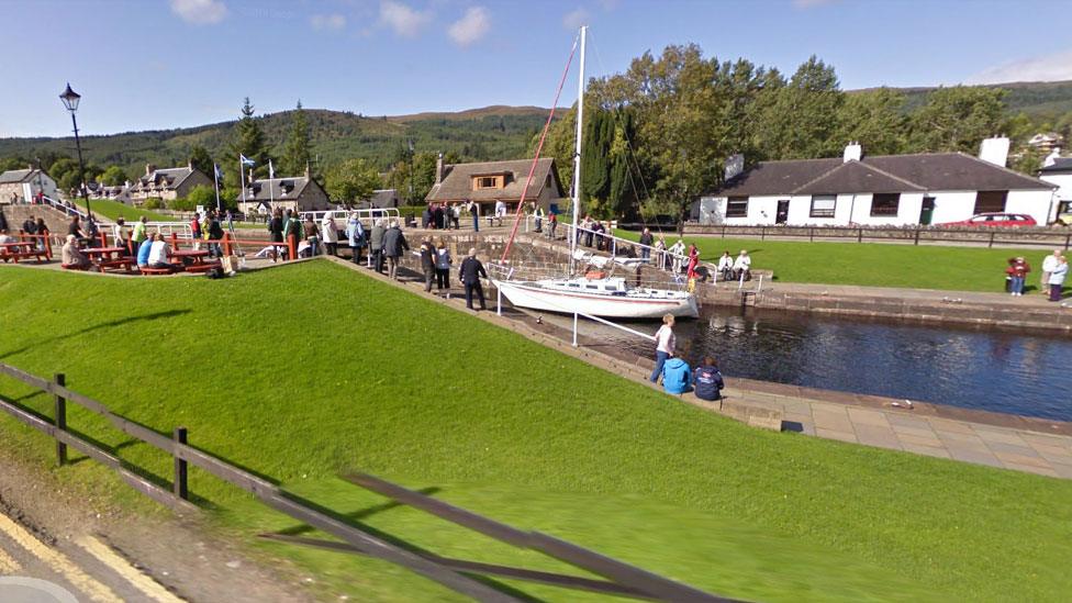
Route canal: Walks on bottom of Caledonian Canal
- Published
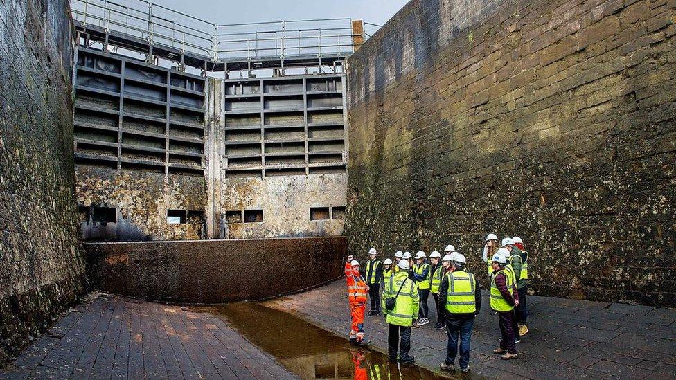
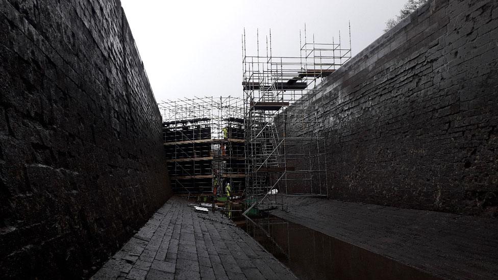
Members of the public getting a tour of the drained canal at Fort Augustus
Members of the public have been able to wander along the bottom of a drained section of the UK's biggest canal.
Opened almost 200 years ago, the Caledonian Canal in the Highlands took 12 years to build.
The waterway's 60 miles (96.5km) length includes lochs Ness, Oich and Lochy and 22 miles (35km) of canal with 29 locks.
A stretch at Fort Augustus has been emptied of water so that lock gates can be replaced, and this section was opened to the public on Friday.
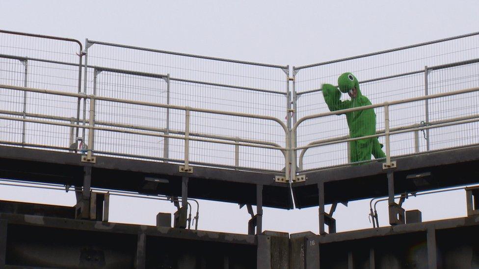
A Loch Ness Monster mascot was on hand to greet visitors on Friday
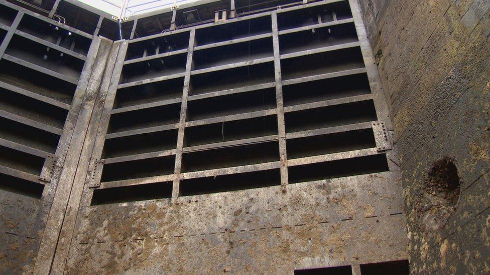
The canal has been drained so that lock gates can be replaced
Scottish Canals engineer Peter Robinson described the shape and size of the drained canal and its massive lock gates as being like an "upside down cathedral".
He told BBC Radio's Good Morning Scotland programme: "For me as an engineer this is a fantastic day to celebrate engineering, history, heritage and engagement with the public."
Mr Robinson added: "You can hear the people's astonishment at the scale of what it is."
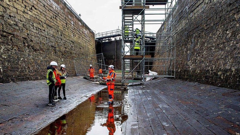
People were given a rare opportunity to walk along the bottom of the Caledonian Canal
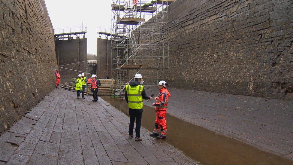
Scottish Canals has drained more than four miles (7km) of the canal to provide safe access to the gates at Fort Augustus, at Loch Ness, and also nearby Kytra to replace lock gates.
Opened in 1822, with repairs and improvements made in the 1840s, the canal was built to designs made by famous Scottish engineer Thomas Telford.
The waterway runs between Inverness and Fort William.
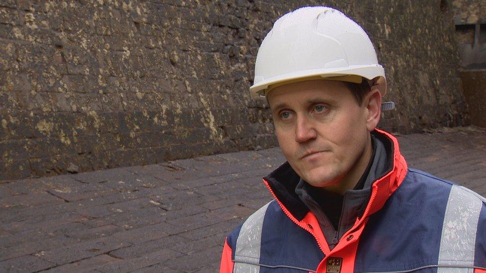
Scottish Canals engineer Peter Robinson described the drained canal as being like an upside down cathedral
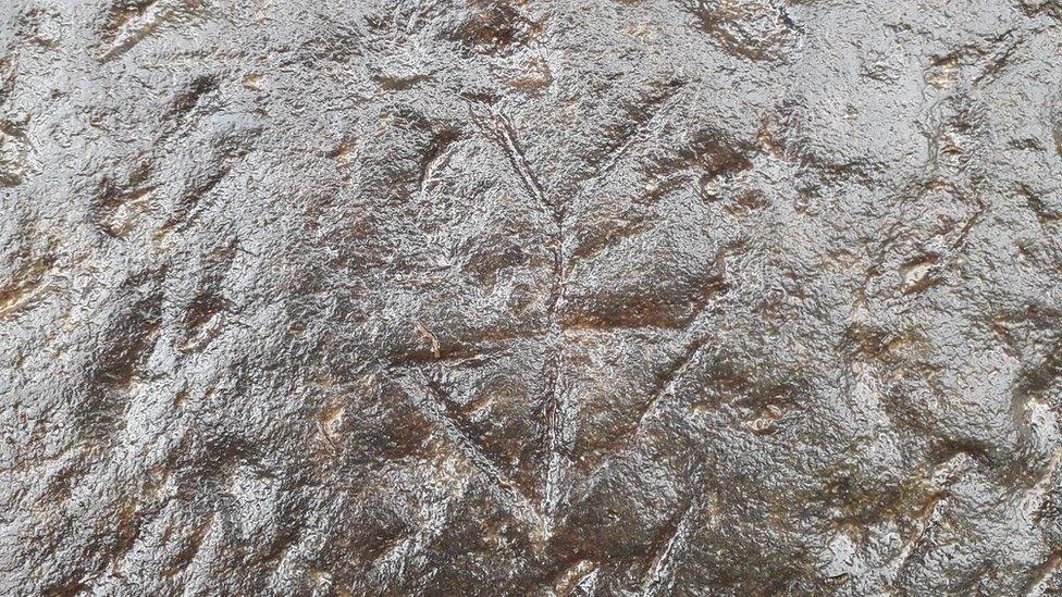
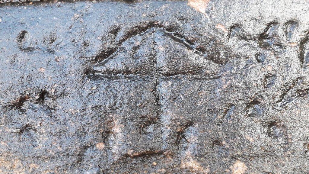
A mark left on canal wall by a stonemason during the waterway's construction 200 years ago
Marks left by men involved in the building of the Caledonian Canal 200 years ago have been found during the work.
Several stonemasons' marks have been found carved into stone of the walls that line the canal.
The marks would normally be hidden underwater.
The stretch of canal involved in the locks work is due to be reopened to traffic next month.
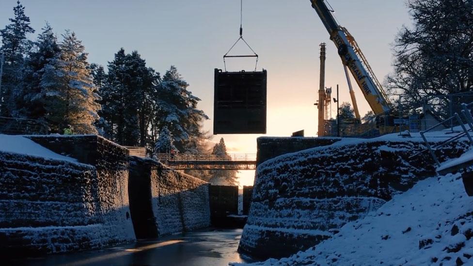
The lock gates at Kytra are also being replaced
- Published21 February 2019
- Published13 February 2019
- Published14 January 2019
