Aerial image shows scale of days-long wildfire in Sutherland
- Published

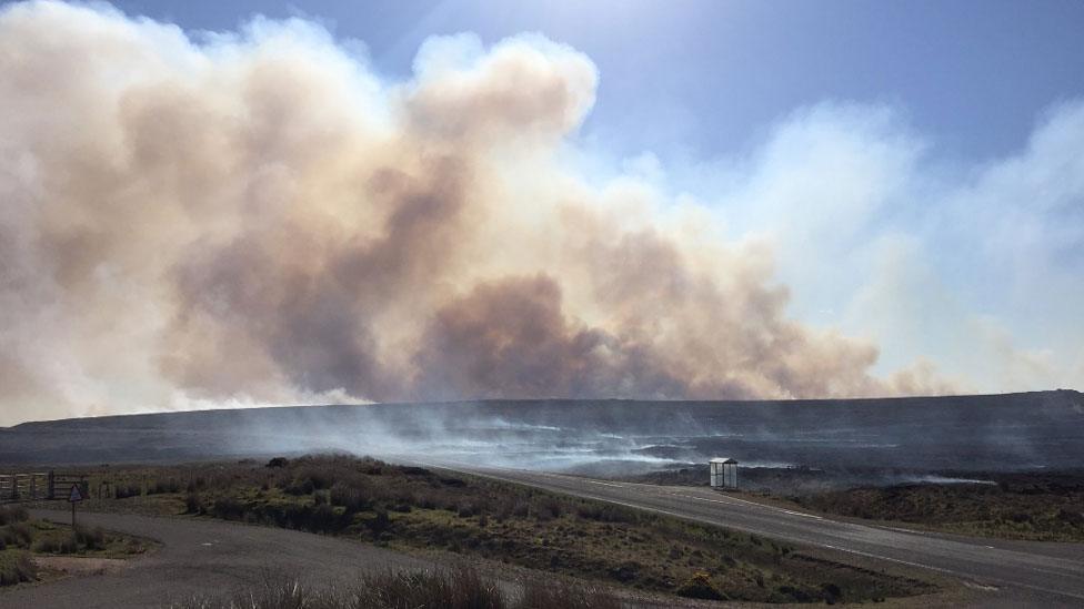
The aftermath of last week's wildfire on an area of Forsinard Flows
The scale of a wildfire's impact on a nature reserve in the Highlands has been revealed in an aerial image.
The fire burned for almost six days between Melvich and Strathy in Sutherland last week.
Firefighters from Sutherland and Caithness, estate workers and RSPB staff fought the flames. Helicopters also water bombed the fire.
More than 20,000 acres (8,093ha) of peatland, including 1,482 acres (600ha) at Forsinard Flows, were burned.

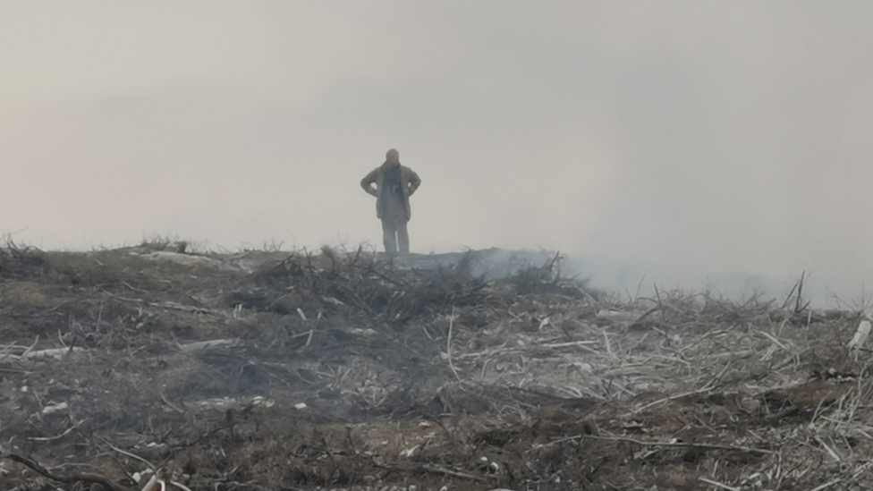
An image by firefighter Kara Simpson of the wildfire's effect on another part of Sutherland
Forsinard Flows is a nature reserve managed by RSPB Scotland in the Flow Country, a massive area of peatland covering parts of Caithness and Sutherland.
The aerial image was taken by Paul Turner.
In another image, by Kara Simpson, a Thurso Fire Station firefighter, the destructive effect of the wildfire in another part of Sutherland can be seen at ground level, with peat and felled trees burned.
At one point the blaze in Sutherland affected electricity supplies to 800 homes.
- Published17 May 2019
- Published18 May 2019