Warning climate change impacting on avalanche risk
- Published

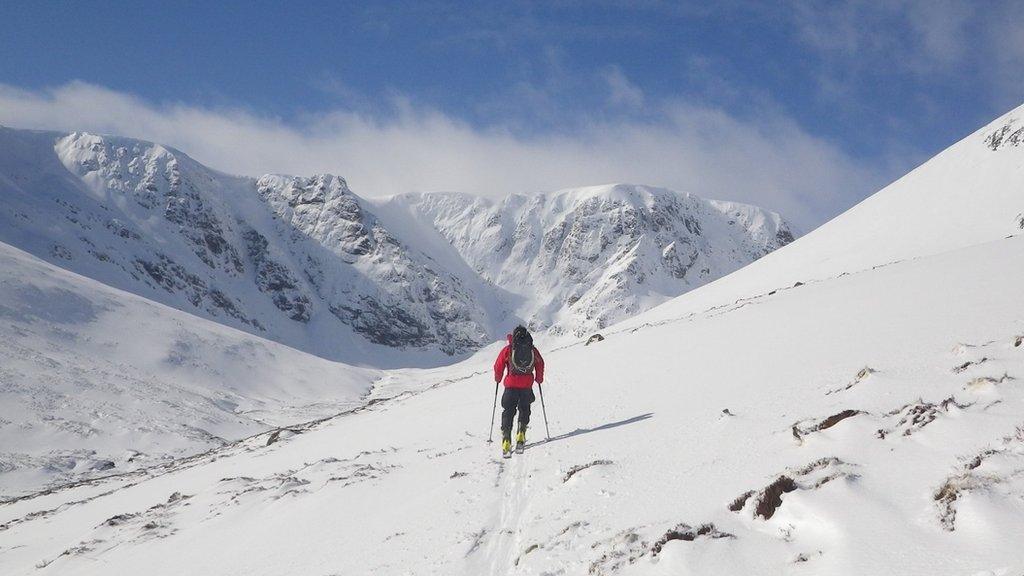
Avalanche forecasters carry out their work in six mountain areas, including on the vast Creag Meagaidh mountain plateau. Picture from a previous winter
Avalanche forecasters say they are seeing likely impacts of climate change high in Scotland's mountains.
The Scottish Avalanche Information Service said conditions were changing more rapidly and avalanches occurring in tighter spaces of time.
It said named storms - such as 2021's Storm Barra - brought short, significant periods of "proper winter", raising the avalanche risk.
The storms have often been followed by rising temperatures and snow loss.
But SAIS warned that even in those "leaner" times when there was less snow potential hazards remained, often higher up towards the top of a coire, gully or mountain summit.
Coordinator Mark Diggins said: "In Scotland it has always been a harsh climate in winter, and things can happen pretty quickly.
"That is something we are continually trying to pass on to folk coming out into the hills and who might not appreciate they are pretty much entering a sub arctic landscape."
But he added: "I would say what we are experiencing now is really rapid changes from one extreme to the other, both in terms of temperature and wind speed, and in the snow amounts.
"For us putting out forecasts, which are offered for a 24-hour period, the hazard could be considerable when we put it out and then the next day it has all been transformed and its a lesser hazard."

Debris from a large avalanche in the Southern Cairngorms in February 2021
Rapid changes in conditions high in Scotland's mountains have been in evidence over the past few weeks.
Days of snowfall were followed by higher temperatures and significant snow loss over the weekend.
The potential avalanche hazard across the six mountain areas SAIS monitor went from "considerable" to "low" almost overnight.
Forecasters in Torridon reported burns and rivers at levels usually seen following heavy rain, but this time swollen by snow melt.
SAIS Lochaber said temperatures rose rapidly in the early hours of Saturday, while the service's Northern Cairngorms team, with tongue in cheek, described conditions as "tropical" on Monday.
The various teams have since reported falling temperatures again.

Over the weekend SAIS Torridon said snow melt had raised the level of the A'Ghairbhe river
Mr Diggins said Met Office data showed the January/February temperature on the summit of Cairn Gorm, one of Scotland's most popular mountains, had on average been two degrees higher over the last 30 years than it had been during the previous 30 years.
He said another likely sign of climate change was that the snow line, the border between snow-covered and snow-free ground, appeared to be creeping higher up mountains.
SAIS' teams of forecasters use internationally-recognised criteria to assess avalanche risk on mountain slopes.
Most of the work is done out in the hills and part of the job involves digging pits down into extensive areas of snow cover, known as the snowpack, to find weaknesses in layers of snow which could result in an avalanche.
SAIS teams have a very good idea of what is going on in the mountains because they have detailed forecasts and information from past field observations.
Mr Diggins said it had previously been possible for visitors to the hills to identify "cues" - signs of potential risks - soon after setting out.
But he said: "What we are seeing generally speaking is the snow line, that was quiet low in the past, is now much higher so we are not seeing those cues that we generally got to start thinking about any avalanche hazard."
Almost 90 avalanches have been recorded so far this season, and 162 last winter.
Over the last 13 winters, the highest number of avalanches recorded by SAIS was 350 in 2013-14 while the lowest was 90 in 2016-17.

An avalanche forecaster's dog among avalanche debris in the Southern Cairngorms last month
SAIS provides daily avalanche hazard forecasts from mid-December to mid-April for six areas - Lochaber, Glen Coe, Northern Cairngorms, Southern Cairngorms, Creag Meagaidh and Torridon.
The areas include Britain's highest mountains, including Ben Nevis, Ben Macdui and Braeriach, and popular summits such as Cairn Gorm, Liathach and Buachaille Etive Mòr.
The service was started by Hamish MacInnes, a legendary Scottish mountaineer dubbed the Fox of Glencoe. It has been run its present format since the 1980s.
SAIS provides daily avalanche hazard forecasts on its website, external and an app.
It uses colours to indicate of the level of avalanche probability, with green for low and going up to black when the risk is deemed to be very high.
There is also a "rose", a chart showing the distribution and altitude of potential avalanche hazards, and a set of symbols to help explain the cause of the problem.
Mr Diggins said it was important people delved into the fine detail of the reports to understand the potential avalanche hazard before setting out on trips into the mountains.

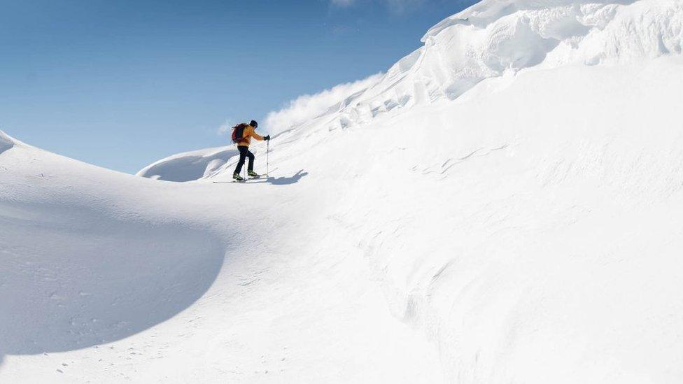
An avalanche forecaster at work in the Cairngorms

Dr Mike Spencer, who works on financial and climate challenges with the Smart Data Foundry at the University of Edinburgh, said research suggested Scottish winters were changing.
He said the Snow Survey of Great Britain, a dataset collected from the 1940s until the mid 2000s, had recorded that the number of days with snow lying had dwindled since the 1990s.
Dr Spencer said: "Since the snow survey ended there have been a handful of very snowy winters, 2009/10 and 2017/18, but many winters the snow cover has been less consistent than in the past."
He said it was expected the future would see warmer average temperatures and more changeable weather because of climate change.
Dr Spencer added: "This changeable weather is likely to mean periods of intense precipitation alternating with drought conditions - something we're already seeing more frequently.
"In the mountains rising temperatures are likely to mean less days of precipitation falling as snow, and when it does the duration it lies for will be reduced."
He said climate models suggested Scotland was still likely to see winters with very heavy snowfall, but over time this was expected to become a less frequent occurrence due to warming average temperatures.
- Published11 December 2020
- Published20 March 2020