Citizen scientists to monitor Stonehaven coastline erosion
- Published

The scheme has been launched in Aberdeenshire
A new initiative aimed at monitoring how coastlines evolve with the help of the public has been launched in Stonehaven.
CoastSnap allows people to help collecting data for beach monitoring, by using a fixed spot purpose-built camera frame.
Images can then be uploaded to a dedicated Facebook page, external.
Aberdeenshire Council said understanding coastal changes has "never been more important".
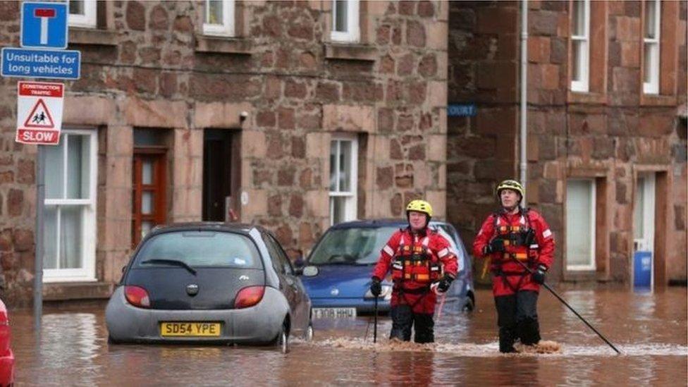
Stonehaven has been badly affected by severe flooding in recent years, including in 2012.

The Stonehaven scheme could be rolled out
Council projects manager Gavin Penman said: "Natural beaches form the first line of defence against high tides and stormy seas in many coastal towns all over the world.
"I would encourage residents and visitors alike to take photographs for CoastSnap to help us collect monitoring data."
'Consider other locations'
Dr Douglas Pender of JBA Consulting - which has developed the scheme with the local authority - said it was a "simple approach".
He said: "It is hoped a vast amount of information can be gained which ultimately provides knowledge for coastal planners and managers.
"We understand this is the first of these coastal monitoring fixings in Scotland and if the Stonehaven scheme is a successful in evaluating beach movement over time, we may consider other locations."
Pictures - including time and date - can also be emailed to Coastsnap@jbaconsulting.co.uk
- Published4 November 2019