Aerial images show 'interesting' human impact on Wales
- Published
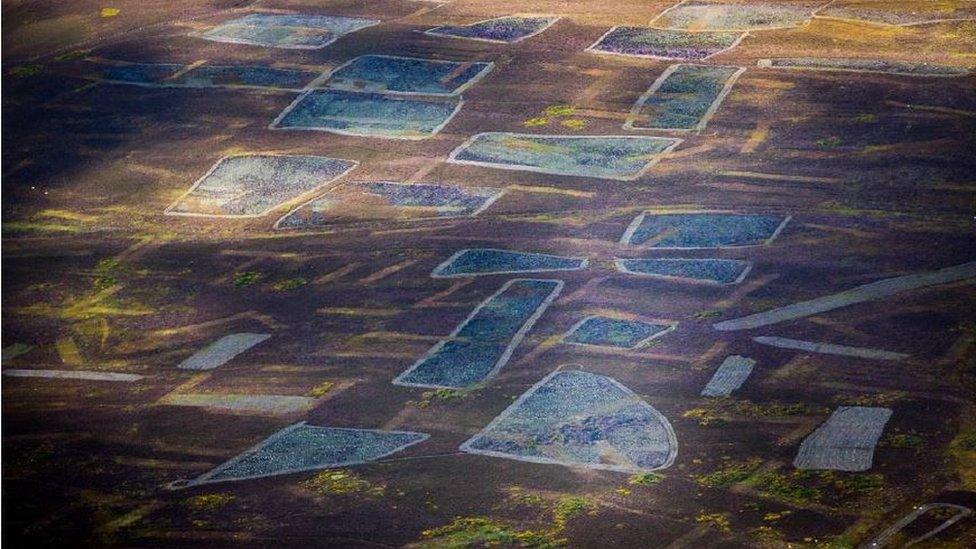
Heather clearing for grouse feeding in Nantyr, Wrexham
The human impact on Wales' landscape has been revealed through a series of aerial images.
Seventy-five pictures will form part of a debate at the Design Commission for Wales' (DCFW) annual conference.
It will look at the relationship between natural resources, human intervention and the physical realities of thousands of years of landscape management.
American aerial photographer Alex MacLean took the pictures last month.
"Wales is extremely interesting to photograph from the air," said Mr MacLean, who will be one of the keynote speakers at DCFW's Landmarks conference.
"Unlike America, which I have spent a lot of time documenting from the air, there is a clear delineation between town and country, as opposed to the US, where you get more of a suburban sprawl, randomly spilling into the countryside.
"It's also clear that many settlements in Wales require you to get into your car to drive for basic provisions, such as groceries, and this infrastructure is one of the many signs of the way we live to have left its mark on the landscape."
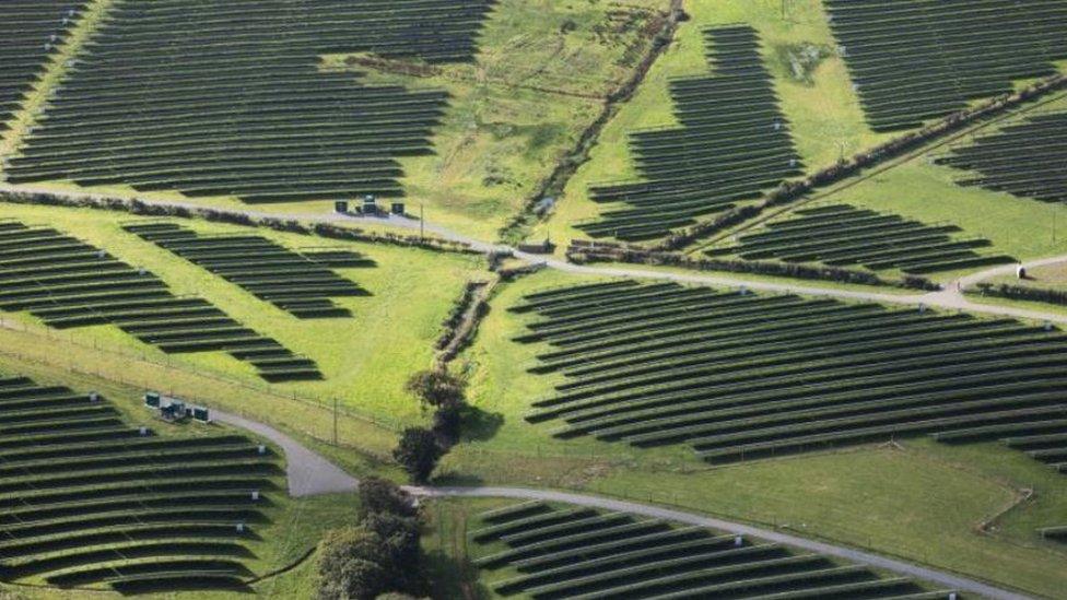
Solar panels in Caernarfon, Gwynedd
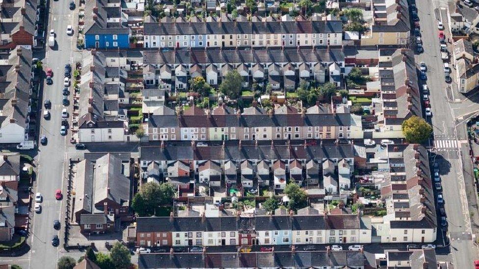
Urban streets, Cardiff
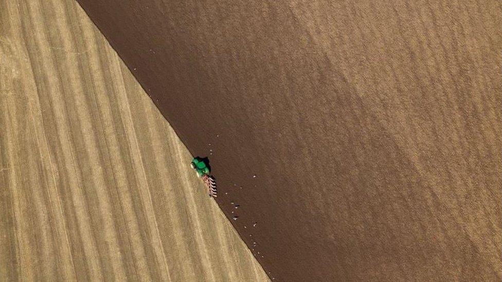
Ploughing fields in Cardigan, Ceredigion
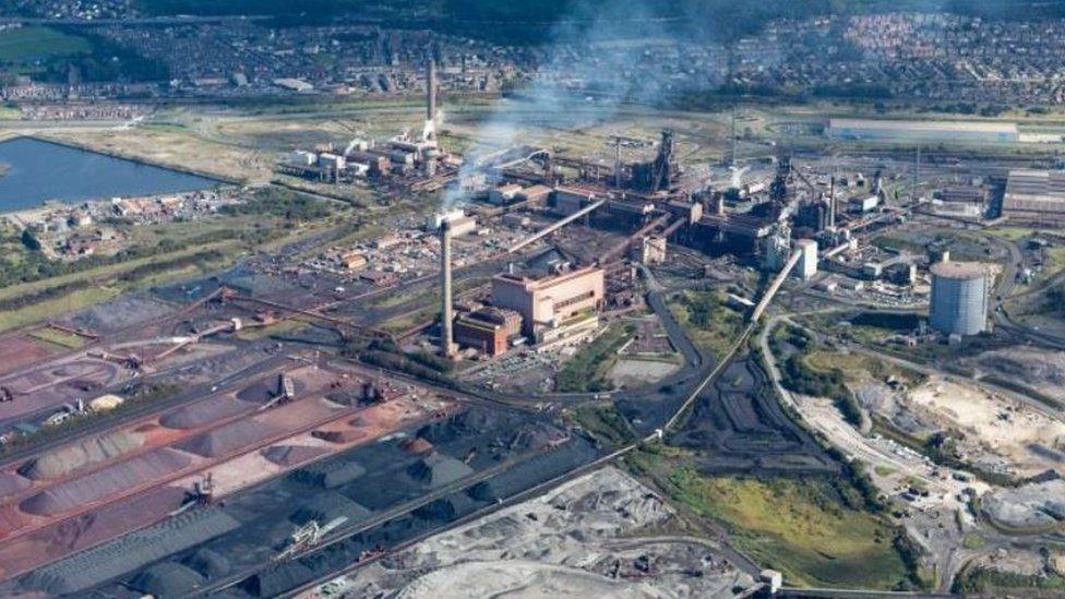
Steelworks, Port Talbot