Wales weather: M4 clear after Storm Frank flooding
- Published
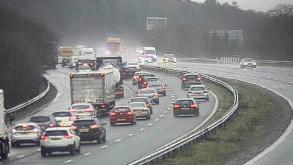
Surface water caused problems on the M4 near Bridgend
Two sections of the M4 in south Wales which were flooded in the wake of Storm Frank have now been cleared.
Police dealt with three separate crashes where there was standing water on both sides of the carriageway between junctions 35 (Pencoed) and 36 (Sarn).
Flooding also blocked one lane on the eastbound stretch at junction 26 for Malpas but it has now reopened.
The Met Office, external weather warning for rain was in place until 18:00 GMT.
Strong winds led to the closure of one lane in both directions of the M48 Severn Bridge in Monmouthshire.
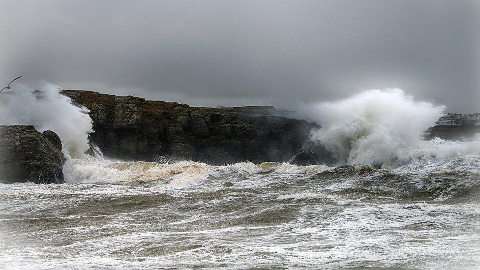
Storm Frank hits Trearddur Bay on Anglesey
Natural Resources Wales said less rain fell overnight than expected but warned some rivers would be very high, fast flowing and dangerous.
Rivers were expected to peak by early afternoon.
Localised flooding has been reported in Pontypool in Torfaen, Cowbridge in the Vale of Glamorgan, Ferryside in Carmarthenshire and Llanishen in Cardiff.
Three flood warning, externals are in place for the Lower Dee Valley in Wrexham, Abergwili in Carmarthenshire and Pontargothi and Pontynyswen in Carmarthenshire.
Several flood alerts have been issued across Wales.
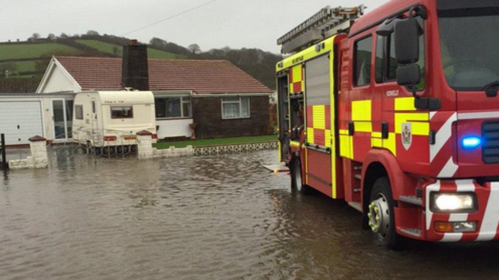
Flooding in Ferryside, Carmarthenshire
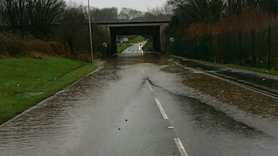
Some roads in Pencoed, Bridgend county, have flooded
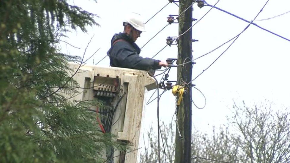
The storm also brought winds of up to 75mph (120km/h), leading to more than 1,400 properties losing power in Carmarthenshire, Pembrokeshire, Rhondda Cynon Taff, Swansea and Newport on Wednesday morning but most have since been reconnected.
On Anglesey, ferry services between Holyhead and Dublin have been cancelled while phone lines were brought down in Llansadwrn and Penmynydd.
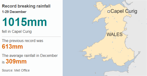
Record breaking rainfall
1-29 December
1015mm
fell in Capel Curig
-
The previous record was 613mm
-
The average rainfall in December is 309mm
In Powys, a fallen tree blocked the A40 at Trecastle before being cleared.
Northern Ireland and Scotland has had to bear the brunt of the storm.
North Wales has suffered in recent days from previous bouts of rain with homes being evacuated and chaos on the roads.
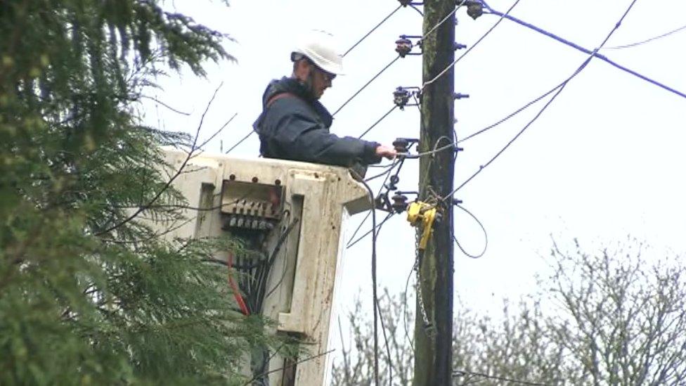
Power was cut off in a number of areas across south Wales

Work was carried out to clear a fallen tree near Menai Bridge, Anglesey
Over the weekend the A55 dual carriageway in north Wales was shut for hours due to flooding.
Drivers were forced to abandon cars while homes at Anglesey and Gwynedd were evacuated.
Natural Resources Minister Carl Sargeant said £1m would be made available for local authorities to carry out immediate repairs and maintenance to river and drainage systems.
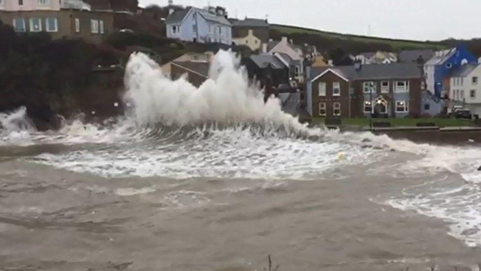
High tides in Little Haven, Pembrokeshire, on Wednesday morning
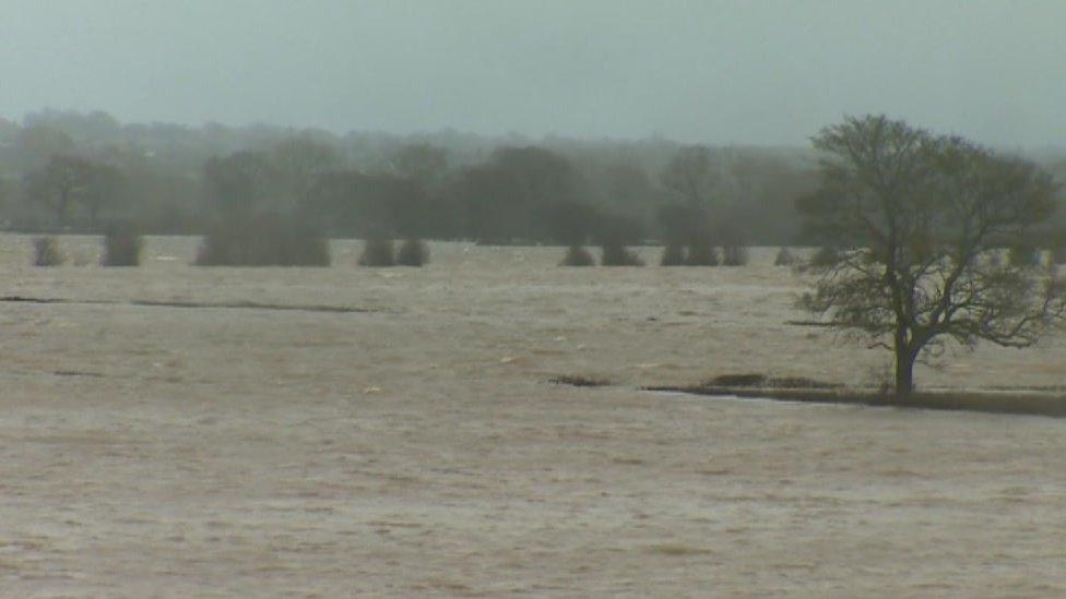
Farmland at Holt near Wrexham was flooded after the River Dee burst its banks

Live flood warnings from Natural Resources Wales, the Environment Agency and the Scottish Environment Protection Agency
Tap here, external for up-to-date flood information.

- Published30 December 2015
- Published30 December 2015
