Mapped: Which country is across the sea from Wales' coast?
- Published
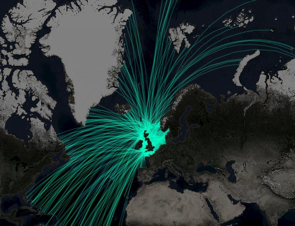
The map uses geodesic lines which represent the shortest route between two points on the globe
Have you ever stood on a beach in Wales and wondered what was on the other side of the ocean?
Finding the answer is not as simple as drawing a straight line on a map, as contrary to the belief of ancient philosophers the Earth is not flat.
Map experts at Esri UK have created an interactive map which shows precisely which countries are directly across the sea from the UK coastline.
Pembroke in Pembrokeshire, for example, faces Antarctica 7,898 miles away.
And if you stand on Barmouth beach in Gwynedd you might be forgiven for thinking you were looking towards Ireland, but you would be facing in the direction of Brazil some 4,447 miles away.
Esri UK cartographer Ben Flanagan explained that traditional 2D maps cannot be used to find out what country is across the sea as they "distort the true nature of the globe".
"Instead you need to factor in the curvature of the Earth," he said.
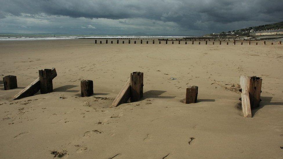
From Barmouth to Brazil
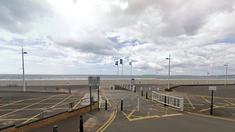
From Port Talbot to Portugal
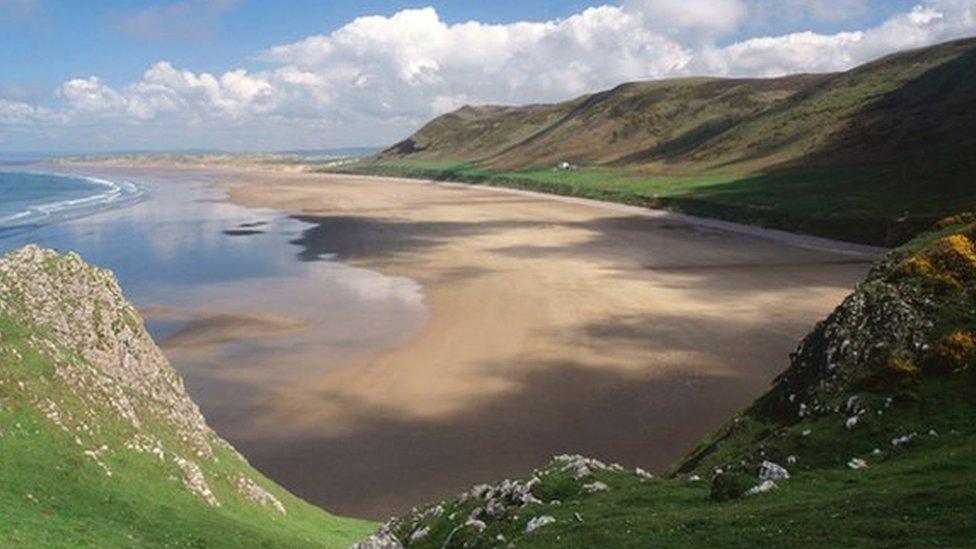
From Rhossili Bay to Puerto Rico
To calculate which country is across the sea the map draws a geodesic line, which represents the shortest route between two points on the globe.
Almost 2,000 points were plotted around the UK coast.
These were placed every time there was a major change in the direction of the coastline.
At each viewpoint it was assumed the person was facing outwards, perpendicular to the coastline. The software then drew straight lines out from the point until another landfall was reached.
Mr Flanagan said: "The map was created to make people think about the relationship between maps and the globe and used to demonstrate just how many neighbours the UK has directly across the sea."

Mapped
Tywyn, Gwynedd - Suriname (4,406 miles)
Little Castle Bay, Pembrokeshire - Falkland Islands (7,354 miles)
Pembroke, Pembrokeshire - Antarctica (7,898 miles)
Pembrey, Carmarthenshire - Spain (1,704 miles)
Rhossili Beach, Swansea - Puerto Rico (4,327 miles)
Port Talbot, Neath Port Talbot - Portugal (1,501 miles)
Kenfig National Nature Reserve, Bridgend county - Venezuela (4,480 miles)
Porthcawl, Bridgend county - Brazil (4,329 miles)

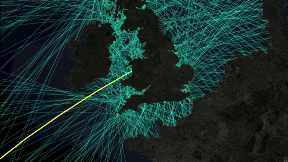
A geodesic line connects Tywyn, Gwynedd to Suriname in South America, 4,406 miles away