Weather warnings as snow, ice and wind to hit Wales
- Published

Snow and ice is set to be followed by winds of up to 70mph, prompting two weather warnings for Wales this week.
A Met Office yellow "be aware" snow and ice warning is in effect from 11:35 GMT on Tuesday until 11:00 on Wednesday.
This is followed by a warning for wind, which starts at 21:00 on Wednesday and lasts until 11:00 on Thursday.
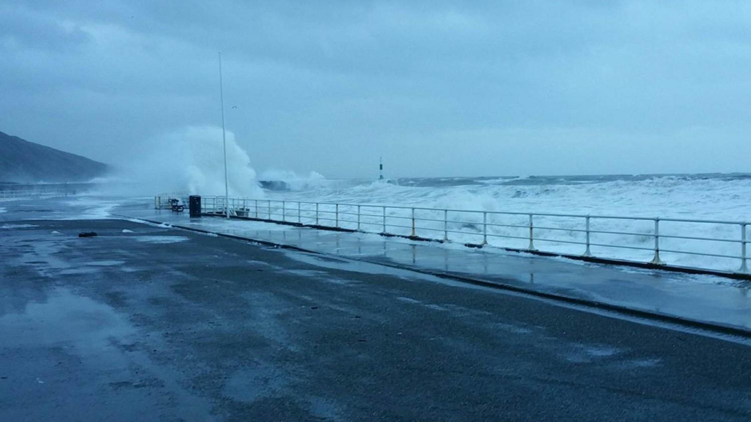
Up to 2in (6cm) of snow could fall on high ground, external, followed by gusts of 60-70mph (95-110km/h) causing "large waves" on some west Wales coasts.
The Met Office expects road, rail and ferry services to be hit and it is possible some bridges may be forced to close.
The chief forecaster said showers would turn to sleet, hail and snow late on Monday night, causing travel delays and the possible cancellation of public transport but "a slushy cover of one or 2cm" was more likely at lower levels.
The wind is expected to cause power cuts and the Met Office said "injuries and danger to life from flying debris" were possible.

Weather warning maps covering Wales for Tuesday (left) and Wednesday

Have you experienced any disruption? Have your travel plans been affected? If it is safe for you to do, please share your experiences with us by emailing haveyoursay@bbc.co.uk, external.
Please include a contact number if you are willing to speak to a BBC journalist. You can also contact us in the following ways:
WhatsApp: +44 7555 173285
Tweet: @BBC_HaveYourSay, external
Text an SMS or MMS to 61124 (UK)
- Published3 January 2018