Exhibition for the man who created the first map of Wales
- Published
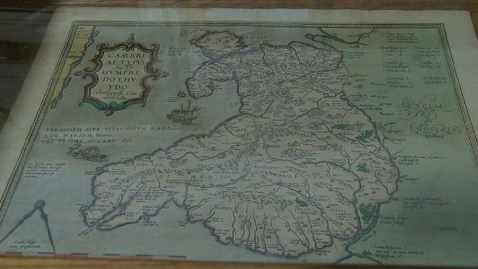
Map curator Huw Thomas said this first version had "geographical deficiencies"
Dame Shirley Bassey, Gareth Bale and Geraint Thomas are just three of names who have, in one way or another, been credited with putting Wales on the map.
But an exhibition is being held for the man who did exactly that, producing the first map of Wales in 1568.
Humphrey Llwyd will be celebrated at the National Library of Wales in Aberystwyth, Ceredigion.
The library's map curator, Huw Thomas, said: "It's the birth - in a way - of the Welsh nation."
Llwyd, from Denbigh, in Denbighshire, who died in 1568, will be recognised in the exhibition to mark the 450th anniversary of his death, which opens on Monday.
He produced the first published map of Wales - previously it had featured on maps of England and Wales or of Britain, but never in its own right.
Llwyd sent a manuscript of the map to the Netherlands so fellow cartographer Abraham Ortelius, external could include it in his first modern atlas, published in 1573.
Mr Thomas said despite its "obvious deficiencies in geography" it went on to be the view of Wales throughout Europe for the next 140 years.
He added: "He was one of the great figures of the Welsh Renaissance."
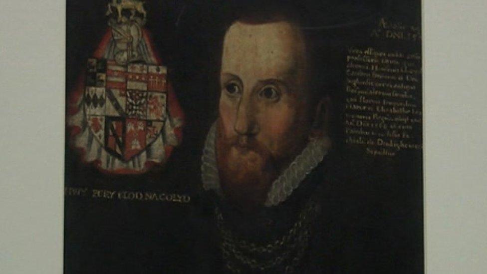
Humphrey Llwyd reputedly coined the phrase 'the British Empire'
- Published24 June 2018
- Published31 May 2018
- Published4 May 2018
- Published4 February 2015
