Newport flooding: Over half of city at risk, report warns
- Published

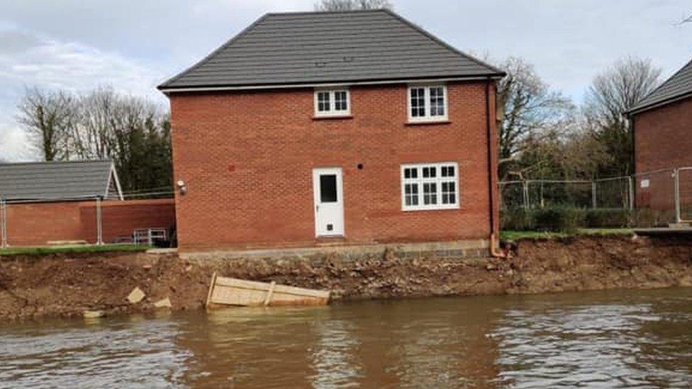
The Welsh Government overruled Newport council to allow housing on a flood plain in Bassaleg
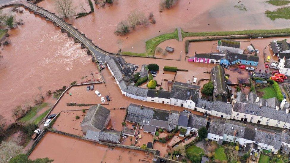
More than half of Newport has been identified as being at risk of flooding in a new council plan on how to respond to future incidents.
It outlines known flood risk areas but full details will not be published due to "commercial and security reasons".
Maindee, Crindau, Duffryn and Lliswerry are among new areas identified by Natural Resources Wales as being at high risk from all sources of flooding.
But the council report, external says tidal flooding is the main threat to Newport.
"Flooding is considered to be the greatest risk of an emergency occurring in the Newport City Council area with over half of the area being identified as at risk of flooding," it said.
"The plan has been developed in order to meet the council's statutory duty to prepare emergency plans.
"It captures the known flood risks to Newport City Council area and provides relevant procedures to respond appropriately to flooding incidents."

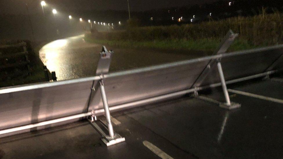
A flood barrier on Caerleon Road can be used during high tides on the River Usk
Plans to improve communication during floods and the requirement to initiate an emergency response team after weather warnings have been included.
Procedures for evacuation and shelter arrangements are also detailed, according to the Local Democracy Reporting Service.
However, the report added: "The plan has been prepared in an official sensitive format due to the information that, for commercial and security reasons, cannot be disclosed to the public.
"Such information includes reservoir mapping (this has been provided by Natural Resources Wales) and identified property counts."
Newport council's deputy leader, councillor Roger Jeavons, is set to sign off the plan on behalf of the cabinet on Wednesday.
- Published11 March 2020

- Published10 March 2020
