Aberystwyth Uni natural disaster app 'could save lives'
- Published
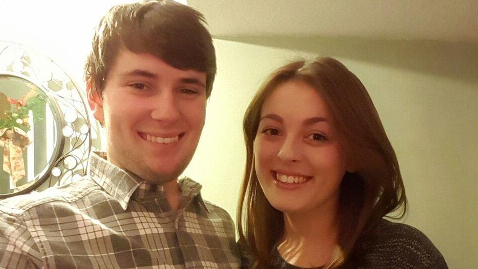
Elliot Vale and Tia Mountain came up with the GeoRescue app idea together
An Aberystwyth University student is creating an app to help people living or travelling in high risk areas.
Physics and planetary physics student Elliot Vale designed GeoRescue with his girlfriend Tia Mountain, a University of the West of England student.
It would provide information on predicted and ongoing natural disasters and guide people from affected areas.
The couple will present their idea at a space conference in Manchester which begins on Tuesday.
They will also have the chance to pitch it to a Dragons Den-style panel of space experts in June, who could commission the idea to be developed into a fully-working app that is hoped could save lives.
It would guide people to safety using advanced maps services and once activated, would emit a signal using GPS to indicate a person's location for search and rescue services.
Risk awareness
Mr Vale is nearing the end of a semester at University Centre in Svalbard, which lies inside the Arctic Circle.
A recent avalanche which destroyed a house on the Norwegian archipelago heightened his awareness of the risks posed by natural disasters, and the potential uses for an app like GeoRescue.
"Thankfully no-one was injured by the avalanche, but it made me acutely aware of the risks of living in a dangerous environment," Mr Vale said.
Mr Vale said Ms Mountain initially came up with the premise.
"I agreed that that was an important thing to address, especially given that living where I am currently constantly has the threat of avalanches," he said.
"I brought together the satellite data, demonstrating how current instruments exist to help with flooding, forest fires, earthquakes, avalanches, tornadoes and even volcanoes, as well as the capabilities for providing emergency service routes to improve efficiency with rescuing people and escape routes for normal citizens."
While the app is purely a concept at the moment, Mr Vale said in practice people would provide basic details about themselves, their lifestyle and where they live which would be provided, with consent, to emergency services when a "distress beacon" is activated.
The app would also create a map for the user of the area they are in, and anywhere they want to check if they are planning a trip.
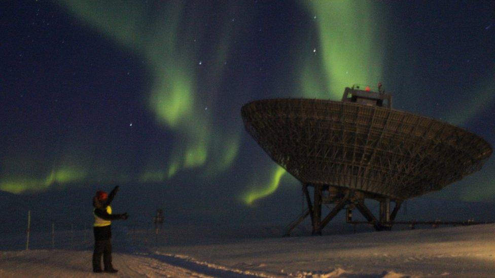
Elliot Vale at Eiscat on Svalbard, where he has been studying for five months
Affected areas would be highlighted in a colour code, with fire showing as orange, flooding blue, landslides green, avalanches white - solid colours for ongoing disasters and striped for predicted ones.
"If a person gets into danger, especially in a region that has no internet or signal, then by pulling down on a bar at the top of the screen within the app a button will appear that states 'I need help'," Mr Vale said.
"Upon pressing this button, the GPS coordinates, as well as the basic information the user provided, will be sent out to the nearest emergency service, to allow them to act quickly upon the issue.
"Ideally, some functionality would exist where, for example, should certain criteria be met in the case where a person has been rendered incapacitated or unconscious and cannot manually activate the distress signal, the phone will do it automatically."
Potential for abuse
But he added the app concept was not perfect - and would need expert help.
"I understand there is a potential for abuse within this, as well as the general idea, but would want to work with the experts to find ways of reducing the capability for abuse whilst maintaining the immediate and autonomous nature of the function.
"It is a certainty that there are going to be disasters or potential hazards that are going to be missed, 100% effectiveness cannot be guaranteed.
"So I would like to see the ability for people who travel to take photos of things they have seen that have not been picked up by the app and post them on a 'bulletin' for others in the area to look at."
- Published5 May 2017
- Published17 October 2013
- Published16 October 2013
