Volunteers use GPS devices to keep Snowdonia tidy
- Published

Litter pickers are using GPS trackers to record where rubbish is found
A charity has started using satellite tracking technology to help reduce the amount of litter in Snowdonia.
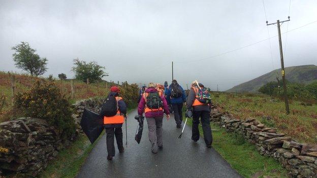
Volunteers from the Snowdonia Society are taking GPS devices out on their regular litter picks across the national park.
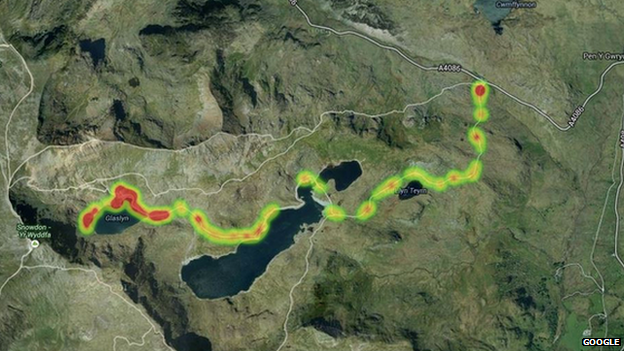
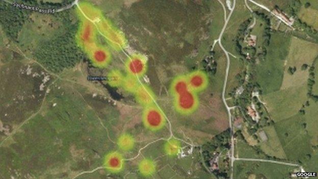
They are using them to record where the litter was found and to build up a computer map of the messiest areas.
These areas will then be targeted for more regular clean-ups.

Red areas show where litter was found on the Miners' Track near Snowdon

Satellite map showing litter found in the Gwernengan area of the Sychnant Pass
Project officer Owain Thomas told BBC Radio Wales: "When you compare the amount of visitors that Snowdon has with other popular mountain areas in the UK, the amount of litter that accumulates is quite low.
"But there are certain hotspots in popular picnic lunch areas where you'll find the majority of the litter, and winds sometimes blow it around the mountain."

Volunteers keep Snowdonia clean with the help of GPS trackers
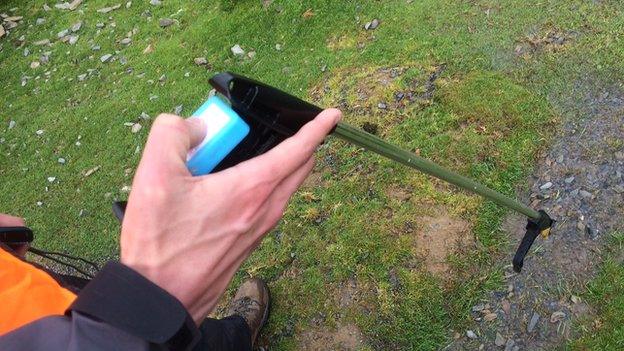
The GPS tracking device is a small gadget not much bigger than a person's thumb. Each time a piece of litter is picked up, a button is clicked, and the device logs the location where the rubbish was found.
Helen Pye, warden with the Snowdonia National Park Authority welcomed the innovation.
She said: "Litter can be a problem in some areas. We've found everything from tents and barbecues to 60 Euros in cash, a false nail and even a Coke can from the 1960s."