Most detailed Victorian map of Swansea digitised on CD
- Published

The map is 'extremely impressive' according to Andrew Dulley, from the West Glamorgan Archive Service
At 132 sq ft (12.26 sq m) the most detailed map of Victorian Swansea ever created is a little on the large side to unfurl on your kitchen table.
That is why the West Glamorgan Archive Service, external has spent the last two years digitising it for use on a new interactive CD.
The giant map was first created in 1852 by London surveyor Samuel Grant to help with planning after the Swansea Local Health Board was formed to regulate sanitation.
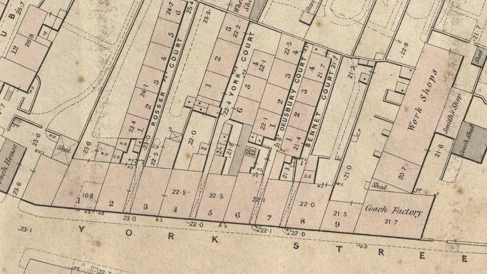
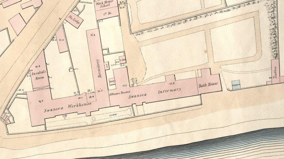
It shows every building which existed in the city at the time, from slum shacks to the grandest halls, and even includes details on the location of downpipes, dog houses, stables, sundials, pumps and piggeries.
'Poverty and wealth'
Users of the CD can compare streets in modern Swansea with their Victorian counterparts and zoom in on individual properties for more detail.
Andrew Dulley, from the West Glamorgan Archive Service, said: "The detail of the map is extremely impressive.

"Take Bennet Court as an example - it might sound quite grand, but the map shows it was actually a row of four tiny one-up, one-down houses that shared a single toilet and fronted on to an alleyway where people could barely pass without bumping shoulders.
"A coach maker's workshop was also nearby, as well as the peaceful garden of a gentleman's townhouse.
"What the map shows is that poverty and wealth were sometimes located very close to one another."
Other features of the CD include photographs and engravings of some of the places on the map that no longer exist.
There is also a transcript of George Thomas Clark's 1849 street-by-street survey of Swansea and an account of how the map came to be commissioned in the first place.
It is available from West Glamorgan Archive Service online, external.
- Published1 July 2014
