In pictures: Typhoon Mangkhut rips through Philippines
- Published
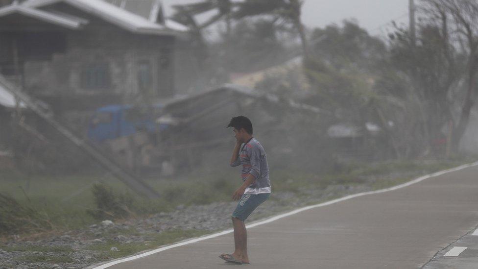
Typhoon Mangkhut has wreaked damage across the Philippines' main island of Luzon, reportedly killing 14 people.
It made landfall at Baggao in Cagayan Province at about 01:40 local time on Saturday (17:40 GMT on Friday).
Officials said about 1,000 homes in the province had sustained damage.
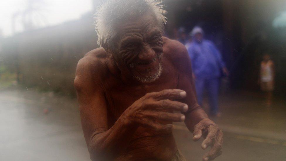
Here an elderly resident of the town of Aparri on the north coast of Luzon is seen during the high winds and rain.
The evacuation centre in the town is said to have been destroyed and phone networks are down.
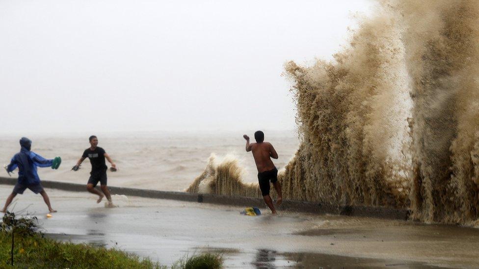
Some in Aparri however found amusement amid the waves.
The storm packed winds of 185km/h (115mph). Four million people were in its path, and thousands were evacuated amid warnings of 6m (20ft) storm surges.
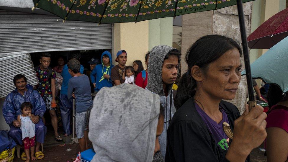
Residents of Gonzaga in north-eastern Luzon were evacuated to shelters.
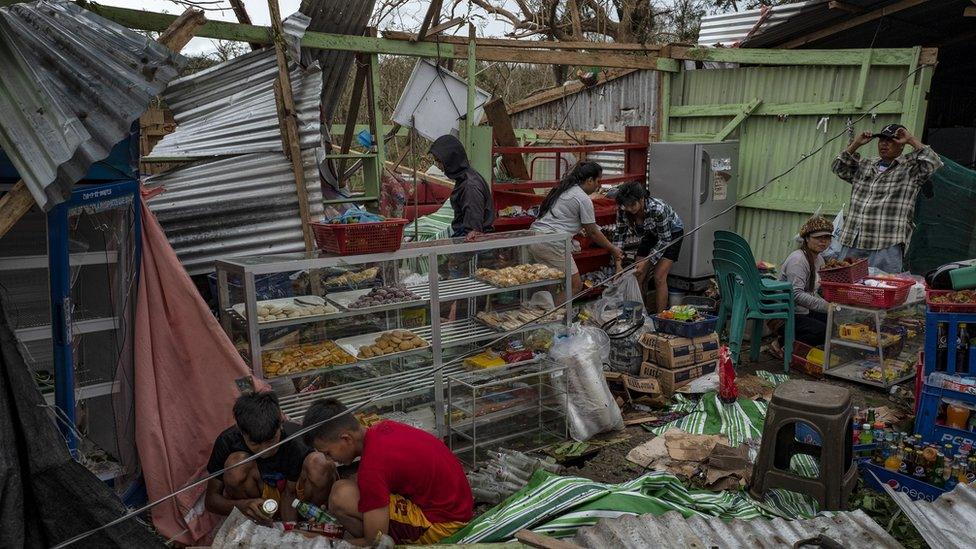
In nearby Gattaran residents scrambled to recover reusable items after the storm destroyed homes.
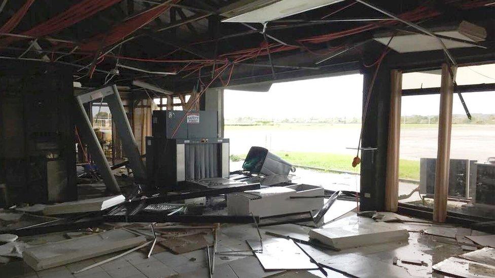
Almost all buildings in the city of Tuguegarao sustained some damage, a government official said, including the city's airport.
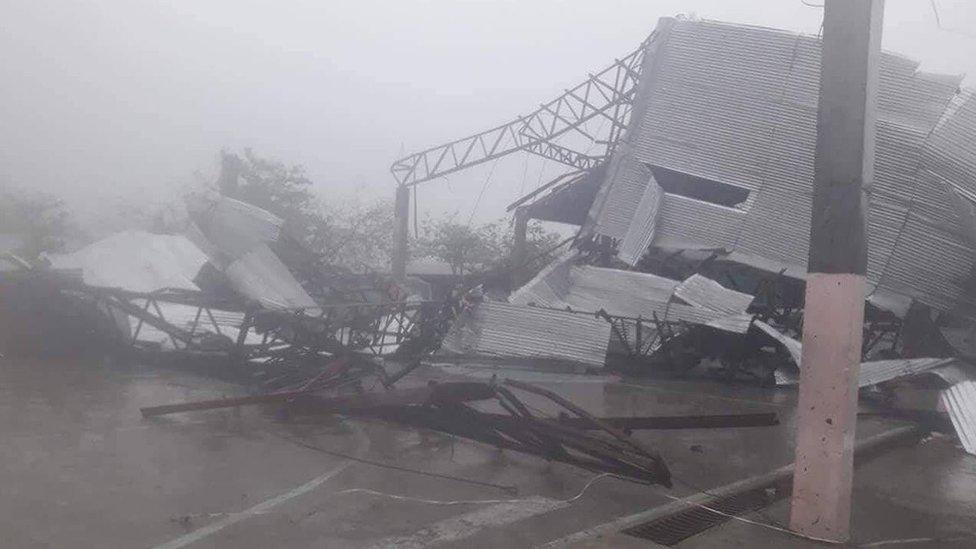
On Luzon's western coast, buildings in the town of Laoag were also left badly damaged.

Further south there was heavy flooding in San Mateo, east of the capital Manila.
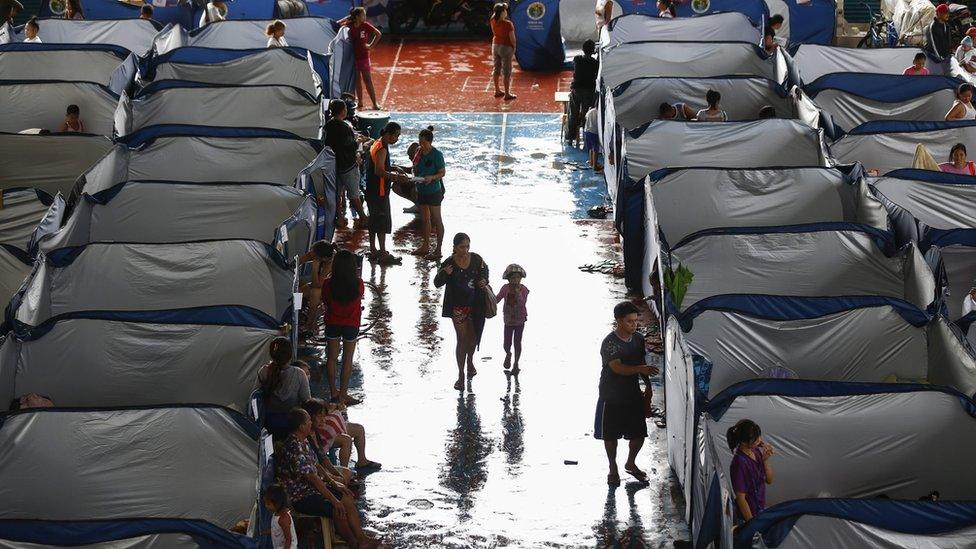
An evacuation centre was set up for those forced to flee their homes in nearby Marikina.
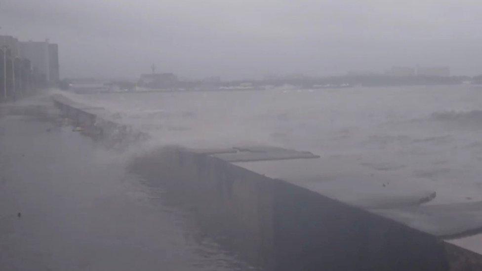
Manila was also affected, with waves seen here splashing over the sea wall on the city's Roxas Boulevard.
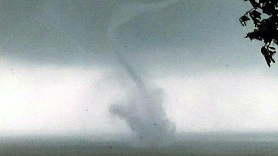
The typhoon is now moving west towards China. Here sea water is seen being sucked into the air off the eastern coast of Taiwan.