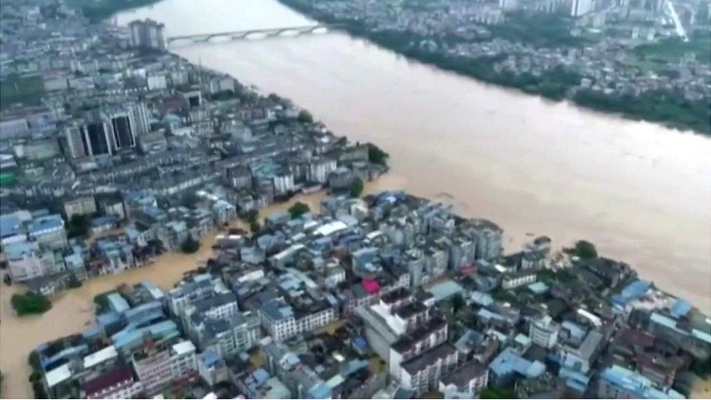
In pictures: Severe floods engulf eastern China
- Published
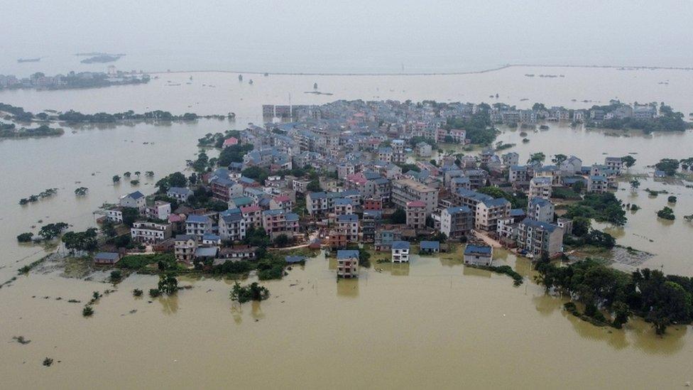
Over the last few days, floods have overwhelmed parts of central and eastern China.
Several dams across the country's largest fresh water lake, Poyang, have burst, with the lake reaching record water levels, according to data from China's National Weather Satellite Centre.
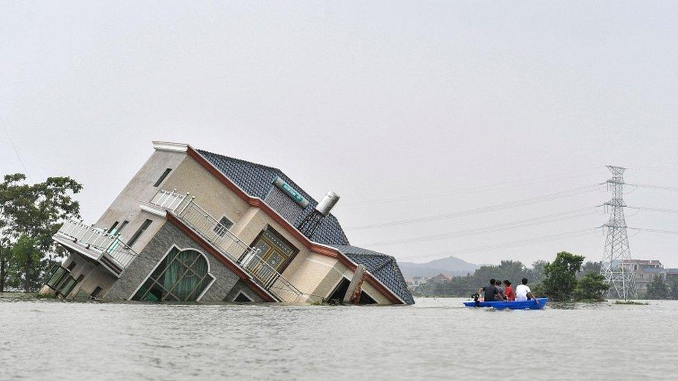
Earlier this week, the authorities said 33 rivers had reached record highs, while downpours are continuing to batter regions along the Yangtze River.
On Wednesday, the Ministry of Water Resources said the water level of main streams in the middle and lower reaches of the Yangtze river, Dongting lake and Poyang lake was gradually falling.
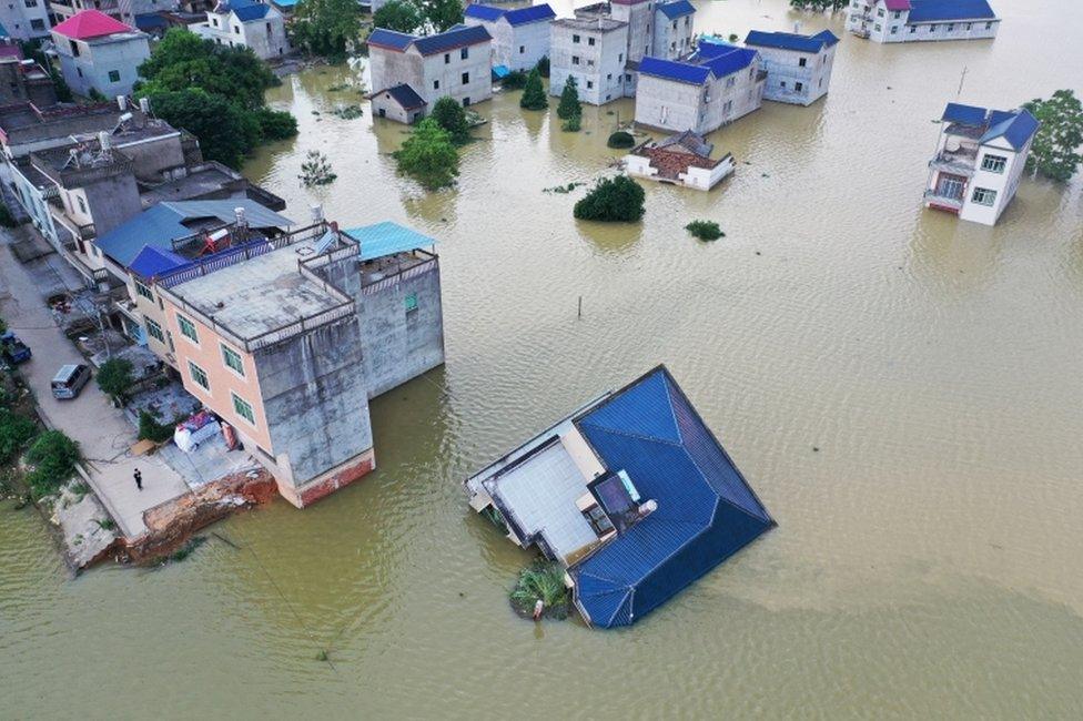
However, the water level of 98 rivers nationwide is still at an alarming level, according to the ministry, which maintains a level-three emergency flood response.
Some buildings could be seen collapsed into the water.

Some 140 people are reported to have died and millions have been evacuated.
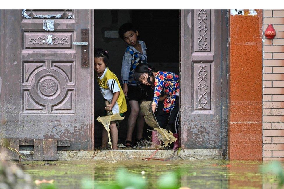
Thousands of soldiers have also been dispatched to shore up the lake's banks in Lushan.

All pictures subject to copyright
- Published12 July 2020
