Australia floods: Western Sydney 'greatest concern' as more rain falls
- Published
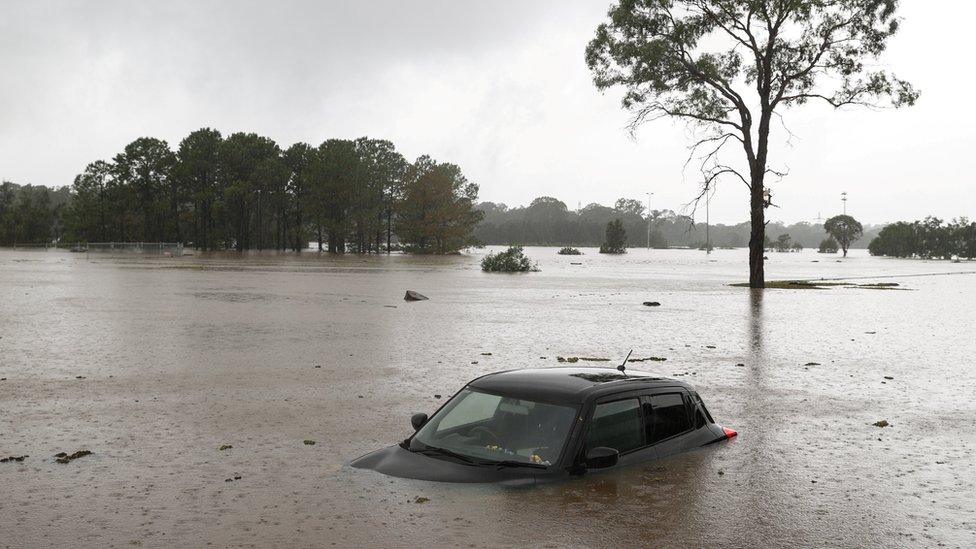
A car is abandoned in flood-hit New South Wales
Western Sydney is now the "greatest concern" from the worst floods in decades to have ravaged eastern Australia, PM Scott Morrison says.
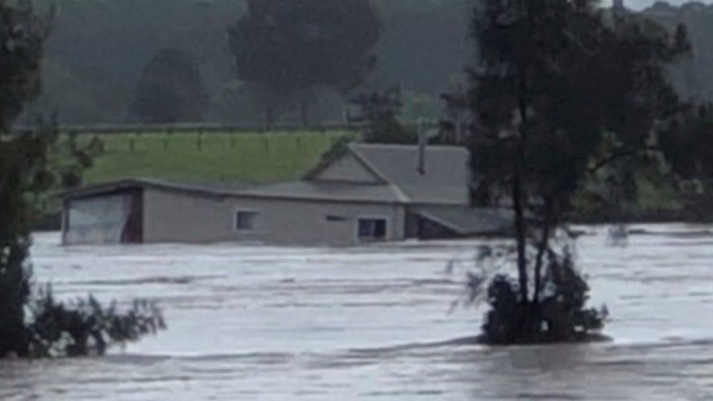
Parts of New South Wales have seen almost 1m (3.2ft) of rain, flooding hundreds of homes and severing roads.
Mr Morrison warned of more rain and days of danger to come as the emergency became not "just a coastal event".
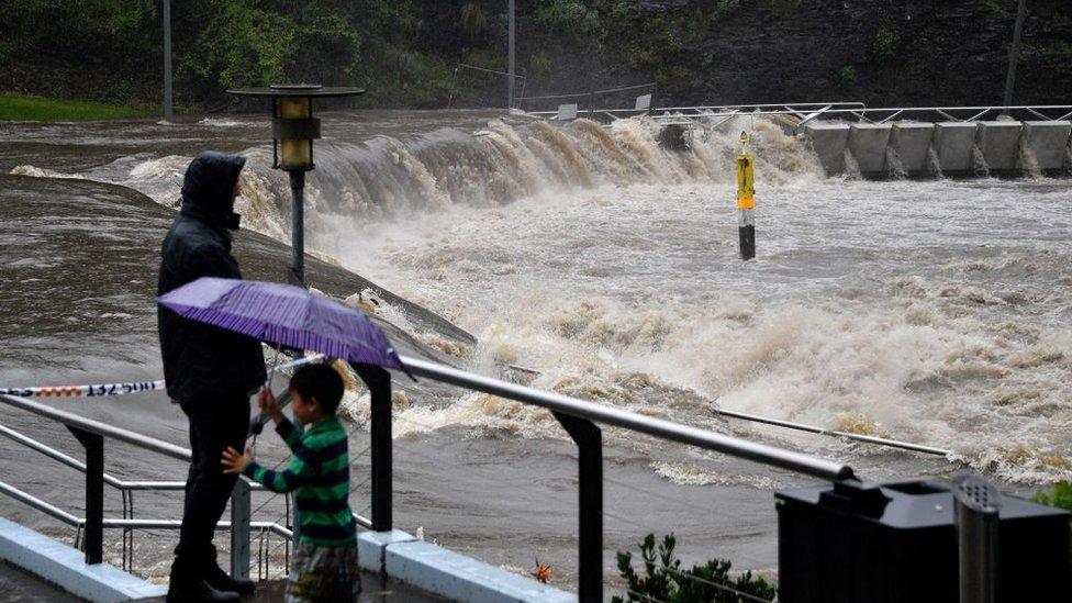
He said Sydney's largest dam would overflow for at least another week, threatening highly populated areas.
Warragamba Dam discharged 500 gigalitres on Sydney - equivalent to the volume of Sydney Harbour.
"We advise that the rain and flood situation does remain dynamic and extremely complex," Mr Morrison said on Tuesday.
No deaths had been reported but thousands of people have been evacuated and troops deployed after days of torrential downpours across the country.
The prime minister said the rain was expected to ease on Wednesday but the flood threat would remain.
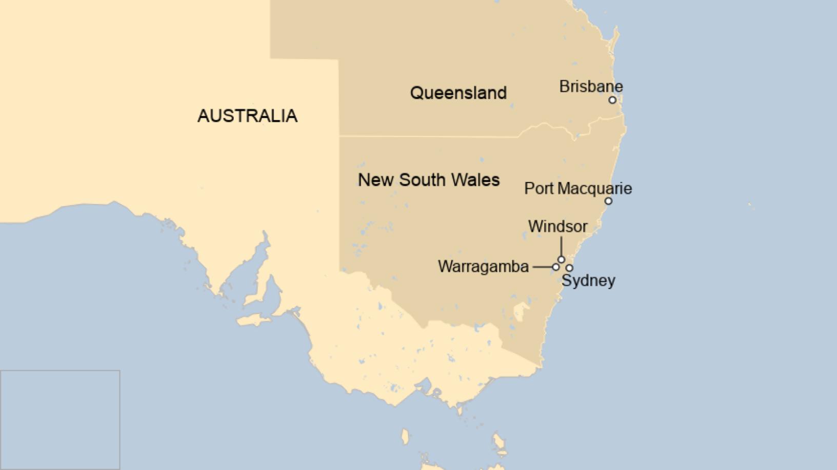

Some 18,000 people have been evacuated so far in NSW, including a 37-year-old woman in labour who was airlifted after being trapped by the flooding west of Sydney.
Another 15,000 were on evacuation notice on Tuesday.
What is the latest forecast?
Australia's Bureau of Meteorology (Bom) has warned the situation is "far from over" as two major weather systems collide.
Southern coastal and inland areas now face a significant threat.
Australia floods: Is the jet stream to blame?
A BoM tweet said an area as large as Alaska - stretching from NSW to the Northern Territory - was now being affected by weather warnings.
Mr Morrison said "full impact assessments" were still to be made in Sydney.
In all, 10 million people are under warnings in every state and territory except Western Australia.
A low pressure weather system that has been inundating the NSW coast for days has now been met by another weather system inland that is moving east.
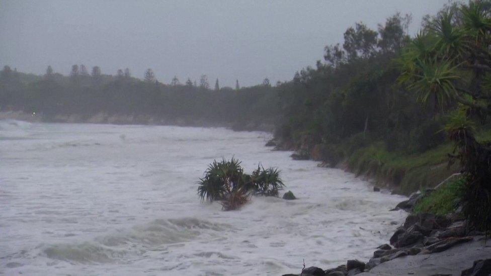
The bureau has forecast "increased rainfall, strong winds, damaging surf and abnormally high tides" in the state on Tuesday.


The BoM's flood manager, Justin Field, said it was "probably the worst flooding that I've experienced" in 20 years of forecasting.
The military is being deployed to help with search and rescue.
But the bureau did predict some respite, tweeting: "Most areas of New South Wales will see a clearing trend early Wednesday as a drier airmass moves into the region."
What has been the damage so far?
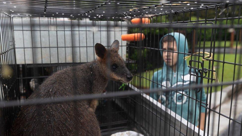
"Several hundred homes have been flooded, roads damaged, wildlife lost [and] telecommunications and power outages across the flooded areas have been reported," Mr Morrison said.
Emergency crews had conducted at least 700 rescues and 9,000 insurance claims had been lodged already, he added. More than 2,500 people had applied for financial assistance.
People in many areas have been ordered to evacuate and others have been given evacuation warnings.
An order requires people to seek shelter with family or friends well away from flood impacted areas, external, or in a special centre. The warning tells people to prepare for an evacuation order.
Areas around the Colo and Hawkesbury rivers are of particular concern. They are seeing the worst flooding since 1961.
Among the incidents that have happened:
In Port Macquarie's North Shore, one resident was filmed dragging a stingray through what was his front lawn
On Sunday a young couple saw their house north of Sydney swept away by flash floods on what should have been their wedding day
Spiders and snakes attempting to escape the floodwaters have been seen swarming inside resident's homes.

'Water as far as the eye can see'
By Shaimaa Khalil, BBC News Australian correspondent in Windsor
The town of Windsor is one of the worst-affected areas. It's hard to make out the newly built Windsor bridge, all but submerged by the swollen Hawkesbury River.
Residents tell me they're no strangers to floods but they haven't seen anything like this.
"We've barely had three hours of sleep in the last 24 hours," says Cameron Wassens, whose family has been watching water inch ever closer to their home.
We stand in their back garden, which is barely visible now.
His wife, Joanna, says: "It's just like a lake full of water for as far as the eye can see."
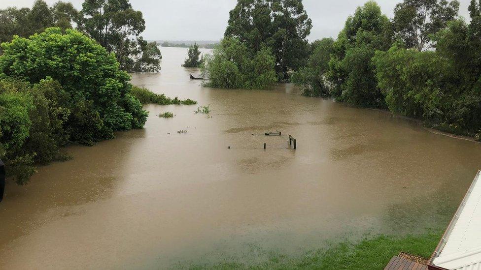
The view from the Wassens' home
It's been an anxious few days for the Wassens and hundreds of other families in the area, especially now as they wait in limbo.
"But we're ready to evacuate. We've packed up ready to go. If we get the order then we will leave to save ourselves," Ms Wassens says.

From fires to floods
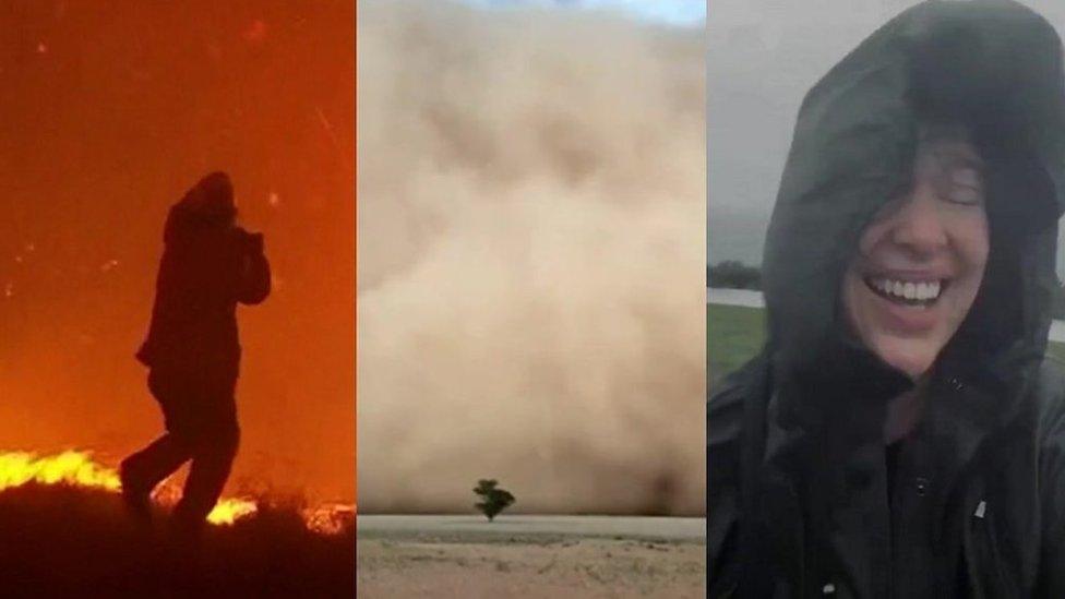
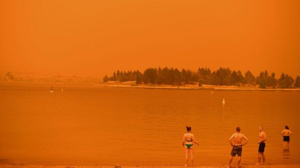
The intense summer of rain and floods in eastern Australia is a stark contrast to a year ago, when many of the same areas were scorched by mammoth bushfires and ravaged by drought.
This side of the continent is currently experiencing a La Niña weather pattern, which typically brings more rainfall and tropical cyclones during summer.
Two of Australia's three wettest years on record have been during La Niña events. Typically a La Niña sees a 20% increase in average rainfall from December to March in eastern Australia.
Scientists say that climate change is also intensifying La Niña's impact, and making weather patterns more erratic.


Are you in the affected region? If it is safe to do, share your experiences by emailing haveyoursay@bbc.co.uk, external.
Please include a contact number if you are willing to speak to a BBC journalist. You can also get in touch in the following ways:
WhatsApp: +44 7756 165803
Tweet: @BBC_HaveYourSay, external
Please read our terms & conditions and privacy policy
If you are reading this page and can't see the form you will need to visit the mobile version of the BBC website to submit your question or comment or you can email us at HaveYourSay@bbc.co.uk, external. Please include your name, age and location with any submission.
Related topics
- Published22 March 2021
- Published22 March 2021
- Published14 December 2020
- Published30 October 2020
- Published21 March 2021
- Published20 February 2020
