Greece fires in maps and satellite images show extent of damage
- Published

Tens of thousands of people have been forced to leave their homes and abandon holidays on Greek islands including Rhodes and Corfu as fires spread across the region.
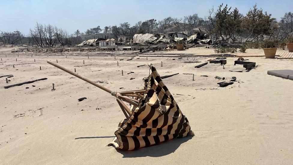
In Rhodes a black scar has been scorched across the middle of the island to the southern town of Kiotari.

Satellite images show the extent of the damage to the popular holiday resort.
Your device may not support this visualisation
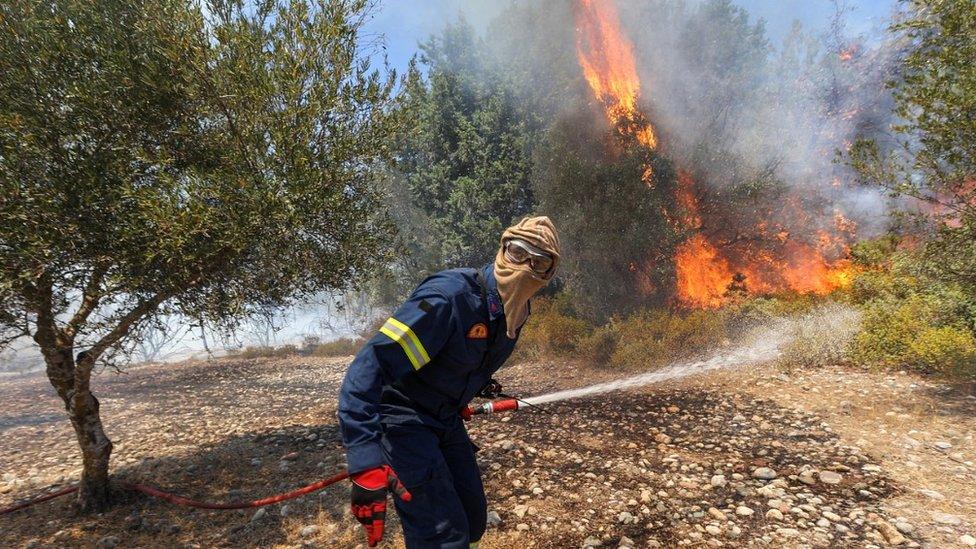
The flames have destroyed many homes and businesses in the town.


Rhodes fires map
The fires have been burning since last week on Rhodes, where temperatures have reached 45C, and the whole island has been put into a state of emergency.

More than 20,000 people have fled the flames on the island since the weekend, Greece's largest-ever wildfire evacuation.

Some 16,000 people have been transported across land and another 3,000 evacuated by sea, police say. Others have had to leave by road or use their own transport.
They include thousands of tourists who had to make for temporary shelters like sports stadiums before getting the emergency planes laid on by travel companies.

But with Greece in the middle of a long spell of extreme heat that has increased the risk of wildfires across the country, Rhodes is not the only place that has been affected.
Greek Prime Minister Kyriakos Mitsotakis says the country is "at war" with the wildfires and warns it faces "another three difficult days ahead" before temperatures are expected to drop.
The Civil Protection Ministry warned of an "extreme danger" of fire in six of the country's 13 regions on Wednesday.
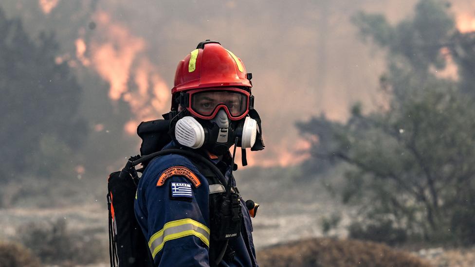
Civil protection minister Vassilis Kikilia says fire crews have been fighting more than 500 fires across the country over the past 12 days - including in Midea on the mainland.

On Wednesday night, citizens in areas around the central Greek cities of Volos and Lamia threatened by new outbreaks of wildfires were told to move to safety.
Fires across Greece mapped
Thousands of people have also been evacuated on Evia and Corfu, while Crete - another major holiday destination and the largest of the Greek Islands - is on high alert.

Satellite images show smoke blowing from fires on the blackened hills near Kassiopi in the north of Corfu.

The situation in Greece is the result of a heatwave across southern Europe and northern Africa that has helped create dry conditions and also let fires take hold in Sicily, Croatia, Algeria and Tunisia.

The situation would have been "virtually impossible" without human-induced climate change, scientists say, adding it has made the heatwave in Europe 2.5C hotter.
More than 40 people have died in Algeria, Italy and Greece as result of the fires - the majority, 34, in Algeria.
By Chris Clayton, Dominic Bailey, Tural Ahmedzade and Kate Gaynor
- Published26 July 2023
- Published26 July 2023
- Published24 July 2023
- Published25 July 2023