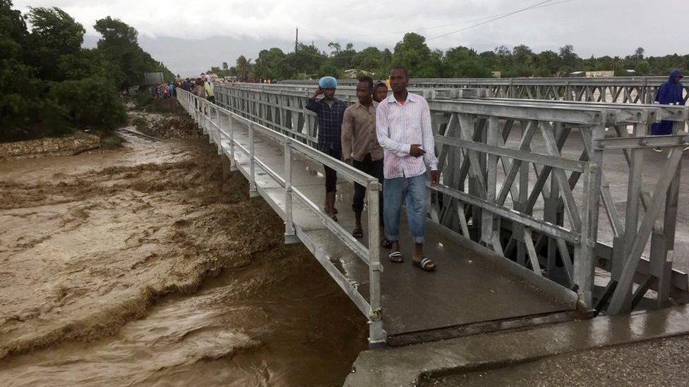
In pictures: Hurricane Matthew causes destruction in Haiti
- Published
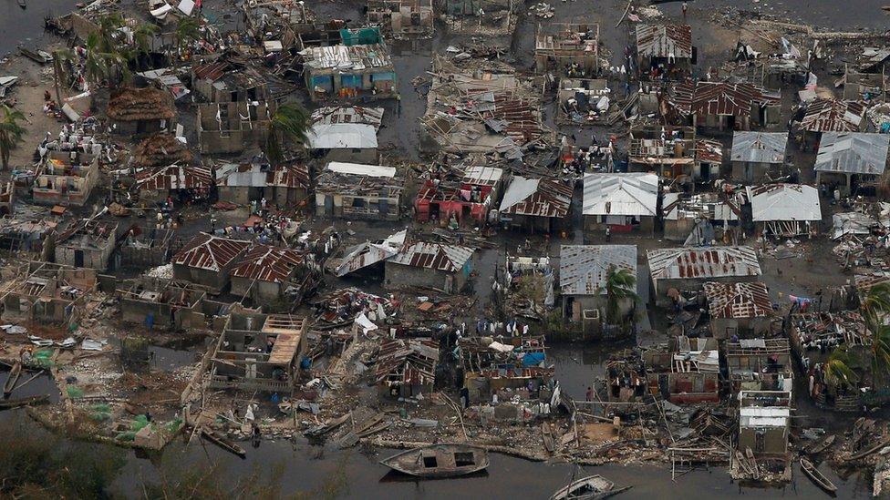
Haiti is still counting the dead and assessing the damage caused by Hurricane Matthew, the most powerful Caribbean storm in a decade. The most affected areas include the western end of Tiburon peninsula, including Corail.
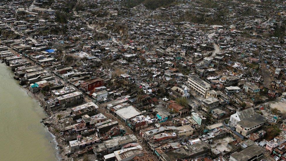
In Jeremie, 80% of the buildings have been flattened.
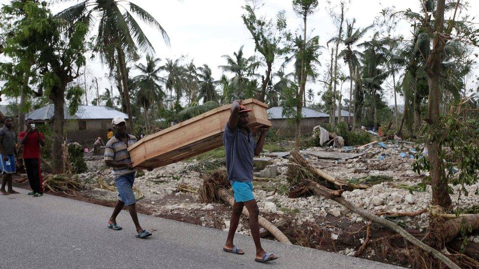
The full extent of the destruction is slowly becoming clear as officials get access to the hardest-hit areas.
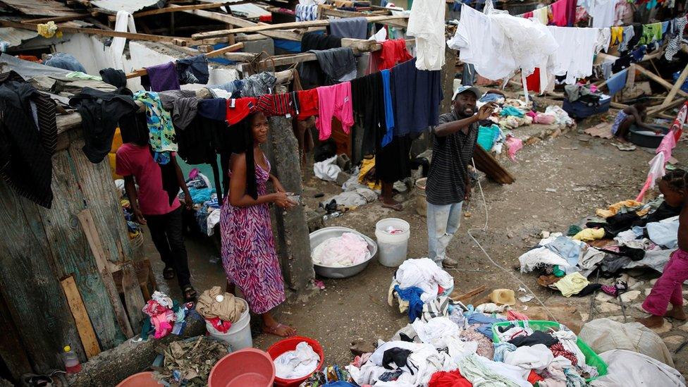
Clean-up efforts have begun in many areas.
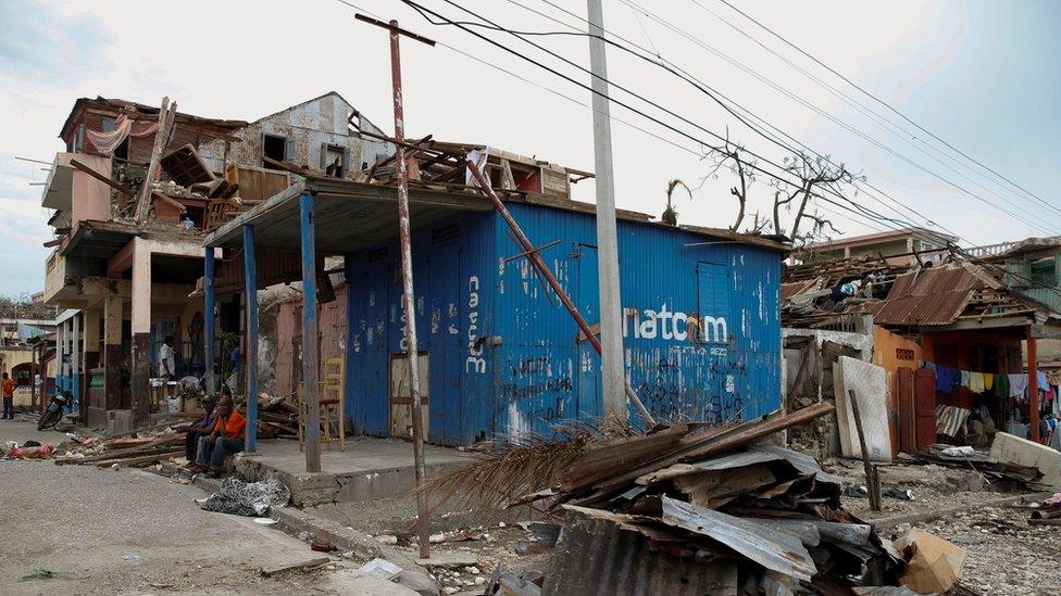
Residents have complained of lack of food and clean water.
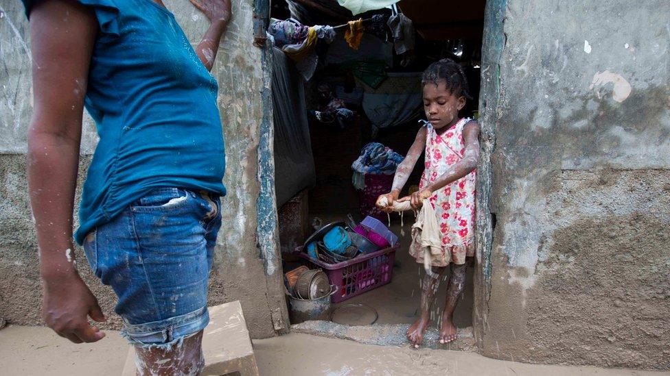
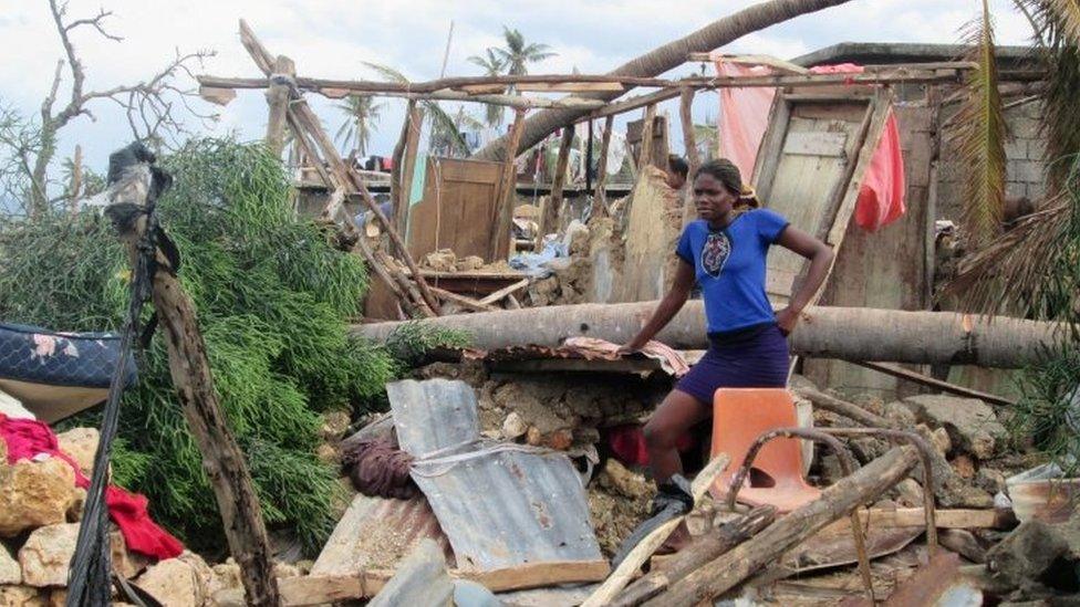
Floods and mud enveloped houses in Les Cayes, in southern Haiti. Houses were destroyed by falling trees.
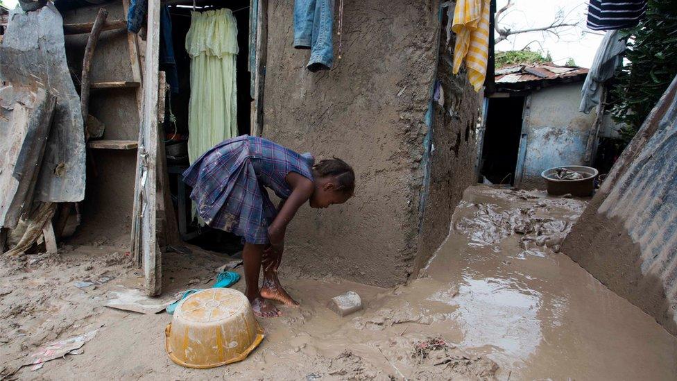
Officials say they are concerned about the possibility of a cholera surge because flooding was likely to contaminate water supplies.
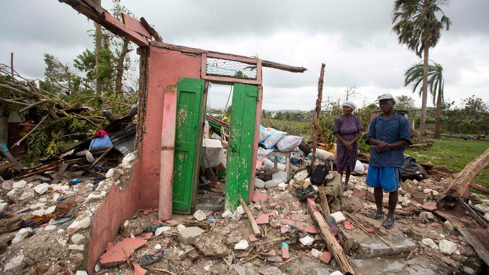
Saintanor Dutervil stands with his wife in the ruins of their home destroyed in Les Cayes. Many people have gone to government-run shelters.
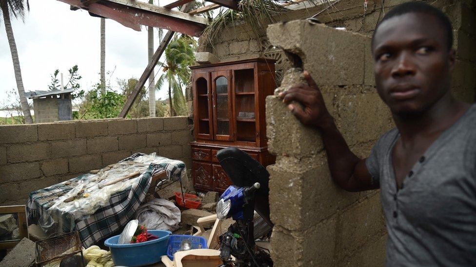
Poverty and precarious living conditions for many of its citizens make Haiti particularly vulnerable.
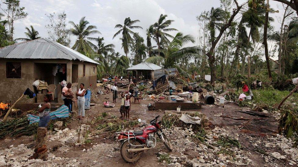
Matthew hit Haiti with winds of 230 km/h (145 mph).
- Published7 October 2016
- Published4 October 2016
