Satellite images of Peru floods show devastation
- Published

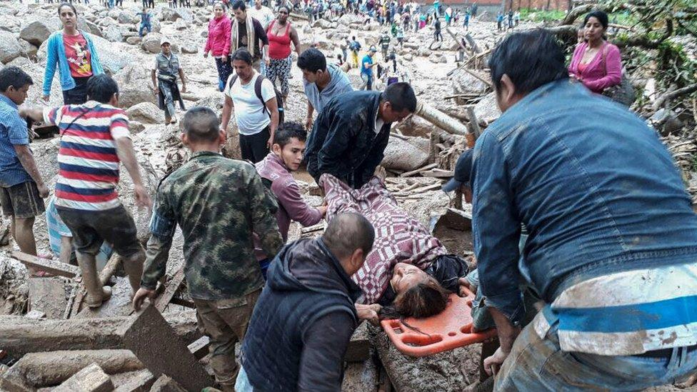
The aftermath of a mudslide and floods in Trujillo, northern Peru
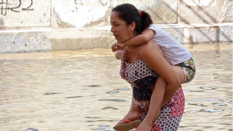
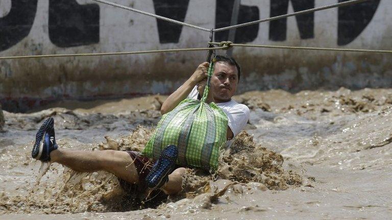
A series of devastating floods in Peru have left 100 dead and tens of thousands homeless since the start of the year.
Entire roads and bridges have been swept away, towns have been engulfed and farmland has been turned to muddy swamp.
It has led to more than 800 towns and cities declaring states of emergency, and brought about a rise in the price of food. Police have been deployed to keep law and order in flood-ravaged areas.
Now, this series of satellite images - collected by the Amazon Monitoring Project (MAAP), involving the conservation groups ACA and ACCA Peru - show how the rising water changed the landscape in the north-west of the country between January and March.

This map shows a preliminary estimate of the flooded areas (in red) along the northern coast of Peru

These pictures show the rapid formation of temporary lagoons in the Piura region. The red spots show the same places on each map

These pictures show the La Leche River bursting its banks, with the Pan-American highway highlighted in yellow

A wider shot of the area shows the difference in water levels in the Lambayeque region between January and March

The picture shows how the Reque river bursting its banks has affected farmland and towns in the area
Pictures courtesy of MAAP, a joint project between Amazon Conservation Association and Conservación Amazónica- ACCA Peru, external. Original satellite images courtesy of European Space Agency, NASA/USGS and Planet.
- Published28 March 2017
- Published18 March 2017
- Published29 October 2015
- Published2 April 2017