Tropical Storm Barry: Trump approves Louisiana state of emergency
- Published
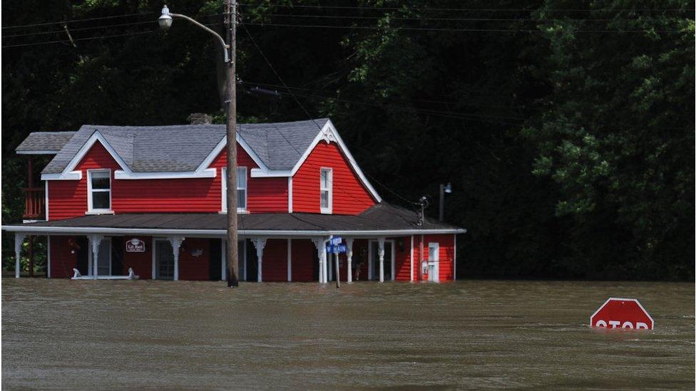
New Orleans has already been hit by flooding
US President Donald Trump has declared a state of emergency in Louisiana as a growing tropical storm nears landfall.
Storm Barry has been gathering speed over the Gulf of Mexico in recent days.
Officials say sustained wind speeds have grown to 65mph (104km/h) and may reach hurricane strength by the time it makes landfall.
It is expected to bring a storm surge and heavy rainfall to the city of New Orleans - which has already seen thunderstorms and flash floods.
The National Weather Service warned that flooding from the storm poses a major risk.
"The slow movement of Barry will result in a long duration of heavy rainfall and flood threat along the central Gulf Coast, across portions of the Mississippi Valley and north into the Tennessee Valley," it explained. "Flash flooding and river flooding will become increasingly likely, some of which may be life-threatening".
The president's declaration frees up wide-ranging federal resources which can be used to help in the emergency situation.
Barry will test flood defences improved after Hurricane Katrina in 2005 left much of New Orleans underwater.
What is the latest with the storm?
The National Weather Service (NWS) say the storm is continuing to crawl at speeds of 3mph towards Louisiana.
Forecasters believe it will make landfall early on Saturday morning, local time, before weakening over the Lower Mississippi Valley later this weekend.
If sustained winds from the storm exceed 74mph, Storm Barry will be declared a hurricane and become the first of the 2019 Atlantic season.
How is Louisiana preparing?
Officials have ordered thousands of residents in some low-lying areas to evacuate.
Mayor of New Orleans, LaToya Cantrell, has not issued a city-wide evacuation order because it is not a category three hurricane or above.

Forecasters are warning about the potential of "life-threatening flooding"
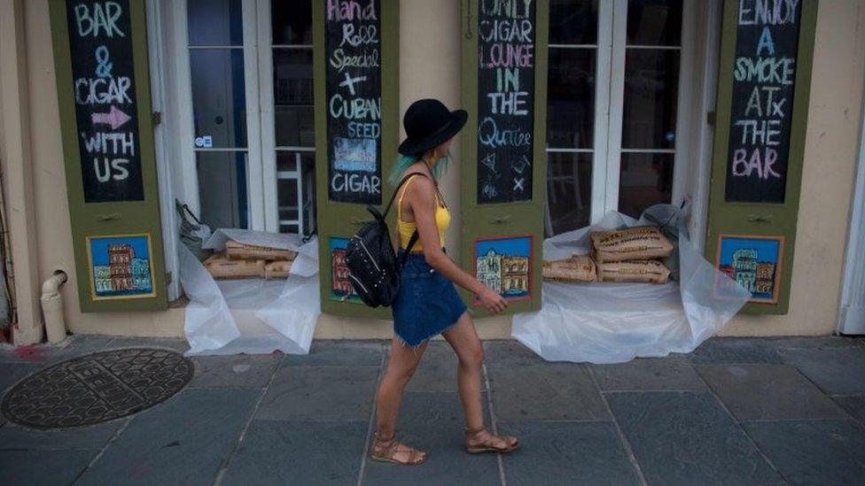
Residents have been warned to prepare for the storm, by stocking up on drinking water and non-perishable food, as well as other emergency supplies.
President Trump's declaration, made in advance of landfall, will make Federal Emergency Management Agency (FEMA) resources available.
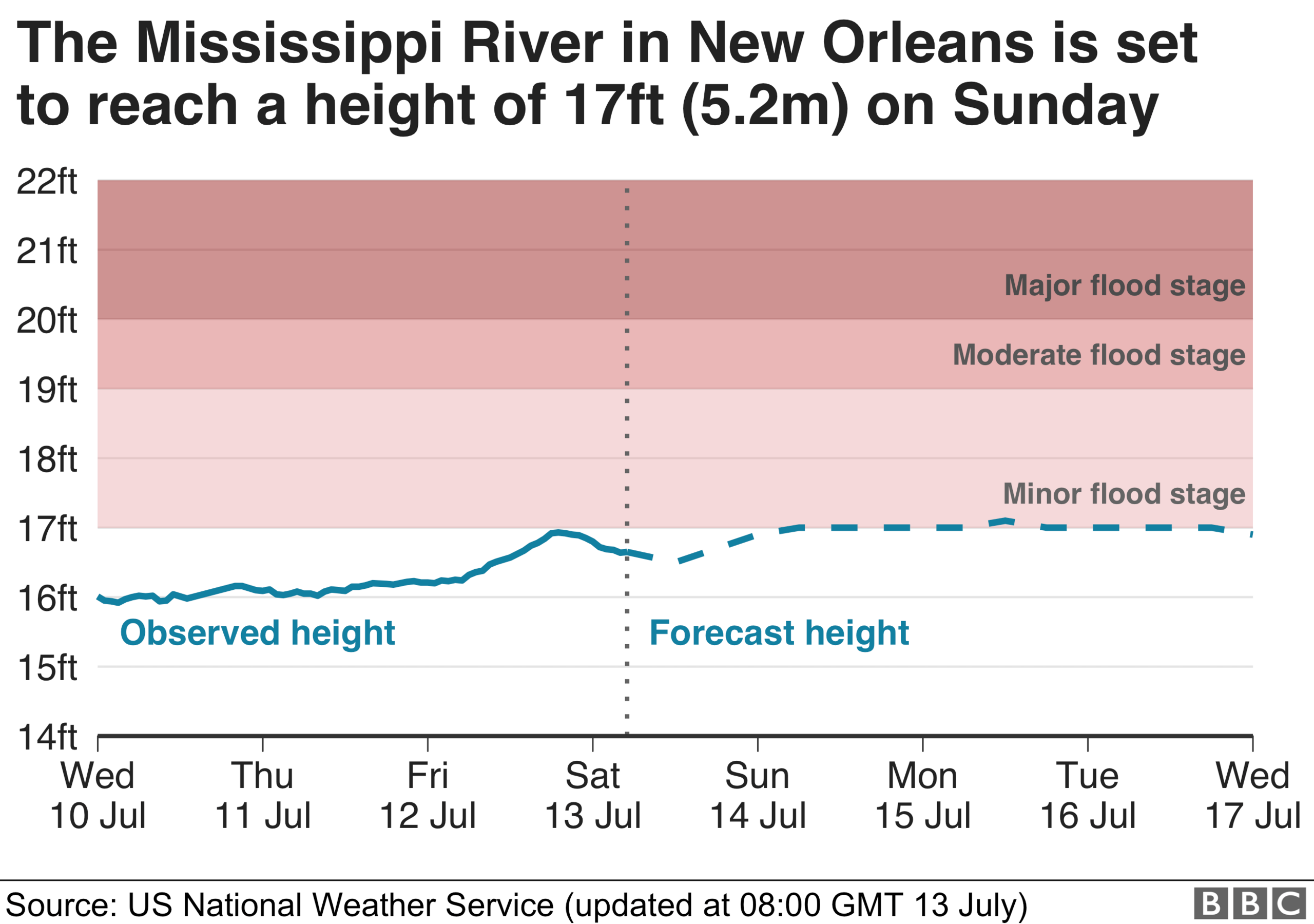
The NWS said on Friday that the Mississippi River was expected to crest in New Orleans at about of 17.1ft (5.2m).
The US Army Corps of Engineers has maintained it is "extremely confident" in the 20-25ft levee system shielding New Orleans.


Governor John Bel Edwards described the incoming storm as "very severe" - citing National Hurricane Centre (NHC) warnings flooding could be "life-threatening".
"This is going to be a major rain event across a huge portion of Louisiana," he said on Thursday.
"Look, there are three ways that Louisiana floods: storm surge, high rivers and rain. We're going to have all three."
Mayor Cantrell has said the New Orleans's anti-flood water pumps are working at "optimal capacity" as the storm nears, but warned it will not be enough.
She, and other city officials, asked people to bring in their rubbish bins and clear gardens and streets in order to prevent debris from choking street drains and gutters or becoming airborne "projectiles".


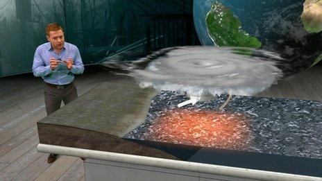
While there is no definitive link between climate change and Storm Barry, rising temperatures are increasingly a factor in making the impact of events like this more intense.
As the air has warmed over recent decades it is now able to hold much more moisture, meaning tropical storms are pre-loaded with large amounts of rain.
The warming world is also making these storms more sluggish. Over the past seven decades tropical events like Barry have slowed down, going 20-30% less quickly over land in North America.
This is what happened with Hurricane Harvey in 2017, when it weakened to a tropical storm and then stalled for days over the Houston area dumping enormous quantities of rainwater which cost lives and did huge damage.
Sea levels have also increased as a result of global heating, so if winds are blowing towards shore, this makes flooding much more likely during high tides.
- Attribution
- Published1 October 2016

- Published11 June 2019
