What is the Pineapple Express and why has it drenched California?
- Published
Ben Rich explains how an atmospheric river forms
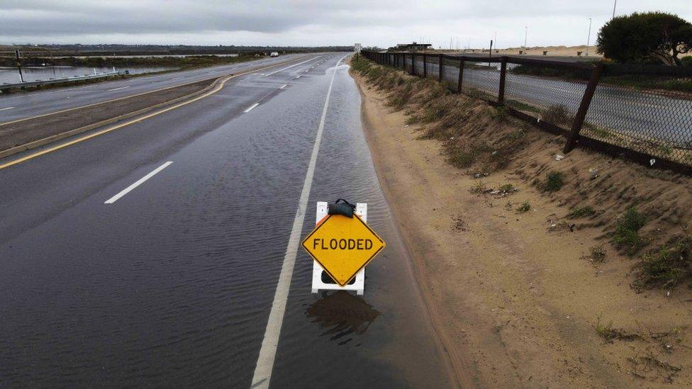
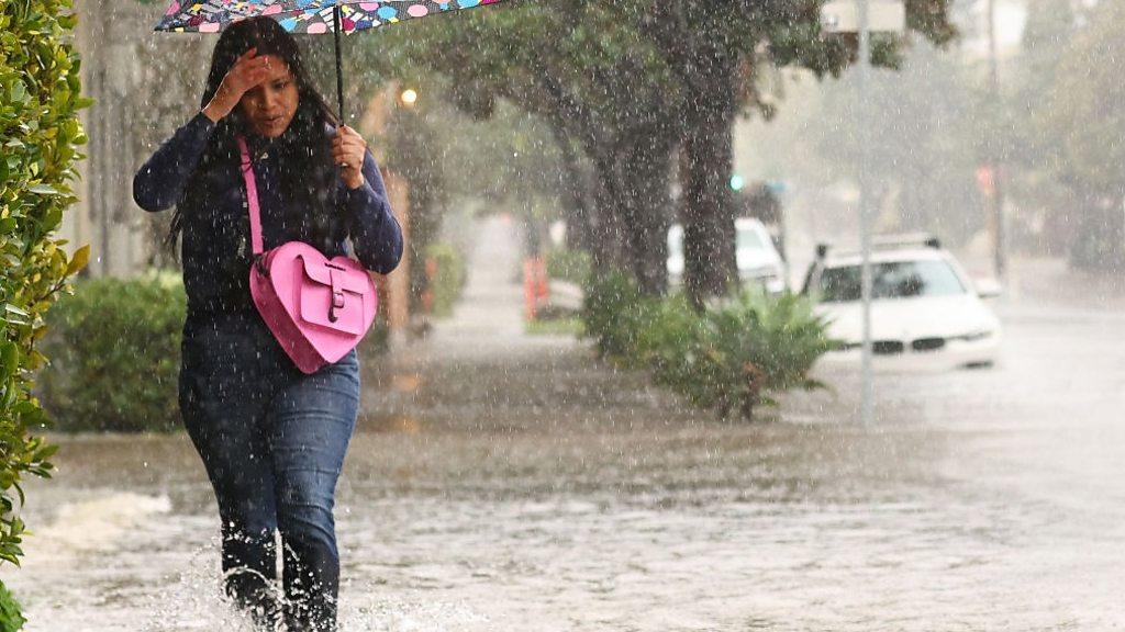
California has been drenched with rain from two separate "atmospheric rivers" in recent days. The heavy rainfall has caused mudslides and flooding, but what's behind the weather pattern?
The Pineapple Express is a name given to an atmospheric river that is a common feature for the west coast of the US and Canada.
It derives its name from the warm moist air that gets entrained into the system, that initially starts off near Hawaii - a place famed for growing pineapples.
Hawaii is also well known for growing Macadamia nuts - but the Macadamia nut express just doesn't have quite the same ring to it.
Atmospheric rivers are very long conveyors of moisture that can stretch for well over 2,000 miles (3,220 km) , but are just a few hundred miles wide.
They are often found just ahead of cold fronts within normal mid-latitude area of low pressure. Moist air travelling within the conveyor belt rises upwards and thereby cools to make rainclouds.
Atmospheric rivers can be very beneficial. It's thought that they contribute 50% of California's annual rain and snowfall.
Strong atmospheric river events are more dangerous, though, and can lead to severe flooding and landslides. They can cause billions of dollars of damage.
This could be the result of an atmospheric river stalling over the same location, bringing prolonged heavy rain. Alternatively, an atmospheric river forced to rise more quickly over a mountain rage would give a stronger event.
Finally, stronger winds or more extreme levels of moisture within a system could also give a more hazardous event.
There are several atmospheric rivers around the planet on any given day, the majority are benign and aren't named.
Watch: 'Abnormal is normal here in California'
The UK can get extreme rainfall from atmospheric rivers. The Cumbria flood of 2009 is a good example, in which a UK record amount of rain fell, with 316.4mm (12.5in) in just 24hrs at Seathwaite in Borrowdale.
This latest Pineapple Express has been a very strong event for California, partly because of the length of time this atmospheric river has stalled over an incredibly highly populated area.
Los Angeles received 203mm of rain during Sunday and Monday, which is over half of LA's 362mm annual average rainfall.
The surrounding hills have had over 300mm of rain in the last 48hrs. This extreme rain, falling over a short period of time, has resulted in flooding and landslides. The atmospheric river will move away from California during Tuesday with showers following.
Recent studies by the National Oceanic and Atmospheric Administration, or NOAA, suggests that climate change is likely to increase lower-elevation rainfall from atmospheric rivers across much of the western US in the decades to come.
In a warmer world, more moisture is able to evaporate from the oceans into the atmosphere and this could make atmospheric rivers longer, wider and potentially more dangerous.
Related topics
- Published5 February 2024

- Published5 February 2024

- Published13 March 2023
