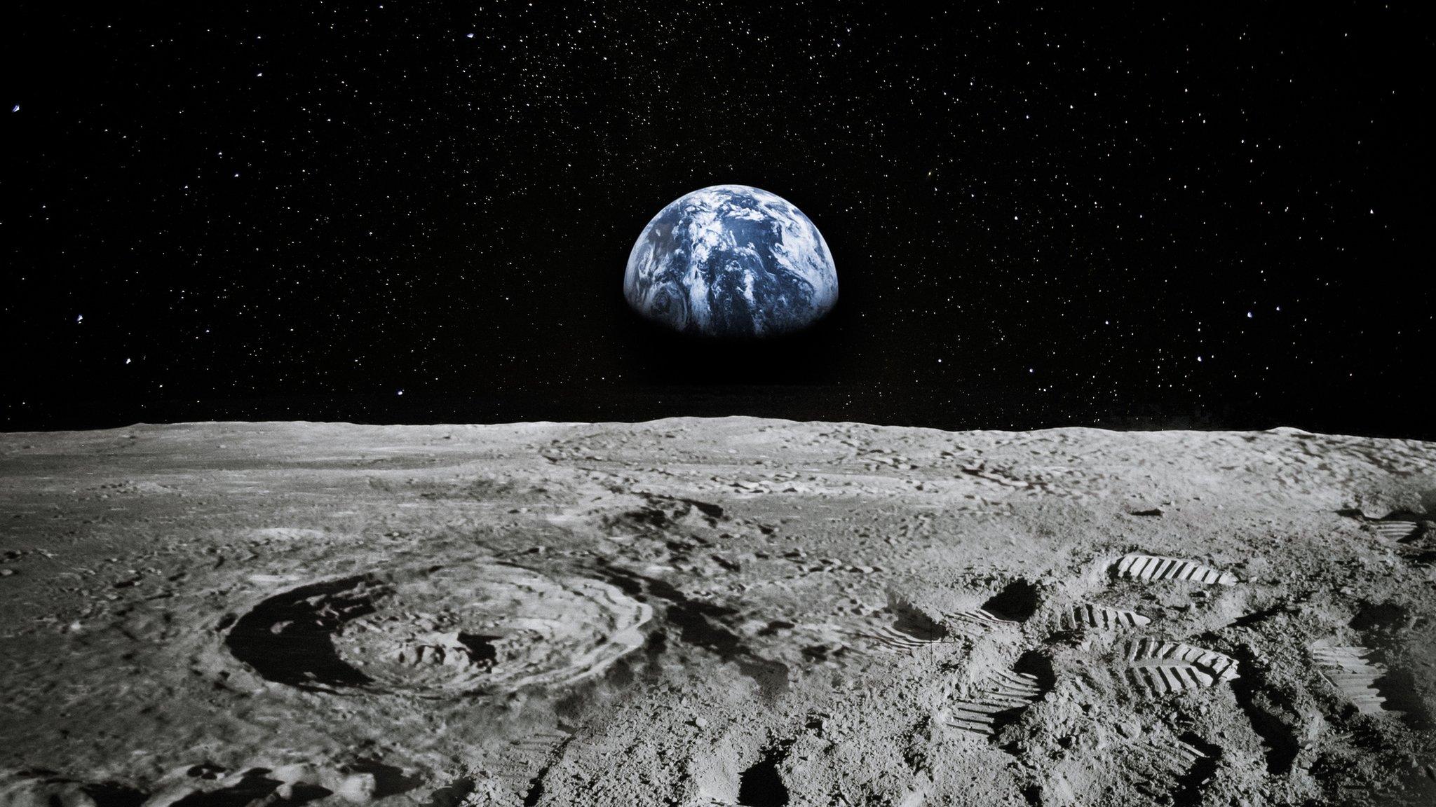
Moon: New colourful map reveals surface in amazing detail
- Published
- comments

Check out this amazing map of the Moon's surface!
This colourful new map shows the surface of the Moon in brilliant detail, thanks to a clever process where several different sources of information are mixed together.
These pictures include information from six maps made during the 2013 Apollo space mission, data from the Lunar Reconnaissance Orbiter Camera, and information from the the Lunar Orbiter Laser Altimeter. It was all put together by the United States Geological Survey (USGS)
The colours on the map represent different geological areas on the Moon, such as the different types of rock, and how old they are.

For example the yellow areas represent the Copernican craters - which are around a billion years old!
This is a 1:5,000,000 scale map, which means that one millimetre on the map represents five kilometres on the Moon.
Scientists hope this map will be very useful for upcoming Moon missions, including one where Nasa hope to have astronauts living on the Moon.
The map isn't the final version, and will continue to be updated as more information is sent back.
"This map is a culmination of a decades-long project," said Corey Fortezzo, a geologist at USGS.
"It provides vital information for new scientific studies by connecting the exploration of specific sites on the moon with the rest of the lunar surface."
- Published7 March 2018
- Published16 February 2020
- Published6 January 2020