
Clever new satellite able to 'look through' forests and icebergs
Watch the ESA Biomass mission launch on Tuesday 29 April
- Published
A satellite with a special job has blasted into space and, if all goes well, is about to start its important mission.
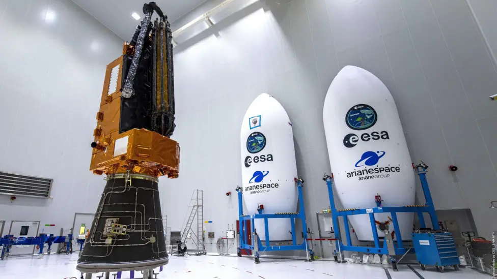
The Biomass satellite, created by the European Space Agency (ESA) has a very powerful radar which will be able to see through forests, land ice and even deserts to give scientists a better understanding of climate change around the world.
The satellite launched on a Vega-C rocket on Tuesday from ESA's Kourou station in French Guiana in South America.
Bjorn Rommen, who is a mission scientist at ESA said it was a "spectacular launch".
"A lot of people from the science team have been waiting for this for years. And of course now waiting for more spectacular things to come after the launch".
More space news
- Published7 April
- Published7 October 2024
- Published26 April
What will the Biomass Satellite do?
Watch Biomass satellite unfurl
The huge umbrella-shaped satellite will open out to around 12 metres in diameter.
It will orbit Earth and its powerful radar will be able to look down on large areas of forests, and amazingly look beyond the tops of the trees and into the forest below, even picking out tree trunks, branches and the forest floor.
The aim is for the satellite to "weigh" the Earth's forests, revealing how much planet-warming carbon is being stored within trees and therefore kept out of the atmosphere.
This has never been achieved before so the ESA are at the forefront of climate science, helping to more accurately study climate change and track rates of deforestation.
If everything goes well, the team hopes to produce the first maps within six months, and will then continue to gather data for the next five years.
Bjorn Rommen said the team will mostly be looking at tropical rainforests because they are "the biggest unknown and that is where there is a lot of change happening," but they have interests elsewhere too.
"Biomass will also be looking at land ice in the Antarctic and how it is moving. It will be able to look deeper into the ice than other satellites due to it running at a higher frequency and its ability to go further that others before it", he added.
They will also look at deserts, with a focus on looking at where rivers would have previously flowed but have since dried up to give clues about ancient civilisations that lived there before they were deserts.