Millions affected by Storm Éowyn

- Published
Clean up operations are underway across the UK and Ireland as Storm Éowyn brought strong winds of up to 114 miles per hour.
The Met Office have said it was "probably the strongest storm" to hit the UK in at least 10 years, after around one million properties were left without electricity.
Roads and rail lines have also been left blocked by uprooted trees, broken branches and other debris.
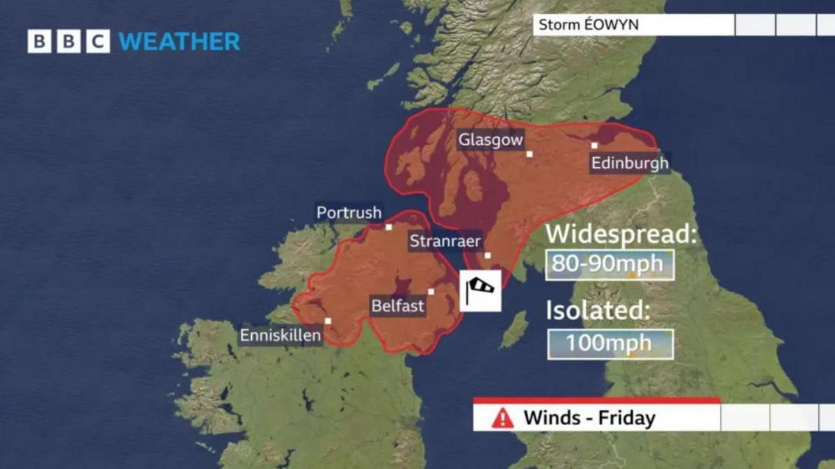
A rare red weather warning was in place for Northern Ireland and many parts of Scotland, but that has now passed.
While the worst of the gusts are now over, strong winds are expected to continue, and parts of England and Wales could receive up to 8cm of rainfall over the weekend.
Yellow warnings for rain, wind, snow, and ice are in place across parts of the UK, while flood warnings and alerts are in place in southern England, north Wales, and west Scotland.
What is a weather warning?
- Published15 November 2023
Why do storms have names?
- Published21 October 2024
The Big Question: How do we predict the weather? Video, 00:01:50
- Published14 December 2017
What happened with schools during the storm?
How Storm Éowyn is affecting kids
All schools in Northern Ireland were closed on Friday after Education Minister advised them not to open, instead to focus on "remote learning so that pupils can study at home."
In Scotland, schools were closed in Aberdeenshire, Argyll and Bute, the Western Isles, Angus, Clackmannashire, Dundee, Falkirk, Fife, Perth and Kinross, Stirling, Edinburgh, East Lothian, Midlothian, West Lothian, East Ayrshire, East Dunbartonshire, East Renfrewshire, Glasgow, Inverclyde, North Ayrshire, North Lanarkshire, Renfrewshire, South Ayrshire, South Lanarkshire, West Dunbartonshire, Dumfries and Galloway, and the Scottish Borders.
In the Highlands, decisions were left to schools themselves, meanwhile schools were expected to be open in Moray, Orkney, Shetland, and Aberdeen City.
In Wales, more than 30 schools on Anglesey and two in Gwynedd were closed on Friday.
There were 30 schools closed in Northumberland and Cumberland in the north of England.
Phone alert issued to millions of people
Watch as emergency alert sounds on phones ahead of the approaching Storm Éowyn
On Thursday evening, an emergency phone alert was sent to millions of people in Scotland to warn them about the storm.
People with compatible mobile phones living in the 22 council areas of the country expected to be worst hit by the storm received the alert at approximately 6pm.
Phones made a loud siren-like sound and vibrated for around 10 seconds – even if they were on silent.
What is Storm Éowyn?

Storm Éowyn – pronounced "Ay-oh-win" - is the first named storm of 2025.
It is the fifth named storm of the 2024-25 season, which began in October last year.
On Friday morning it arrived arrived in Northern Ireland and the whole country currently has a red warning for wind in place until 2pm on Friday.
Public buildings are also closed on Friday, hospitals are cancelling some appointments and supermarkets Lidl and Tesco have closed their shops.
In the Republic of Ireland more than 715,000 properties are without power because of damage to power supplies by the high winds.

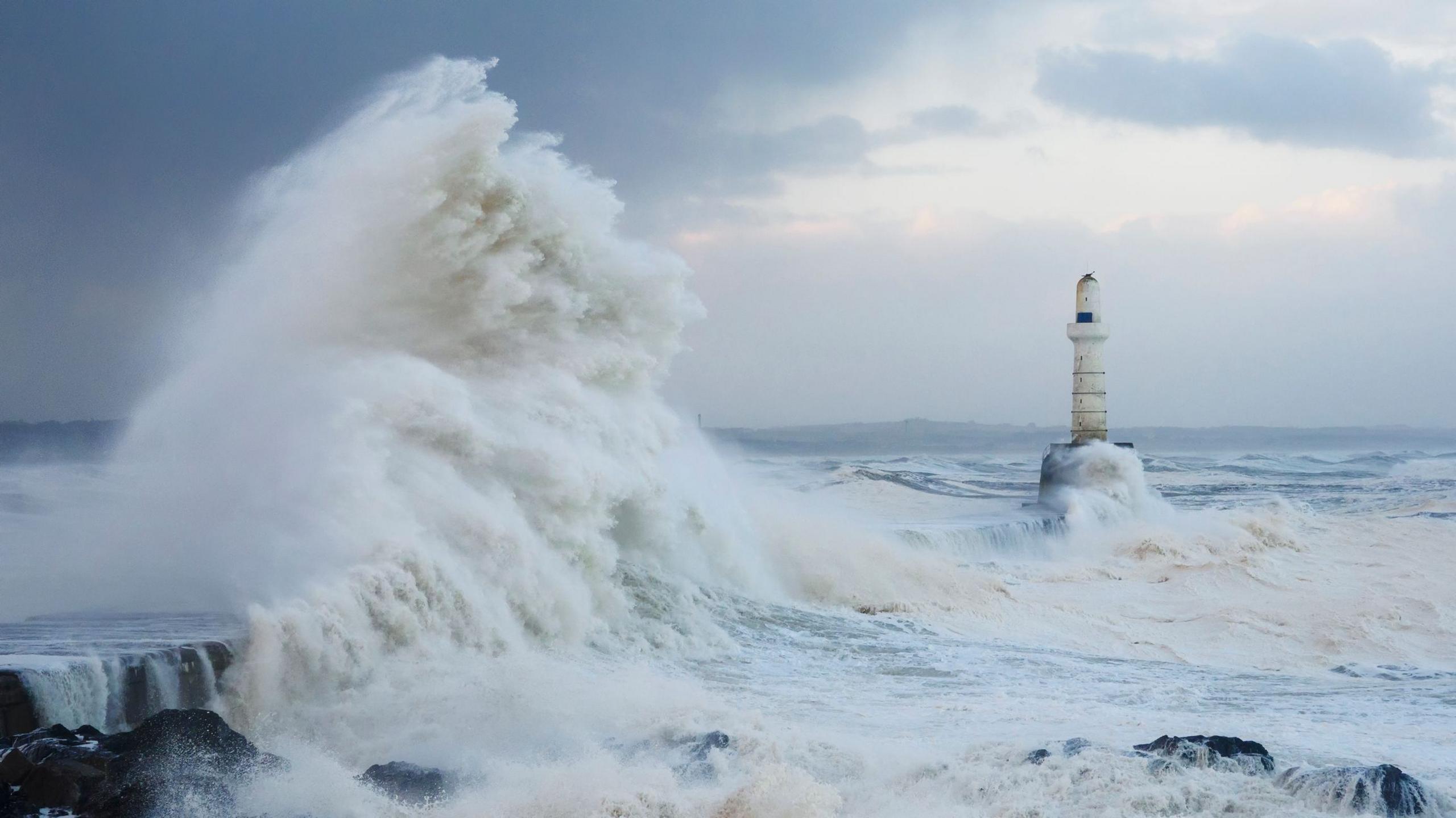
Coastal areas of Scotland are affected by the wind too
The Met Office warns people should avoid travelling where possible.
There have been big disruptions to travel with flights, trains and ferries cancelled and roads blocked by fallen trees.
More than 1,000 flights operating in and out of UK airports and Ireland have been cancelled today, according to data from aviation analytics company Cirium.
Airports in Dublin, Edinburgh, Heathrow and Glasgow were the worst affected by Storm Éowyn, the data found.
