Snow, rain and wind warnings for Storm Kathleen

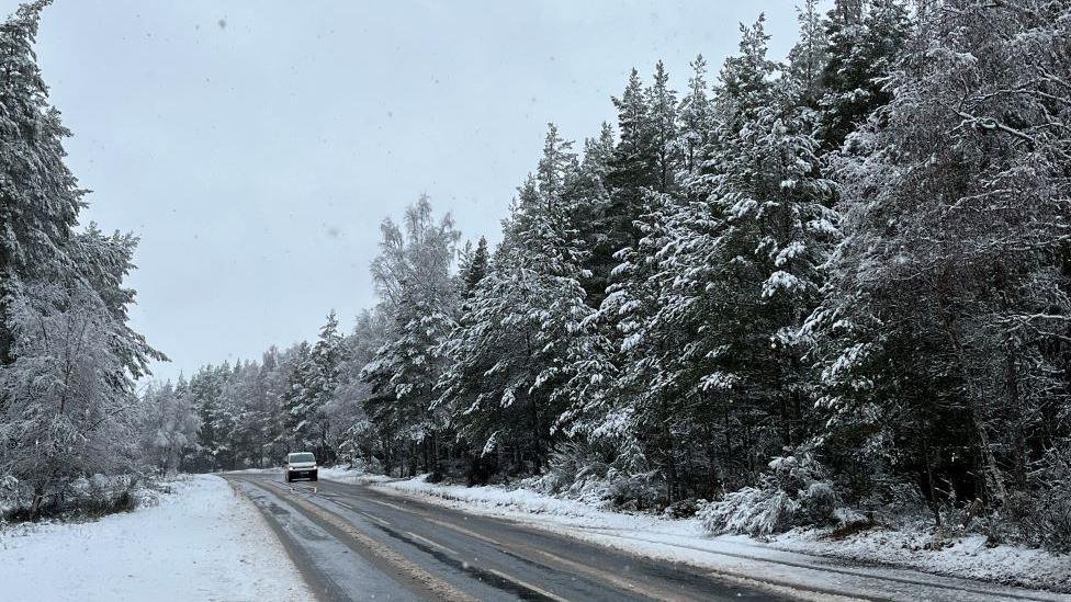
There was snow on the A9 near Carrbridge in the Highlands on Friday
- Published
Snow, rain and strong winds have started to hit Scotland with two days of disruption expected as Storm Kathleen arrives in the UK.
It is the 11th storm to be named in the 2023-24 season, making it the joint stormiest period since storm naming began in 2015.
The Met Office has issued three weather warnings for various times across Friday and Saturday.
Around coastal parts of the UK, wind gusts of up to 70mph (113kmh) are expected.
Storm Kathleen: How do new storms get their names?
- Published5 April 2024
UK weather: Why has it been so stormy this year?
- Published23 January 2024
Met Office forecasters warned "stronger gusts" than anticipated are expected and the likelihood of the gusting wind has increased.
Members of the public have been urged to prepare for flooding, travel disruption and possible power cuts.
ScotRail services from Glasgow and Edinburgh via Shotts were cancelled on Friday morning because of flooding.
A snow warning ran from 03:00 until 09:00 on Friday covering parts of the central belt, Tayside, Fife, Aberdeenshire, Moray and parts of the Highlands, with up to 10cm of snowfall forecast over higher ground.
Forecasters had also warned of travel disruption due to snow, particularly on higher routes.
What's the weather looking like this weekend?
A yellow warning for rain was in place for roughly the same time period, stretching across the central belt, Tayside and Fife.
The Met Office said it was likely to be "15-25mm of rain, much of this falling in around six hours with a few locations seeing up to 35mm overnight".
It warned there was a chance of flooding to a few homes and businesses.
Spray and flooding on roads could bring travel disruption for commuters.

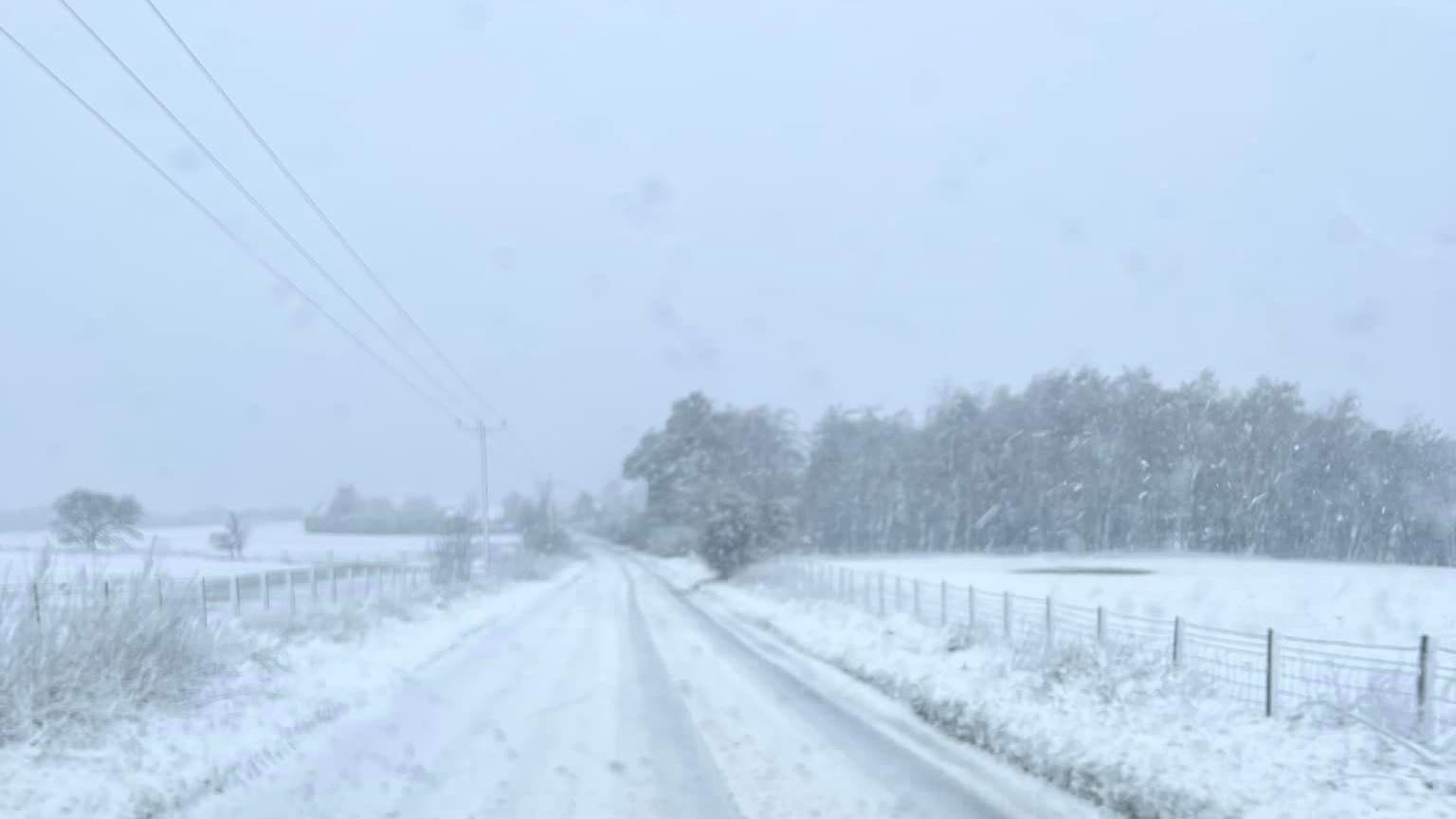
It was a snowy start to Friday near New Gilston in Fife
On Saturday, Storm Kathleen will arrive. It will bring with it a yellow warning for wind from 08:00 until 22:00, which covers Northern Ireland, southern and central parts of Scotland and western parts of England and Wales.
A deep area of low pressure will bring very windy weather, which the Met Office said could cause longer - or potentially cancelled journeys - as road, rail, air and ferry services will be affected.
They said there is a small chance roads and bridges could be closed or restricted.
A number of travel operators, including Network Rail and CalMac ferries, have warned of possible disruption and advised people to use social media to stay up to date with services.

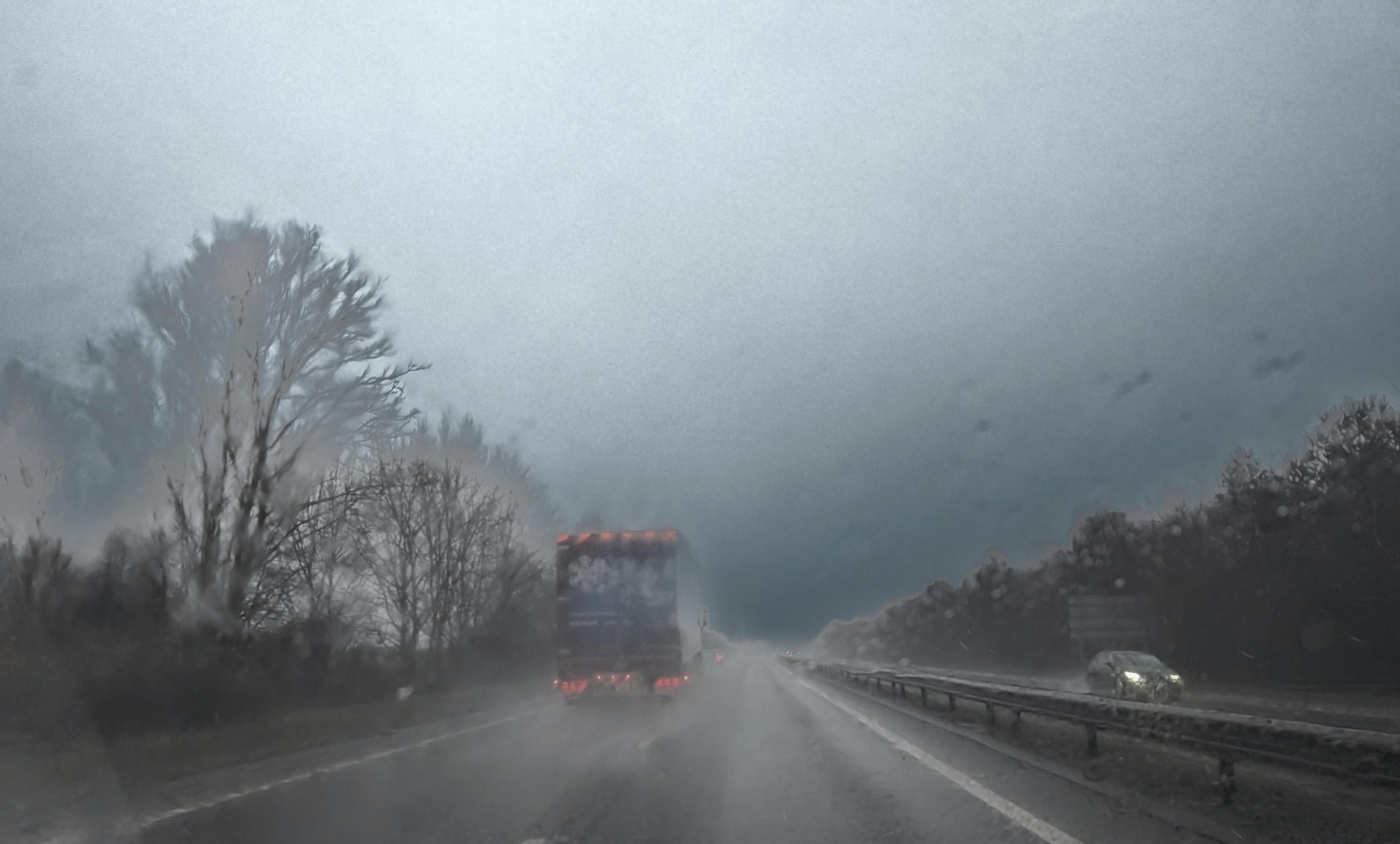
Journeys could be affected by the rainy conditions, forecasters have warned
In coastal areas in the north and west of Scotland and England, large waves and beach material being thrown onto sea fronts, roads and properties could also present a danger to life, the Met Office warned.
The forecaster also said there could be power cuts, which could have an impact on other services such as mobile phone coverage.
Met Office meteorologist Greg Dewhurst said: "Winds will pick up further through Friday evening, overnight into Saturday, where as we start Saturday morning we'll see widely across the country gusts of 30-40mph.
"In western parts of the UK, inland, we could see gusts of 40 to 50mph and then around the western coast of the UK we could see gusts of 60-70mph."

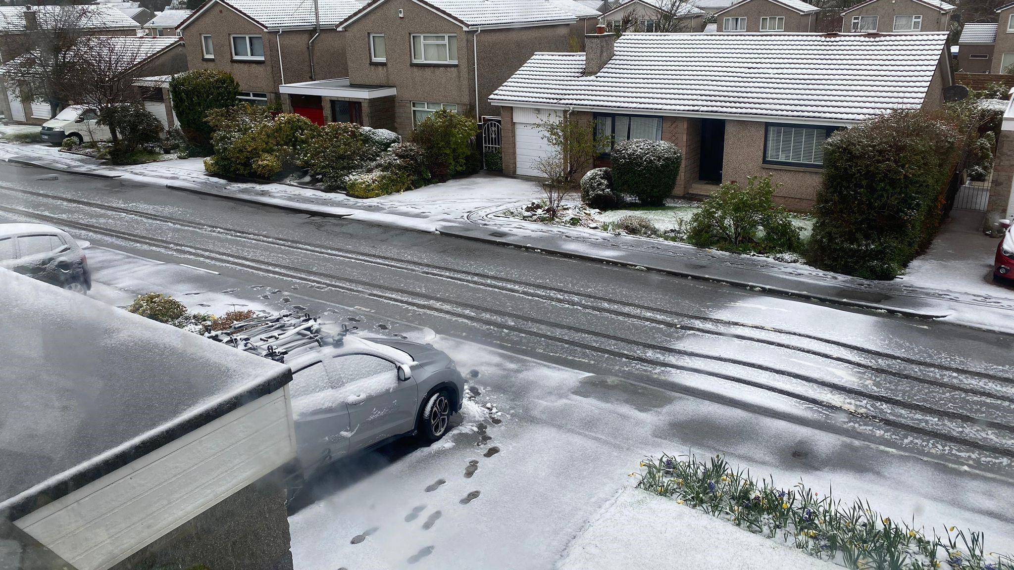
Balerno in Edinburgh also saw a blanket of snow on Friday morning
This will be the second time a UK named storm has reached the letter K in the alphabet, following Storm Katie in March 2016.
No storm season has ever gone beyond the letter K.
Spring or April storms are uncommon. Since 2015 there has only been one UK named storm in April - Storm Hannah in 2019.