The green belt: Is it under threat?

- Published
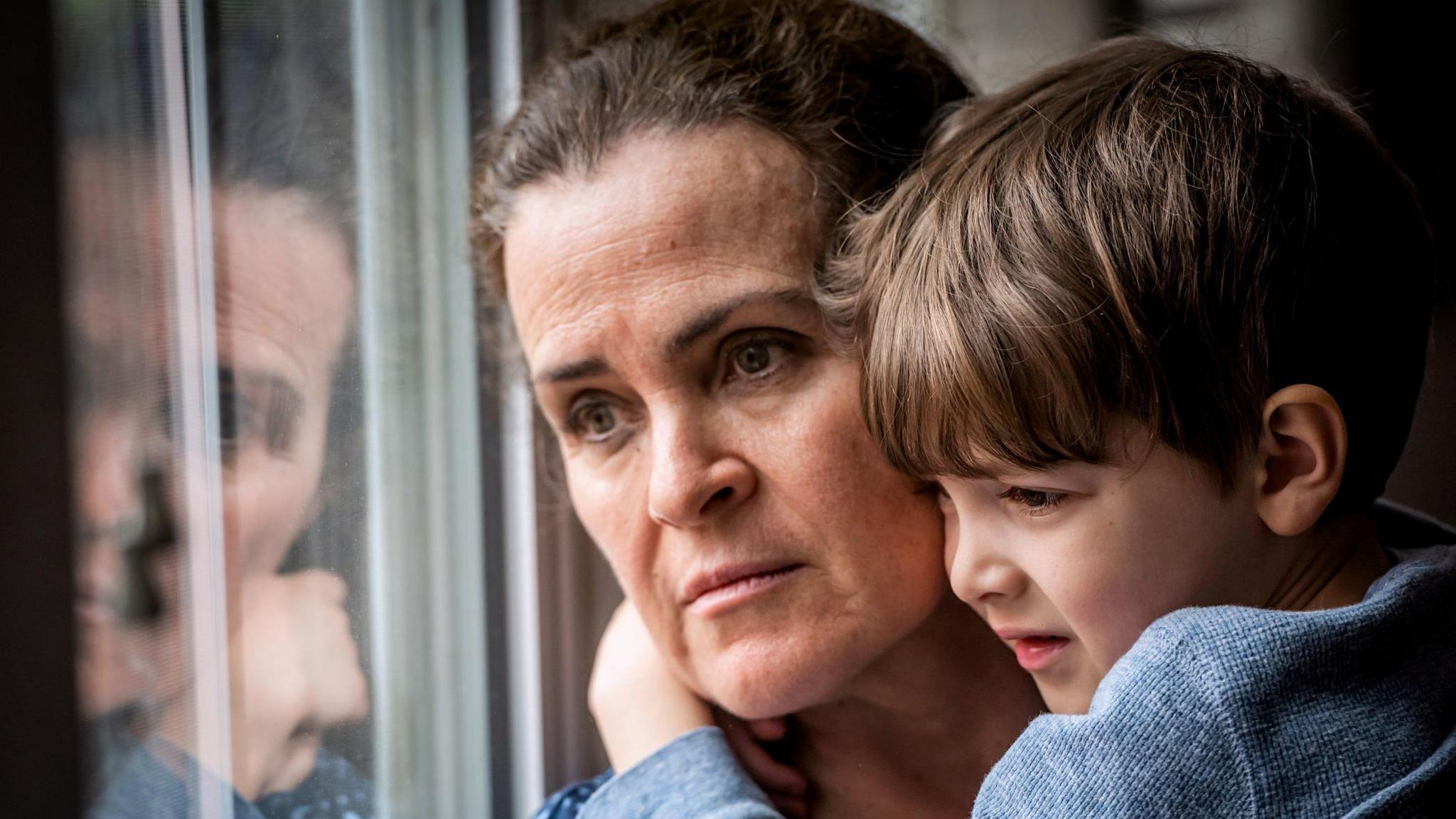
A community is fighting to prevent a developer from building 800 homes on protected farmland.
The Albrighton Village Action Group in Shropshire is using the land's green belt status as part of its campaign to object to the development.
An Ipsos poll has suggested few of us know what green belt land is, external, despite most people strongly agreeing it needs protecting.
Here are five things to know about Shropshire's green belt.
Why does Shropshire have a green belt?
A green belt is an area of land protected from most forms of development.
Shropshire's green belt was introduced in 1975 to prevent the expansion of the West Midlands conurbation into the surrounding countryside.
It is part of the wider West Midlands Green Belt, which forms a ring around the large urban towns and cities of Birmingham, Wolverhampton, the Black Country, Coventry and Solihull and is the second largest green belt in the country consisting of 900 square miles.
Where is it?
The green belt is 8% of the total area of Shropshire, located in the south east of the county, bordering Staffordshire and Worcestershire.
It's northern edge is the A5, north of Shifnal, while its western border is the River Severn.
The green belt wraps around villages including Albrighton, Alveley, Beckbury, Claverley and Worfield, as well as the town of Shifnal.
It also includes RAF Cosford.

All land to the west of the River Severn is outside of the green belt
Who protects it?
It is for local planning authorities to define and maintain green belt land in their areas, so in Shropshire that falls to Shropshire Council.
However, policy is set by government as part of its National Planning Policy Framework, which the new Labour government is currently consulting on.
Councils determine whether planning permission is granted or refused, and the level of protection given to green belt land is high and circumstances must be exceptional.
Shropshire Council has not allowed any development on its green belt although it released green belt land next to the air force base under 'exceptional circumstances' to make way for the new Midlands Air Ambulance headquarters, which officially launched in 2023.
More information can be found here.
What green belt areas could be developed?
The council has suggested the release of green belt land the size of almost 100 football pitches in Albrighton, Shifnal, Alveley and Bridgnorth.
The expected high growth over the coming years and the pressure to provide homes and employment land for Black Country authorities were factors, it said.
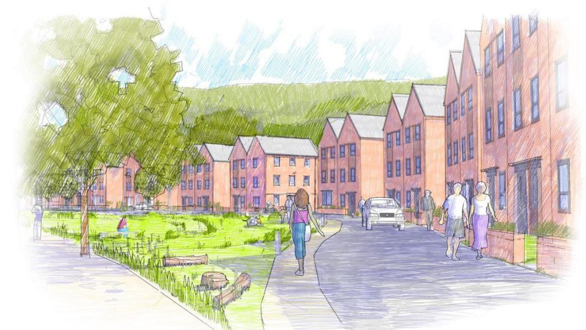
Its Local Plan, external, which outlines its future development strategy, does not include the Boningale Homes site near Albrighton, which has proposed 800 homes, a minor treatment centre, school, supermarket and retail units.
Residents in Tong are also fighting plans to build almost 3,000 homes and a 4 million sq ft tech park on green belt land alongside the M54.
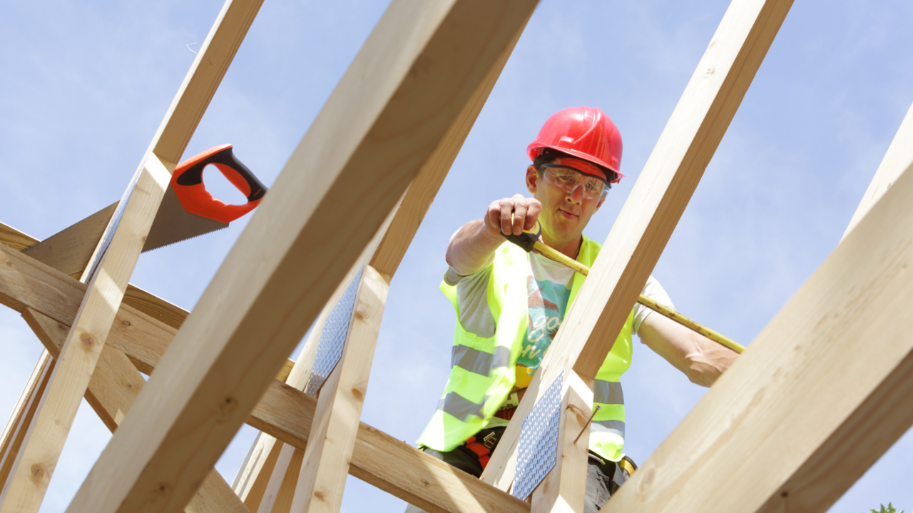
Could new government housing plans impact Shropshire?
The new Labour government is proposing to build 1.5m homes in the next five years.
Under the plans, some low-quality green belt land, such as car parks and old petrol stations, would be identified as 'grey belt' land and potentially built upon if a council's housing targets cannot be met.
The council has raised concern the government's definition of the grey belt may cause unnecessary confusion.
Shropshire's annual housing target could increase by almost 1,000 homes a year, to 2,059 properties.
Get in touch
Tell us which stories we should cover in Shropshire
Follow BBC Shropshire on BBC Sounds, Facebook, external, X, external and Instagram, external.
Related topics
- Published24 September 2024
- Published30 April 2024
- Published20 March 2024