New walking route takes in 'roof of England'

The route is fully marked out on signposts
- Published
A multi-day trail exploring the landscape of the North Pennines has opened to walkers.
The Roof of England Walk - named to reflect its lofty upland location - covers a 301km (188 mile) circular route around the countryside of Cumbria, County Durham and Northumberland.
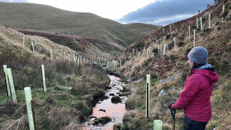
Terrain includes high moorland paths and riverside trails, and important habitats such as hay meadows, blanket bog and ancient woodland.
Described by its creators as challenging, the whole route can be tackled in 14 days, or in short breaks of a few days each, from locations accessible by public transport.
Among the highlights are the High Force and Cauldron Snout waterfalls, lead mining sites at Dukesfield Arches, and Blanchland Abbey.
The Cumbrian sections take in High Cup Gill, and reach the highest point of the North Pennines at Cross Fell.

High Force waterfall is one of the highlights of the route
Chris Woodley-Stewart, director of the North Pennines National Landscape team, said it had worked with partners in the visitor economy and access teams in our local authorities to develop the Roof of England Walk.
"Since the very first Roof of England walking festivals in the 1990s, we have encouraged walkers to explore the high uplands of the North Pennines," he said.
"The name captures the sense of elevation and space offered by a walk through this very special landscape."
Follow BBC North East on X, external and Facebook, external and BBC Cumbria on X, external and Facebook, external and both on Nextdoor and Instagram, external.
Get in touch
Do you have a story suggestion for BBC North East & Cumbria?
- Published15 May