Before and after: How wildfires tore through LA
More than 100,000 people had to be evacuated due to the deadly wildfires
- Published
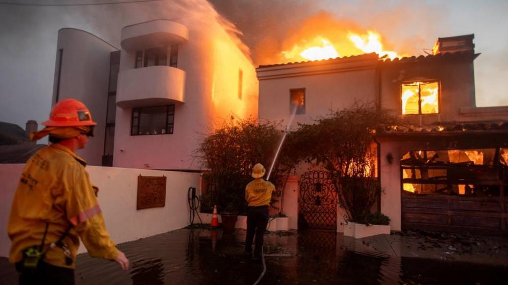
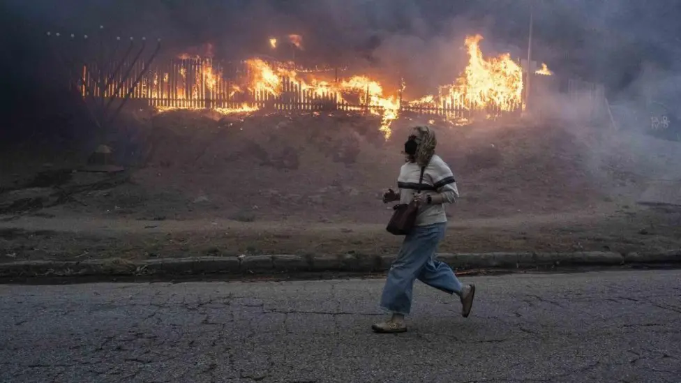
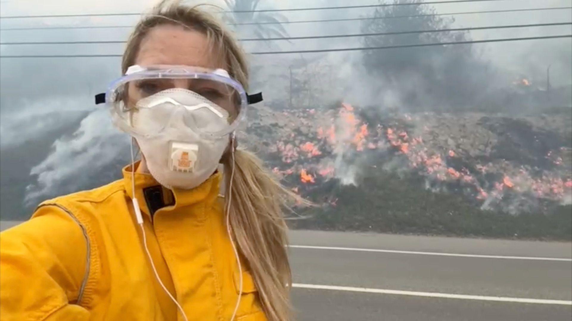
Deadly wildfires have devastated parts of the city of Los Angeles and the wider county, destroying many homes and businesses, as well as schools and places of worship.
Here are some of the most striking images of places seen before and after the wildfires tore through them.
Pacific Palisades
This affluent suburb is among those that have been the hardest hit, with many residents being unable to gather much or anything of value before they were had to flee.
Below are images showing the destruction some businesses have suffered.


The Palisades Charter High School is among landmarks in the Pacific Palisades area to have been damaged in the fires.
The well-known school counts celebrities including Will.i.am and Forest Whitaker among its alumni, and has been a filming location for Hollywood hits including Carrie, Teen Wolf and Freaky Friday.


Pali high school has reportedly suffered significant damage in the fire, which destroyed the homes opposite it
Pacific Coast Highway
Houses that sit along parts of the major state highway have also been hit by the Palisades fire, including in the city of Malibu.
Satellite imagery below shows what the coastline looked like before and after the fires took hold.


Altadena
The Eaton Fire has destroyed hundreds of homes and businesses in Altadena, which lies behind the mountains north of Los Angeles.
Below you can see the damage the fire caused to one home, as well as a wider look at the full extent of the damage the neighbourhood has suffered.

Pasadena
In nearby Pasadena, a Jewish temple was among the buildings lost to the Eaton Fire.
According to its website, the temple's congregation has more than 100 years of history in the area.

Related topics
- Published8 January
- Published15 January