Forgotten street names revealed in map

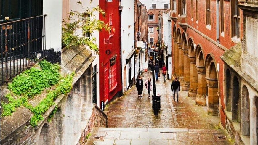
A section of Corn Street was previously called Bank Court
- Published
An interactive map featuring Bristol's long-forgotten street names has been created by historians.
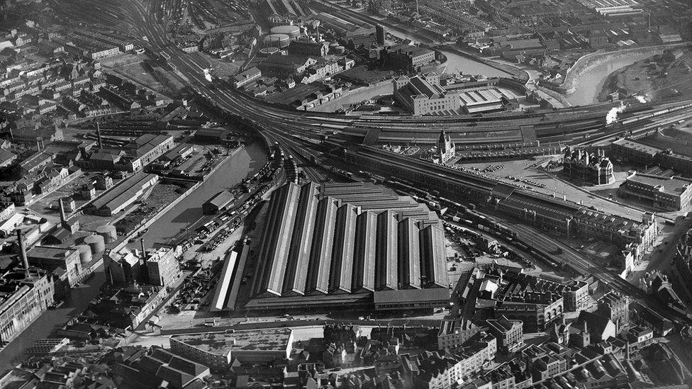
From Cow Street, now the bottom of Park Street, to a Plague Hospital, archivists have spent hundreds of hours recording names that have come close to being lost.
They featured in Know Your Place, launched by Bristol City Council and the University of Bristol. While the map was first created in 2011, the old street name section has only been added this year.
Dr Evan Jones, associate professor in economic history, said: "They [maps] are a great research tool and are also equally accessible to people without skills or training."
The ‘lost’ Bristol street names revealed.
A forgotten building called the Blind Asylum and a road once known as Duck Lane are just some of the names rediscovered as part of the map which includes prehistoric sites and landscapes in Bristol.
Bristol's Blind Asylum was a charitable institution for training and employing visually impaired people in various crafts, with its main building located at the top of Park Street from 1838 until the early 1910s.

Dr Jones, pictured above, said his favourite forgotten place name is the Plague Hospital
The site was then sold, and the original building demolished to make way for the University of Bristol.
As for Duck Lane, that's now called Fairfax Street which is near nightclub Electric Bristol. Milk Street was changed to Newfoundland Road, which leads to the M32 from the city centre.
Lots of the city's old roads no longer exist, they were instead broken up into smaller streets, including Corn Street which was once Bank Court and Shannon Court.
Dr Jones said his favourite forgotten place name is the Plague Hospital, established in 1665-1666.
The hospital was based in St Pauls at the Forlorn Hope Estate, to prepare the city for the feared spread of the Great Plague in Bristol.
He added: "On the other hand, by some measures you might consider it one of the most successful medical facilities.
"That's because [the] plague was contained that year, which is why you've never heard of the 1665-6 'Great Plague of Bristol'."
Peter Insole, who works for the council's Urban Design Team and helped create Know your Place, said the interactive maps are being added to all the time.
"We continue to develop the resource and new images and information are added by members of the public each week," he said.
He is now in the process of including a Trans-Atlantic Economy layer.
"This will see more street names that have associations with people linked to the slavery economy," he added.
Related topics
- Published21 September 2024
- Published14 December 2020