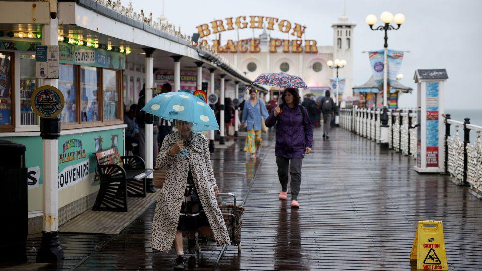
Heavy rain hits parts of England and Wales

Spectators brave the weather during the AJ Bell Great North Run 2024 through Newcastle upon Tyne, Gateshead and South Shields
- Published
The Met Office has a yellow weather warning in place that covers most of southern England, and much of south and mid-Wales.
Forecasters warned that spells of heavy, possibly thundery rain between 21:00 BST on Saturday and 18:00 BST on Sunday may cause flooding and disruption.
However, rain and showers are expected to ease throughout Sunday evening and overnight, according to the BBC Weather Centre.
By 17:00 BST on Sunday, the Environment Agency had lifted all but one flood alert for parts of England, while Natural Resources Wales removed all of their flood alerts for the country's southern regions.
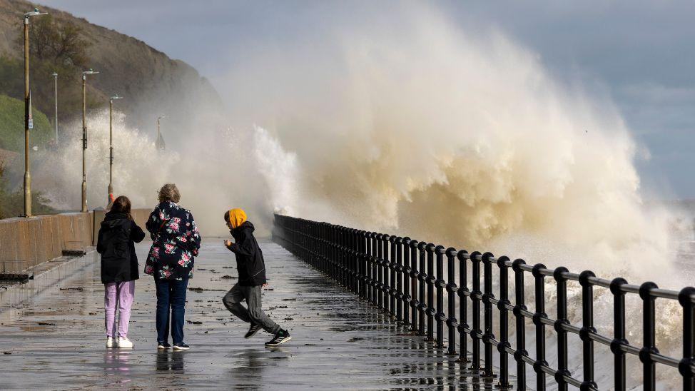
Warnings for flash flooding have been in place over the weekend.
Senior BBC meteorologist Nikki Berry said: "Given all the rain that has fallen recently across southern parts of the UK, this could result in some localised flash-flooding,"
"However, some parts of the warning area may see little or no rainfall at all."
It comes as people had to be rescued in parts of south Wales on Saturday, with a couple helped from their car as roads flooded following heavy rain.
Another person was rescued by firefighters after their home was flooded in Bridgend.

All of southern England, except the western tip of Cornwall, is covered by the warning
BBC Wales senior meteorologist Derek Brockway said a month's rain fell in 24 hours at Swansea's Victoria Park on Friday - which became the UK's wettest place.
Some parts of south-east England also had more than half of their expected rainfall for the whole of September in 24 hours on Thursday and Friday.
Goudhurst in Kent and Farnham in Surrey saw 29.4mm (1.16 inches) and 28.4mm (1.12 inches) respectively.
Sunday's yellow warning for rain covers all of southern and central England up to South Yorkshire, and all of Wales' southern counties.
The Met Office said areas of heavy and thundery rain over the weekend were expected to spread north, and then west, across England and Wales.
These areas of heavy rain may become more persistent across western areas during Sunday daytime, while slow-moving heavy showers and thunderstorms are likely to develop further east, the Met Office said.
There is a low chance that a few spots within the warning area could see 80 to100mm (3.1 inches to 3.9 inches) of rain by the end of Sunday.
These higher totals are slightly more probable in the southern half of the warning area.

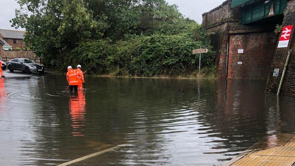
A road near Cooden Beach railway station in Bexhill was flooded on Thursday
From Saturday evening there was heavy and thundery rain which cleared northwards across some southern parts of the UK overnight, according to the Met Office.
Some of the more persistent rain has been affecting Wales, parts of the West Midlands and northern England, with Victoria Park in Swansea gaining further 38mm (1.4 inches) of rain overnight into Sunday.
There has also been heavy rainfall in parts of Shropshire. Close to Shrewsbury, 47mm (1.8 inches) of rain has fallen so far since Sunday morning. The figure is well over half the September rainfall average of around 61mm (2.4 inches) for the region, according to the BBC Weather Centre.
Met Office deputy chief meteorologist Dan Harris said: "Reminiscent of this time last week, the forecast for later this weekend comes with larger uncertainties than average.
"This is due to a more complex than usual meteorological pattern involving multiple corridors of heavy, locally thundery rain revolving around a slow-moving area of low pressure."
Mr Harris added that people should keep up-to-date with weather forecasts as warnings will be kept under review.

Motoring enthusiasts shield from the heavy downpours as they attend the Goodwood Revival, a three-day historic car racing festival near Chichester
What about next week?
"The rain and showers will ease through this evening and overnight as low pressure responsible slides away to the east," BBC Weather Centre Meteorologist Gareth Harvey said.
"An Atlantic low pressure system will bring some rain to the north of the UK going through Monday into Monday night. This clears to the south and east during Tuesday, ushering in much cooler air to the whole of the UK," he added.
However, he warned that showers "will be plentiful around the middle of the week, especially so towards the north-west", with the air potentially "cold enough for some snowfall mixed in with some of the showers over the highest Scottish mountain peaks".
Follow BBC Surrey on Facebook, external, and on X, external. Send your story ideas to southeasttoday@bbc.co.uk, external or WhatsApp us on 08081 002250.
Related topics
- Published5 September 2024
- Published4 September 2024
- Published3 September 2024