Drone image shows extent of field fire

One of the pictures taken by Northamptonshire Search and Rescue's drone
- Published
Images taken by a search and rescue team's drone have shown the damage caused by a field fire.
Firefighters were called to a blaze at a farm in the Shepherds Hill area close to Wollaston, near Wellingborough, at 13.40 BST on Saturday.
They were assisted by volunteers from Northamptonshire Search and Rescue (NSAR), which used its drone to capture aerial pictures to help the fire commanders assess the incident.
NSAR said a pre-flight check had identified an "imminent low-flight event and our pilot delayed launch for 4 mins while the Red Arrows passed close by".
Safety warning
The blaze damaged standing crops and farm machinery. At its height, there were six fire engines and a water bowser at the scene.
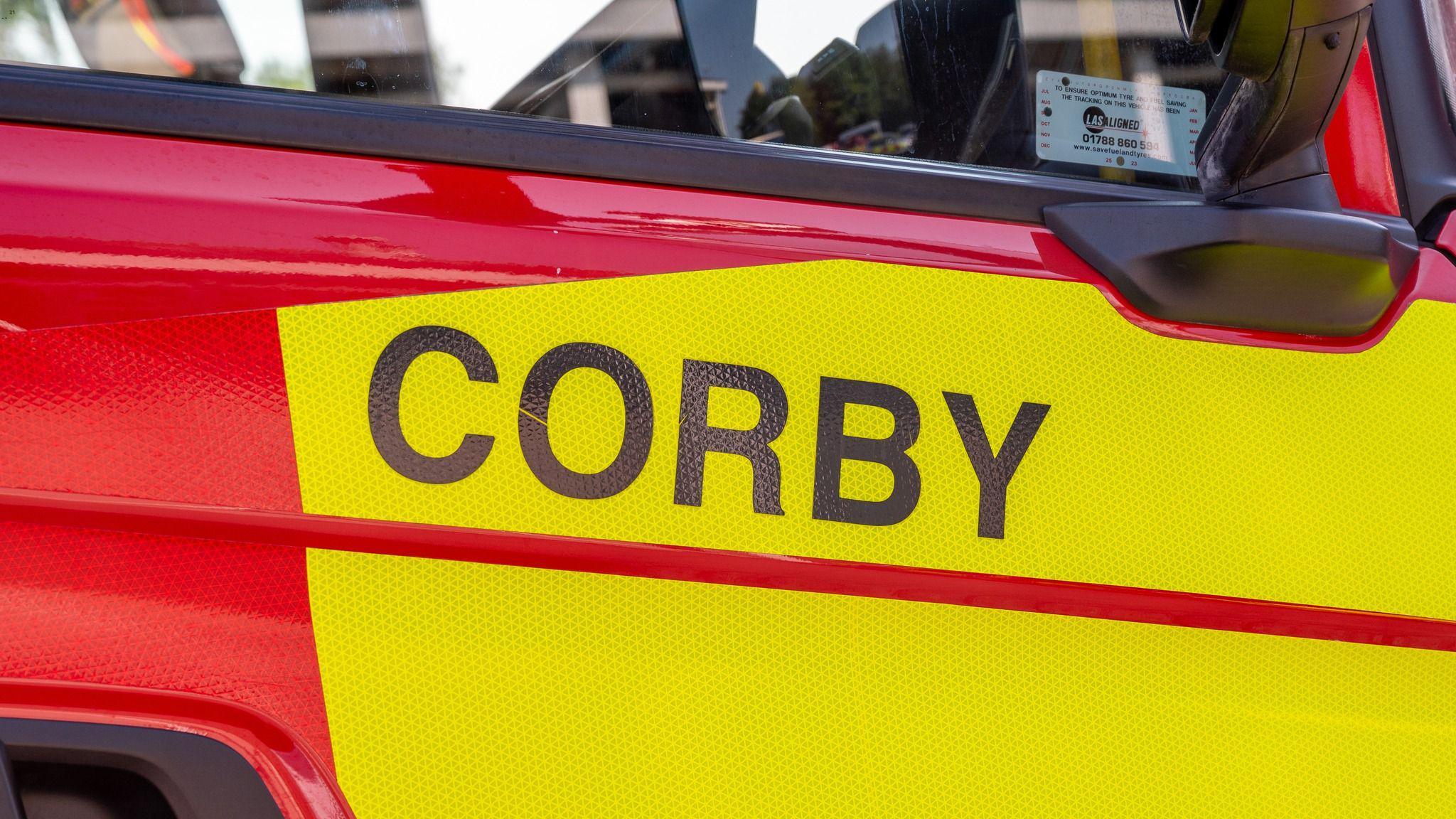
It followed another field fire at Corby on Thursday. Firefighters used wildfire backpacks and beaters to put it out.

A thatched building in the village of Aldwincle was badly damaged in a fire on Sunday
On Sunday, there was also a fire at a thatched property in the village of Aldwincle.
Ten fire engines went to the scene.
Two crews remain in the village, damping down.
The fire service has issued fresh warnings about increased risks during the warm temperatures.
In a post on social media, external it said: "Due to the hot weather we have had, the ground is dry, and fires can spread quickly – so please take care."
Get in touch
Do you have a story suggestion for Northamptonshire?
Follow Northamptonshire news on BBC Sounds, Facebook, external, Instagram, external and X, external.
- Published14 July

- Published11 July