Travel warning as snow and ice move in across country

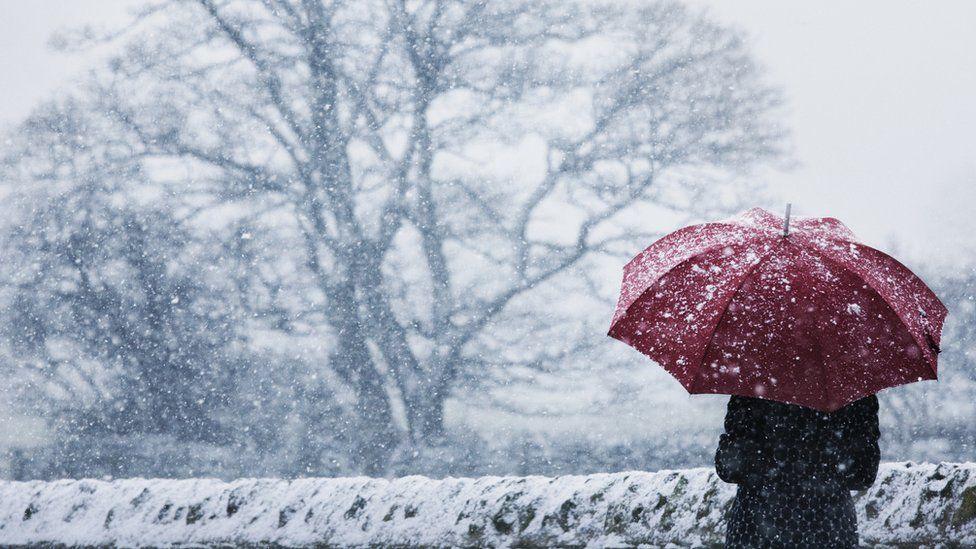
Kingussie in the Highlands saw heavy snowfall on Tuesday
- Published
The Met Office has warned that yellow weather warnings for snow and ice could impact travel in Scotland and northern England later.
Scattered showers of rain, sleet and snow are expected, with an ice alert in place for most of the central belt, southern Scotland and northern England until 11:00 on Wednesday.
An alert for snow and ice has also come into force for all of northern Scotland including Orkney, Shetland and the Western Isles, until 21:00 on Thursday.
The Met Office said that 0.8in to 2in (2-5cm) of snow is possible at lower levels and as much as 4in (10cm) on higher ground.

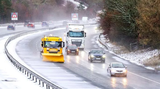
Snow ploughs have cleared the A9 in the Highlands after wintry conditions took hold
A snow and ice alert is in place for Northern Ireland overnight, as well as an ice warning for Wales and much of the Midlands in England.
Also in England, a warning for snow and ice covers some eastern coastal areas and western coastal areas on Wednesday and Thursday.
The UK Health Security Agency (UKHSA) has also issued amber and yellow cold health alerts, external for northern England and the Midlands which are valid until Saturday.
It will turn less cold by the end of the week, with temperatures rising slightly to return to average at the weekend.

The warnings cover much of the country across four days
Bear Scotland, which maintains Scotland's trunk roads, has reported "snowy conditions" across a number of routes in the north-west of Scotland, with snow ploughs out clearing the A82 and A9.
Some Calmac ferry services have been affected by the weather conditions, with some cancellations and delays, external across routes on the west coast and Western Isles.
ScotRail urged people to take care while travelling and to check the status of their entire journey before heading out.
Gritters have been out overnight pre-treating and patrolling, external roads across the country.
Stagecoach said customers would be updated about any changes on its app or social media channels.
The Met Office advised that there was a chance of power cuts as well as road closures.
'Conditions turning colder'
A yellow warning means the weather is likely to have some impact for some people, but others will be able to carry on as normal.
People are advised to keep an eye on the latest forecast to work out how much they might be impacted, especially if the weather gets worse.
The coldest night since March was recorded on Saturday when temperatures dropped to -7C in Tulloch Bridge in the Highlands.
Kirsty McCabe, from the Royal Meteorological Society, told BBC Radio's Good Morning Scotland programme people would notice the "sudden switch" to cold weather.
"November so far has been well above average, it's felt very mild," she said. "This is the first proper cold snap of the season. It's really feeling quite wintery. Also, because we've got the snow and ice warnings out.
"Yes most of the snow will be above higher ground, across parts of northern Scotland but this evening could be quite a wintry mix coming down, even into the central belt to lower levels. So we could see a few flakes of snow this evening."

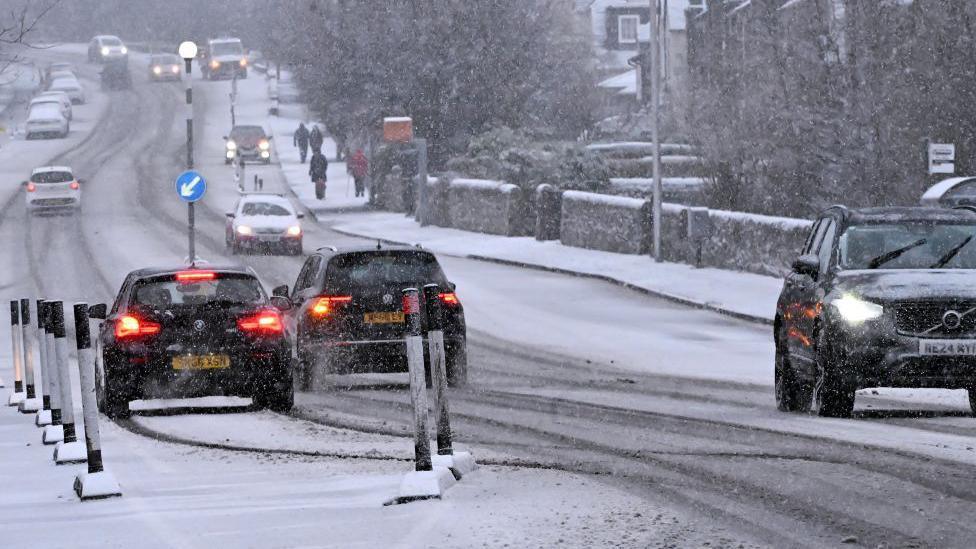
Oxton in the Scottish Borders saw icy conditions on Tuesday morning
For those travelling to Hampden to see Scotland play Denmark in the World Cup qualifier, Ms McCabe said it could be a bit sleety in places and "maybe the odd rumble of thunder".
She said that although the snow was not likely to settle at lower levels it could be enough to cause disruption.
"It could make the roads more skiddy in places and could affect travel and the trains," she said.
She added that the cold snap would last until the end of the week and by Friday morning temperatures could go down to -10C in some areas.
However, she said temperatures would return to average through the weekend.

Last November, a bus toppled onto its side in icy conditions in Aberdeenshire
Police Scotland said drivers should ensure their cars are roadworthy before heading out.
Last week, Scottish transport operators outlined their winter resilience plans.
This included stocking up on 497,000 tonnes of salt - more than was used for the entirety of last winter - and preparing 240 gritters to undertake salt spreading and snow ploughing patrols of the trunk road network.
So far, November has been considerably milder than previous years.
Typical overnight temperatures at this time of year range from 2C in Scotland to 5C in the south of England, but they rarely fell into single figures during the first week of November this year.
Temperatures below -10C were recorded in some parts of northern Scotland last November, including Braemar in Aberdeenshire which reached a low of -11.2C.
Temperatures to drop
This week's weather will give us an early taste of winter, writes BBC Scotland Weather's Christopher Blanchett.
The forecast is for 1-2in (2-5cm) of snow on ground above 500ft (150m) across inland areas north of the central belt.
On higher ground and higher road routes, the snow will be heavier, with a greater potential for some disruption.
Some disruption is likely with ice, sleet and snow causing problems for travel during Tuesday morning, before easing into the afternoon.

Cold spells are expected over the next week, with the potential for snow similar to this scene near Mintlaw in Aberdeenshire last November
There's a little pocket of less cold air within the system, which means for much of the central belt and south, snow is likely to be on higher ground.
But as the temperature drops on Tuesday night, snow may come to lower levels again for a time.
Bitter north winds will surge across the country on Wednesday and Thursday, with frequent snow showers at sea-level across the north of Scotland and down some eastern and western coasts.
Thursday night could see the coldest spots of the country dip to a bitter -10C.
Related topics
- Published5 days ago
- Published1 day ago
- Published9 hours ago
- Published9 hours ago