Ex-school site used for pitches could be developed

The Ball Green High School site is being considered for "various future uses"
- Published
The site of a school which closed 30 years ago is set to be earmarked for development, despite opposition from hundreds of people.
The former Ball Green High School is one of 11 pieces of land owned by Stoke-on-Trent City Council which the authority wants to declare surplus and include in its local plan.
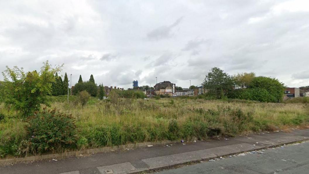
The playing fields on the land off Bemersley Road, which lies in the green belt, have been used as football pitches since the school was demolished.
More than 440 people have signed a petition asking for the site to be retained for public use. A council report said it was being considered "for various future uses" as part of a wider scheme.
And the report to the council's cabinet about the 11 sites states declaring land surplus did not mean a decision had been taken on its future.
Instead it allowed officers to investigate different uses for the land.
The local plan will guide development in the city over the next 15 years, including earmarking sites for homes.
The government has set the city council a housing requirement of 948 homes a year, about twice what is currently delivered.

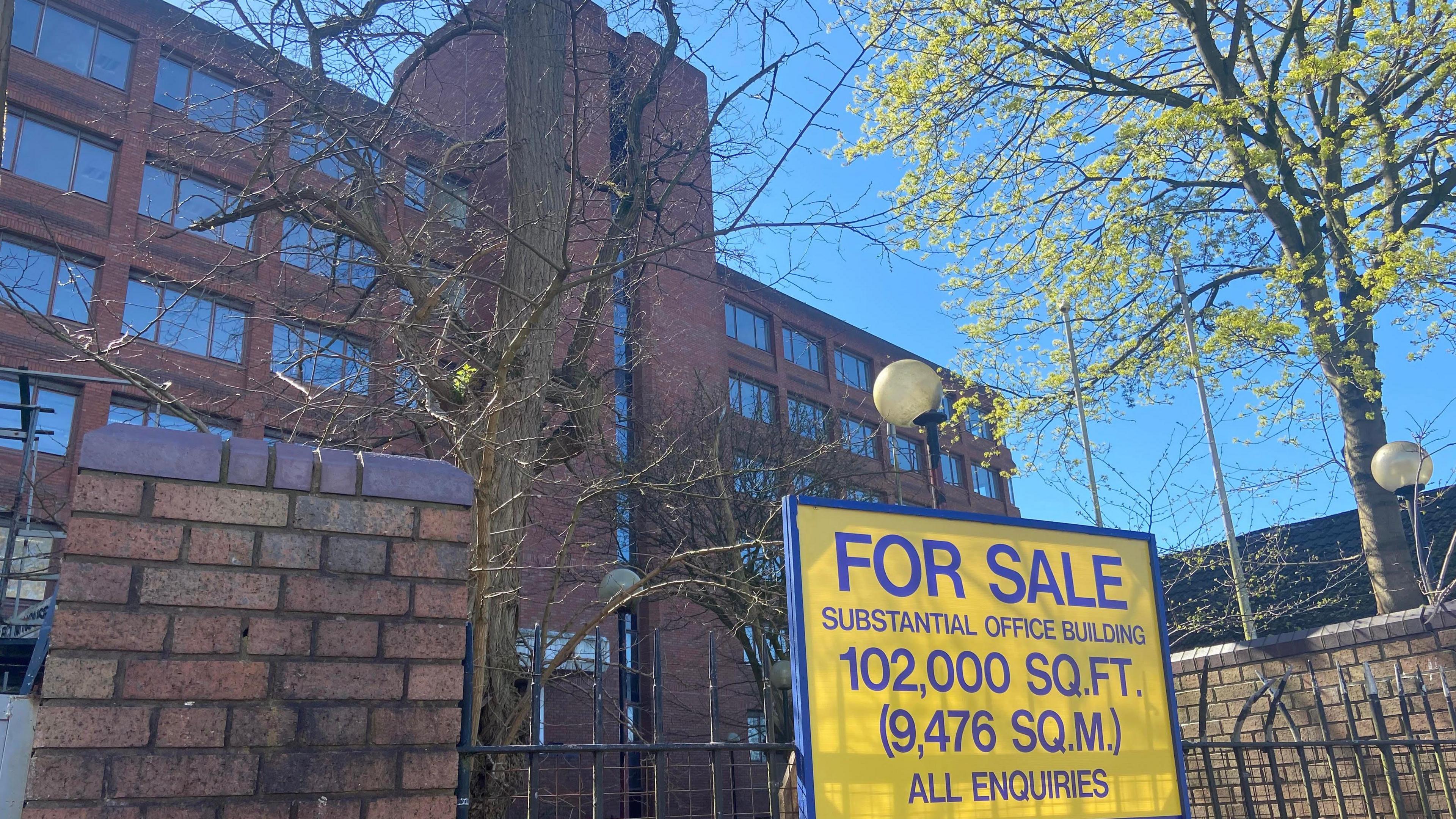
Land at Canal Lane is also being considered, but local parking issues would need to be addressed before it could progress
While most of the 11 sites are set to be earmarked for housing, the high school site is part of the Chatterley Whitfield Development Project which considers various future uses.
Baddeley, Milton and Norton councillor Dave Evans started the petition and said the council should develop brownfields sites and not build on greenbelt land.
"Once you start taking bits of land out of the green belt you get the sort of urban sprawl that the green belt is meant to stop," he said.
"The Redhills Road site in Milton desperately needs to be developed so the contamination of the land can be dealt with."
Chris Robinson, cabinet member for housing, planning and governance, said the sites' future will be discussed at a cabinet meeting on 24 June.
He said they were aware of the petition and would listen to residents' views and other stakeholders before making any decisions.
"The council currently owns around 500 buildings and pieces of land, all of which cost a significant amount to maintain, and many are no longer needed.
"Reviewing these sites is an important part of our plans to save money, run more efficiently and unlock new opportunities for communities.
"We are committed to making better use of brownfield land and provide more homes for local people."
Where are the 11 potential local plan sites?
Bilton Street – Boothen
Booth Street – Boothen
Power Grove – Longton and Meir Hay South
Bengry Road – Lightwood North and Normacot
Eaves Lane – Abbey Hulton
Caverswall Lane – Meir Park
Central Business District (Smithfield) – Etruria and Hanley
Woodhead Road – Abbey Hulton
Brookwood Drive – Meir North
Canal Lane, Westport Lane – Burslem
Ball Green – Baddeley, Milton and Norton
Get in touch
Tell us which stories we should cover in Staffordshire
Follow BBC Stoke & Staffordshire on BBC Sounds, Facebook, external, X, external and Instagram, external.
This news was gathered by the Local Democracy Reporting Service which covers councils and other public service organisations.
Related topics
- Published2 June
- Published14 April