Plans for 100-mile city centre walkways

The project is expected to take a decade to complete if it goes ahead
- Published
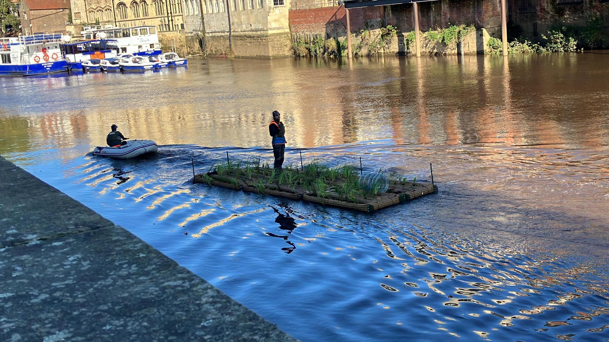
A 100-mile network of walking routes across Manchester city centre, including brightly-coloured walkways over canals and rivers, is being proposed.
The CyanLines initiative, expected to cost at least £100m over 10 years, would connect the city's parks, rivers and canals with major infrastructure projects.
It could also include wooden paths which would appear to float above both the Manchester and Salford sides of the River Irwell, as well as jetties for rowing boats and cycle lanes.
The plans are still at an early concept stage but have been backed by Manchester City Council.
Labour council leader Bev Craig said she was "on a mission to make our city greener".
"CyanLines is a bold new initiative over the next decade to imagine and create over 100 miles of connected parks, green spaces and waterfronts," she said.
"This is just the start of CyanLines and I urge residents, business owners, community groups and leaders to join us on this very exciting journey to truly transform our city."

The idea is to make the city centre greener
The proposed route could include paths from Mayfield Park via Ancoats and New Islington as well as a walking corridor from St Peter's Square to Whitworth Park.
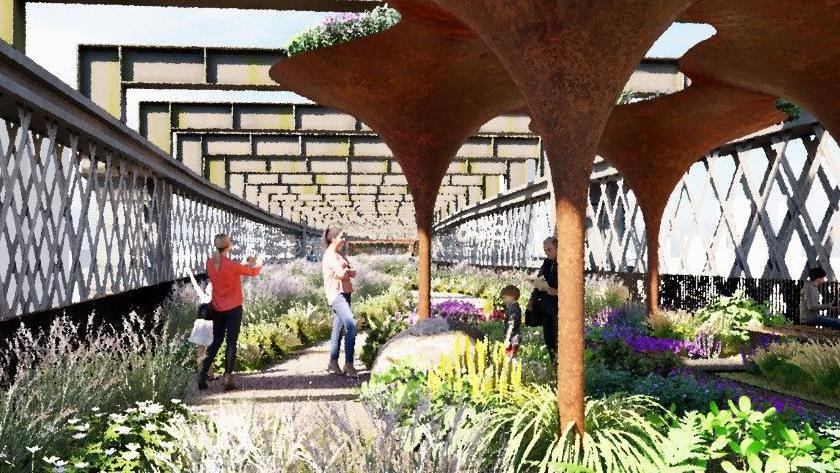
There are also plans for a "park in the sky" near Castlefield and new infrastructure projects, along with ideas to promote tourism.
The scheme could also extend the Castlefield Viaduct park.
The former railway viaduct was transformed into a city centre park in the sky in 2022 after work by the National Trust.
Get in touch
Tell us which stories we should cover in Greater Manchester
Listen to the best of BBC Radio Manchester on Sounds and follow BBC Manchester on Facebook, external, X, external, and Instagram, external. You can also send story ideas via Whatsapp to 0808 100 2230.
Related topics
More like this story
- Published26 September 2024
- Published14 October 2024