The hidden rivers under Beverley's ancient lanes

Researcher Kloskk Tyrer has been researching Beverley's hidden waterways
- Published
What happened to Beverley's medieval waterways and why were women publicly punished at its town centre pond?
The BBC's Hidden East Yorkshire podcast has been taking a deep dive in search of the answers to these questions and many more in its latest episode.
Rivers and streams once flowed through Beverley, helping to shape this East Yorkshire market town, but many have since been covered.
Researcher Kloskk Tyrer, who has been exploring the town's history, said the waterways were eventually obscured because "they were getting so polluted with household and industrial waste and would have been pretty stinky".
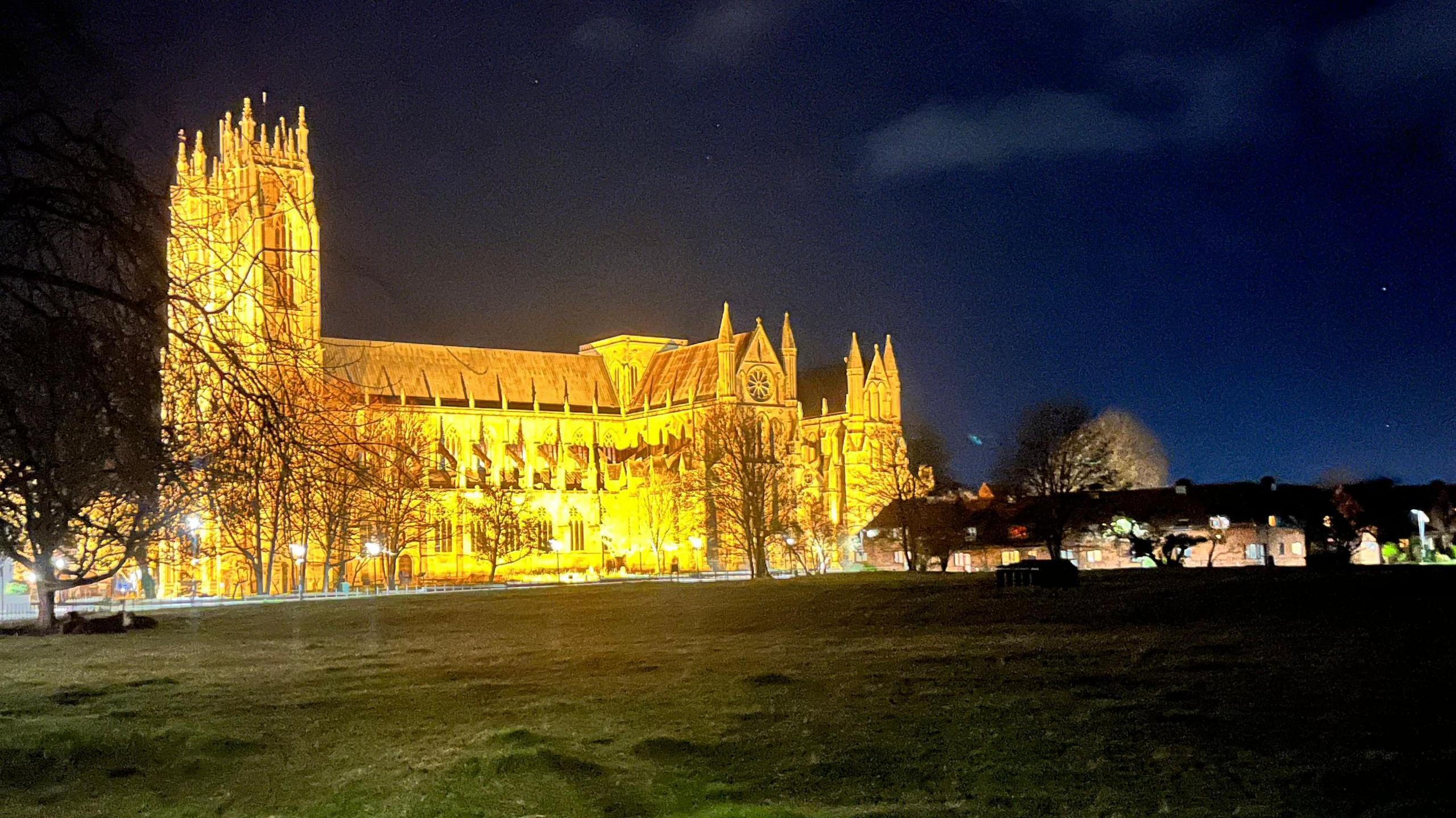
Beverley was shaped by the streams that ran through its sinuous streets
The medieval town was a very wet place with lots of waterways and marshland.
Rivers used to run above ground but, as the area developed, these waterways were covered over with culverts.
However, look closely at its sinuous streets and evidence of Beverley's watery past still exists, according to Ms Tyrer, who works at the Guildhall on Register Square.

The map shows the routes of three of Beverley's main streams, which now run underground
One of the most important rivers in the ancient town was the Walker Beck, which ran from the Westwood to Mill Dam Drain before it flowed into Beverley Beck and then to the River Hull.
Although no longer visible, it still runs underground as a storm water drain and "follows its original medieval course through the town," said Ms Tyrer.
"Back in the Middle Ages there were loads of streams running through Beverley because it sits at the foot of the Wolds that are made of chalk, which water runs through and forms an aquifer.
"So at the point were Beverley sits, it is right on the spring line and all these subterranean streams come out at this point."

In January 2024 the bottom of Beverley Westwood was flooded along the course of the Walker Beck
Beverley is on the edge of the Yorkshire Wolds and after heavy rain, the water flows down to the bottom of the Westwood, along Willow Grove and on towards North Bar, on York Road.
There it meets up with the Town Ditch, where a large pool called Bar Dike was formed hundreds of years ago.
Stood by this pool, until the 1750s, was a ducking stool used to punish suspected witches or women who were said to scold or argue with their husbands.
The offender was strapped to a wooden or iron armchair, which was attached to a long wooden beam and lowered into the water.
The pool was eventually filled in about a hundred years' later.

A bridge once was spanned across the junction of Walkergate and Toll Gavel
From North Bar, the Walker Beck and the Town Ditch flowed towards Wylies Road where the former waterway then poured south onto Walkergate.
Back then the area was known for its cloth-making industry, with a reminder of the town's textile past seen on one of the street names - Dyer Lane.
During the medieval times, Dyer Lane was originally called Bowbriglane where a bridge spanned across a beck.
Further up the road, where Walkergate meets Toll Gavel, was another bridge named Cross Bridge.
Both bridges are no longer visible but evidence of the latter can be seen at the junction, at which the roads slightly incline.

North Bar Without in Beverley once had a large pool called Bar Dike where women were publicly chastised
Ms Tyrer said a boom in Beverley's clothing and tanning industries meant there was "a lot of toxic waste", which gushed into the town's waterways.
"People and animals were all living on top of each other and they were just generating piles of excrement and animal carcasses.
"People had to keep the front of their houses clean, plus any waterway in front of it.
"So everything would just end up in the streams."
Eventually the system "got completely clogged up" and an inspection of the Walker Beck in the late 1800s left officials "horrified" and led to the waterways being concealed.
While the rivers and streams have long gone, look closely at the town's lanes and streets and you may be able to see the markings of where they once flowed.
Visit BBC Sounds to listen to the full series of Hidden East Yorkshire.
- Published25 December 2024