Drones tracking grazing deer threat to woodlands
- Image source, FLS
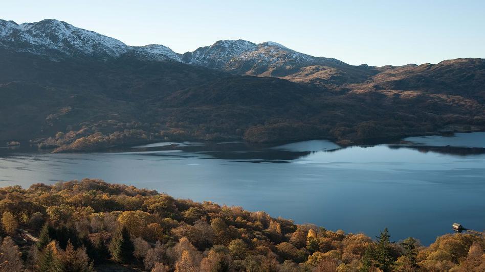
Image caption, Forestry and Land Scotland is regenerating woodlands around Loch Katrine


1 of 4
- Published
Drones fitted with thermal imaging technology are being used to track deer across more than 2,000 acres of woodland in a Scottish national park.
Forestry and Land Scotland (FLS) said grazing deer posed a potential threat to young trees around Loch Katrine in the Loch Lomond and The Trossachs National Park.
The Scottish government agency has contracted a drones company to help monitor numbers and movements of the animals in the area.
FLS said the information gathered could be crucial to controlling the deer population through culling.
It said drones were the latest example of its use of technology to help manage woodlands and forests.
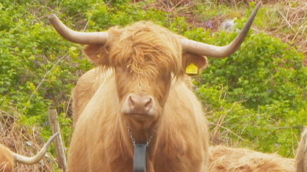
In June, it started a trial at Glentrool in Dumfries and Galloway involving cows fitted with GPS collars.
FLS hopes to create up to 4,942 acres (2,000ha) of woodland around Loch Katrine, near Aberfoyle.
It said the drone thermal imaging provided information on the location, species and sex of deer in the area.
FLS said deer numbers in Scotland had doubled in the past 30 years to more than one million, according to recent estimates.
Culls are used to help protect trees by controlling numbers, but the measures have drawn criticism from animal welfare charities.
- Published2 June 2022