Scotland's wrong and winding road that never was

Detail from a technical drawing from 40 years ago of proposed road
- Published
Forty years ago engineers were presented with a challenge - how do you reach ski slopes more than half way up the eighth highest mountain in Britain?
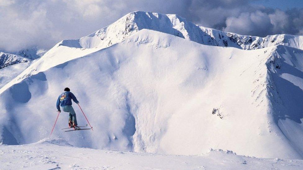
Local people had been skiing on 1,221m (4,006ft) Aonach Mòr, near Fort William, since the 1930s.
Between the late 1960s and early 1980s the economic benefits of the area's snowsports potential were explored, before plans were developed to open what would become known as Nevis Range.
But one of the big problems was how to get people close to the ski runs. In 1984, a road was proposed.

The road would have had 14 hairpin bends
"We need to be thankful it was never built," says former Highland Regional Council divisional roads engineer John Hutchison.
Laid out next to him on a long sheet of paper is a technical drawing of the planned route.
He says: "This road goes from about 100m up to 640m.
"That road would have zigzagged all the way up the hill."
The proposed road was almost five miles (8km) long and would have had 14 hairpins, very sharp bends in a road also known as switchbacks, to get traffic up a steep slope.

Former roads engineer John Hutchison said there were worries about how to keep the road open in winter

A hairpin on the planned route up Aonach Mòr
Mr Hutchison says Nevis Range developers had hoped the local authority would build the road.
But there were concerns, particularly around how winter conditions would affect it.
Mr Hutchison says: "My concern was trying to keep it open in the morning to let the skiers get in."
Engineers looked at the experience of the operators of a ski centre in the Cairngorms, near Aviemore, today known as the CairnGorm Mountain resort.
The site is reached by a steep road with two large sweeping bends in it.
"They had to spend two or three hours clearing it with a snow plough before they got customers in," Mr Hutchison says.

The road would have climbed from 100m to 640m

Engineers looked at the experience of keeping the Cairngorm ski road open
Nevis Range planners were asked to go back to the drawing board.
What ended up being built was a shorter road to a base station at 100m (328ft) and a gondola system to take people to a top station - and the slopes - 650m (2,132ft) up the mountain.
Nevis Range marked its 30th anniversary in 2019.
As well as snowsports, the centre is a well-known venue for stages of a mountain bike world cup competition.
Mr Hutchison suggests sticking with the original access road could have threatened the survival of Nevis Range.
He adds: "The land that this road would have occupied, zigzagging back and forth, is the same land used today for the downhill mountain bikes.
"So the mountain biking might not have happened."

A mountain biker with Nevis Range's gondolas in the background
Related topics
- Published14 December 2019