Row erupts over access to remote Fenland trail
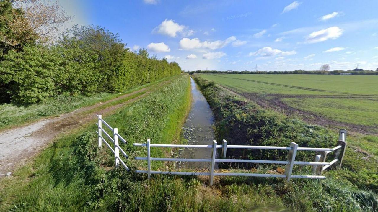
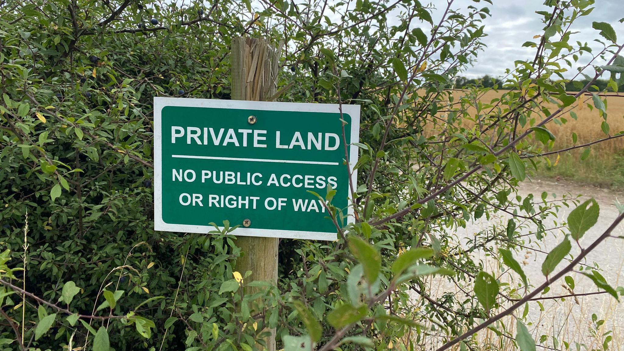
Barriers have been put up along Smeeth Bank to prevent fly-tipping, but horse riders say it is blocking an historic right of way
- Published
A route along a ditch in a remote corner of the Fens has become the focus of a furious feud between horse riders and landowners.
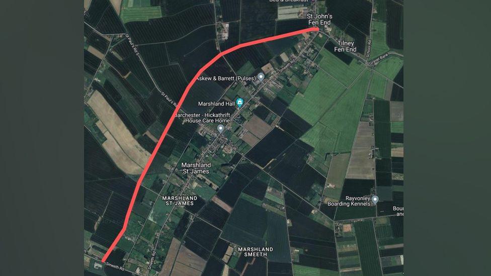
Concerns about fly-tipping and anti-social behaviour have led farmers to block off sections of Smeeth Bank, a 5km (3.1-mile) trail near Marshland St James, in west Norfolk.
A recent public inquiry held in Wisbech aimed to establish whether the trail should be registered as a restricted by-way and reopened.
The British Horse Society is fighting to get the path fully reopened, claiming there is evidence it has been used as a public right of way since the 1800s.
The track runs along Smeeth Lode, a man-made waterway and drain stretching between the villages of St John’s Fen End and Emneth.
The path is believed to have been a public right of way since the 1800s
If the route is approved as a public path, the concrete barriers would be removed and walkers, hikers, horse riders and cyclists would be able to freely use it.
Motorised vehicles would still be banned.
Crime concerns
Objector and local landowner Steven Niemiec tried to persuade a planning inspector at the inquiry that there was no evidence the route was a public path.
Another told the inquiry their family had maintained the path since the 1840s, adding: "Opening up this route will lead to fly-tipping, hare coursing and the path being destroyed by vehicles and it will be me who has to clear it up."
Mr Niemic added: "There are grave concerns that once you open it up and remove barriers... it will become trashed and nobody will be able to use it."

The public inquiry has been taking place at Marshland Hall near Wisbech
Planning inspector Mark Yates repeatedly told the meeting antisocial issues did not relate specifically to whether the route had been used historically as a public right of way.
"That is how the law is," he said. "If I were to say the path can’t be used due to antisocial behaviour(…)I will find myself in the high court.
"We need to put an end to all of this, we are wasting time."
There were calls for gates to be erected and other means for the route to be blocked to stop vehicles travelling on it.
However, legally restricted byways cannot be gated in this way.
Helen Chester, of the British Horse Society’s access team, claimed that many horse riders who use the route have to navigate obstructions.
Mr Niemic said maps published over two centuries proved only that the waterway existed, not that it was a right of way, calling the evidence "hearsay".
However, Norfolk County Council officer Kathryn Webb said that the authority believed numerous sources proving the route had existed as a highway since the 1800s.
The planning inspector will make a decision in the coming weeks.
Get in touch
Do you have a story suggestion for Norfolk?
Follow Norfolk news on BBC Sounds, Facebook, external, Instagram, external and X, external.
Related topics
Related stories
- Published12 January 2024
- Published20 August 2024
- Published3 November 2022
