Bin lorries to map poor mobile coverage hotspots

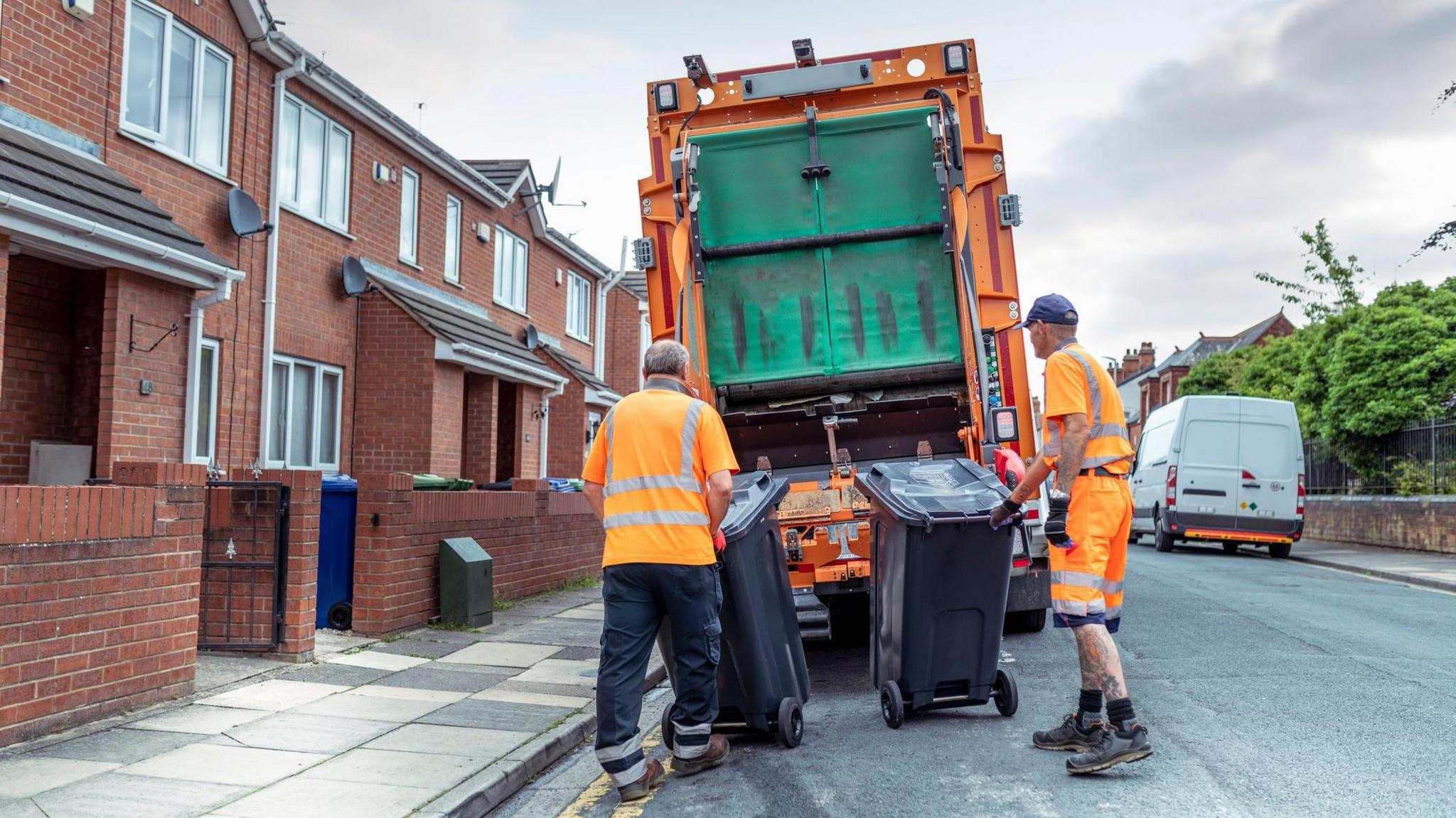
Trackers will be fitted to Gloucestershire refuse collection trucks for the research
- Published
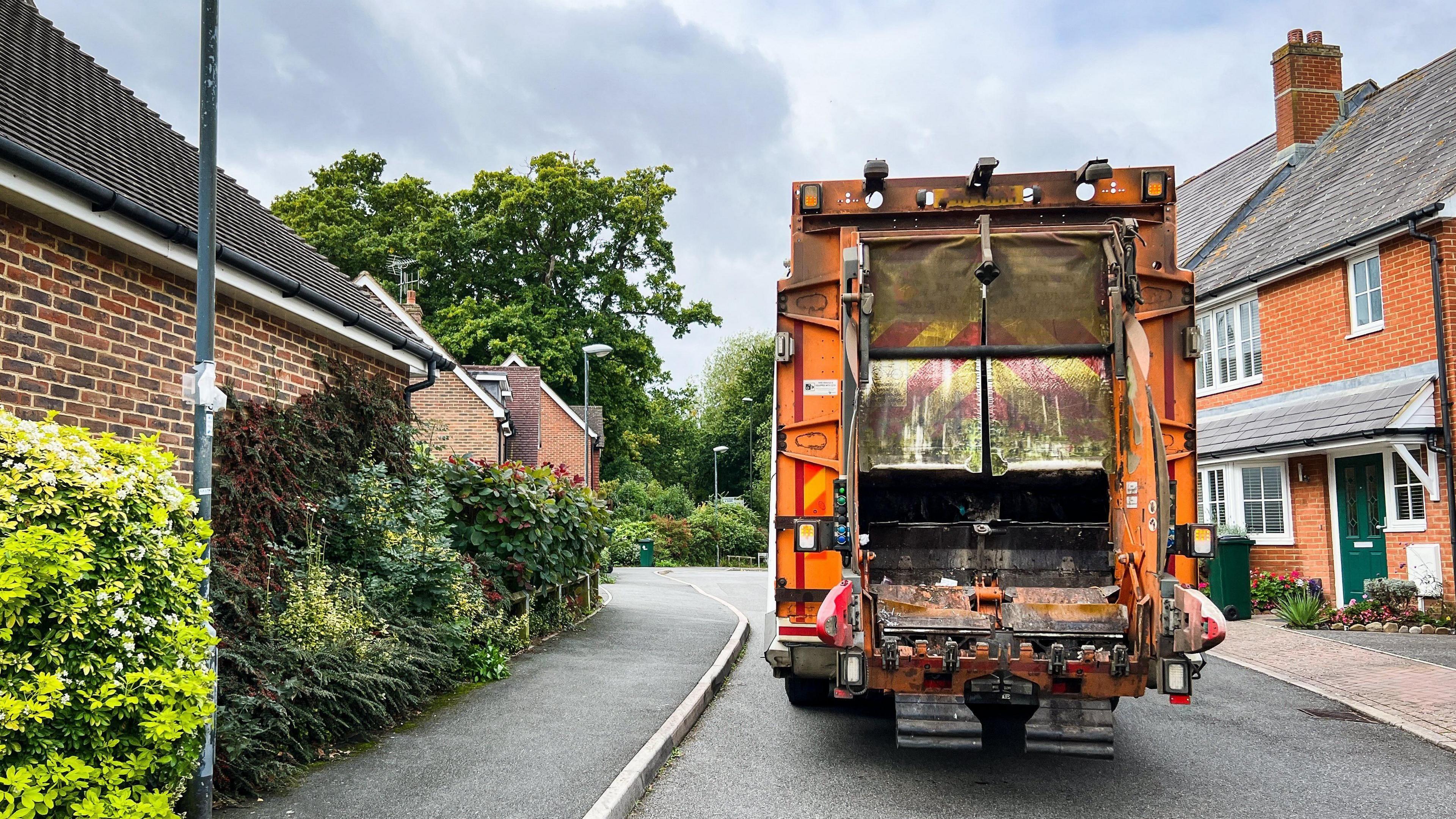
Bin lorries are being fitted with trackers to identify "digitally excluded communities".
The UK's largest mobile connectivity survey is covering 31,780km (19,747 miles) of roads across the country, including in Gloucestershire.
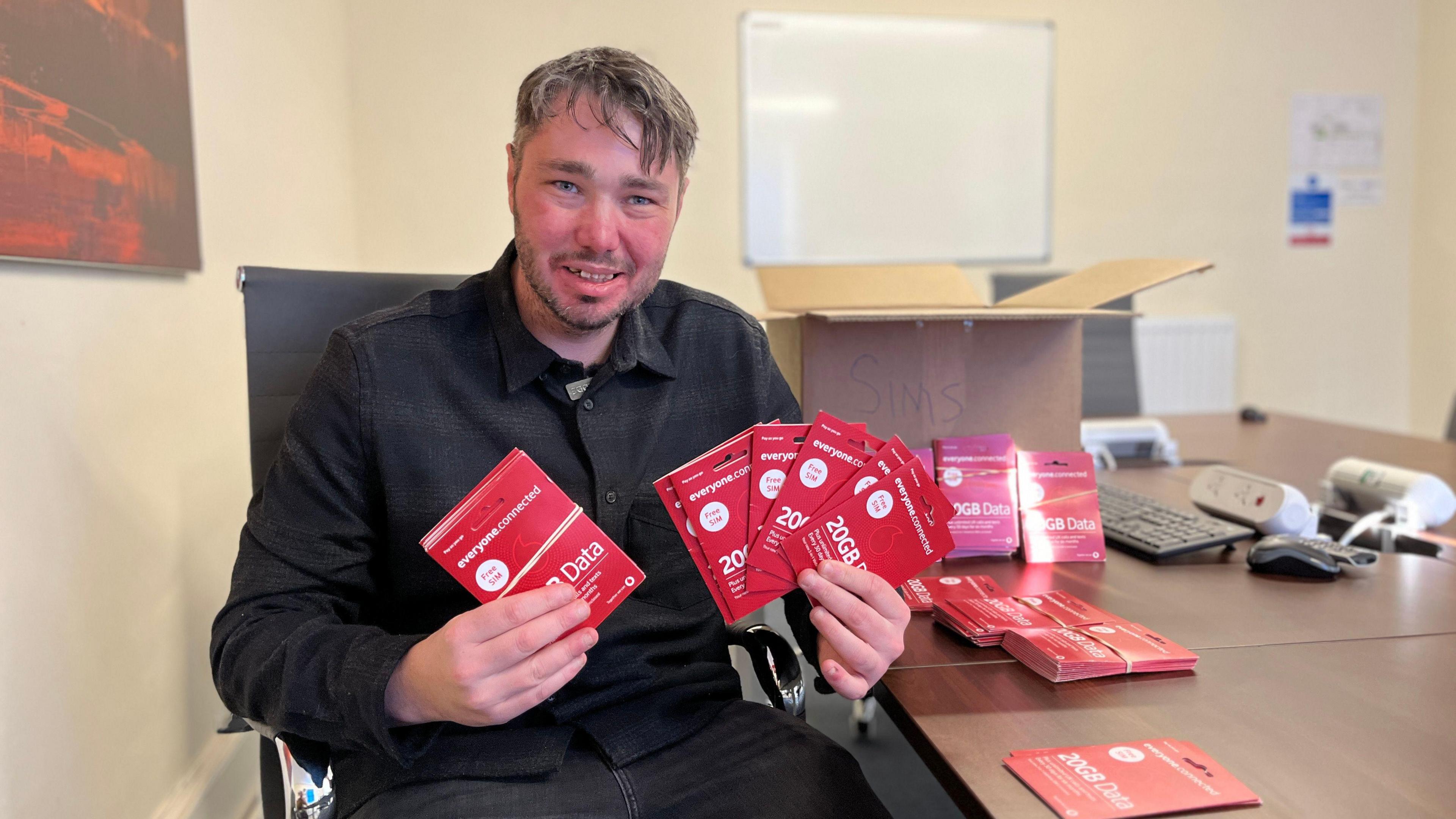
Research is being conducted by Streetwave - a company creating mobile network performance maps to identify low data areas.
Gloucestershire County Council said the research will help inform decision-making for planning applications for new mobile mast sites.
David Gray, cabinet member for environment, economy and planning, said: "Gaining an even better understanding of areas affected by poor connectivity will allow Gloucestershire County Council to target resources and provide information based on community need when considering planning applications for new mobile mast sites."

The research is being paid by a £3.75m government grant
The research was commissioned by the River Severn Partnership (RSP) - a multi-sector collaboration aimed at boosting prosperity for the 2.6 million people living in the Severn Catchment.
The RSP includes councils and unitary authorities in Gloucestershire, Shropshire, Herefordshire, Monmouthshire, Powys, Telford & Wrekin, Warwickshire and Worcestershire.
As well as economic benefits, the RSP is also focused on improving the environment and building resilience to climate change.
The connectivity map is being funded by a £3.75m government grant.
Get in touch
Tell us which stories we should cover in Gloucestershire
Follow BBC Gloucestershire on Facebook, external, X, external and Instagram, external. Send your story ideas to us on email or via WhatsApp on 0800 313 4630.
- Published5 December 2024

- Published26 April 2024

- Published13 February 2024
