Why are parts of eastern Scotland bearing the brunt?published at 14:57 BST 19 October 2023
 Matt Taylor
BBC Weather
A number of factors are in play, which include the weather set-up, the direction of the wind, and the geography of the area.
WEATHER SET-UP
With a big stubborn area of high pressure sitting across Scandivania right now, any weather systems coming in of the Atlantic are getting stuck with no place to go. This has meant a rain-bearing weather front that swept north across the UK last night has ground to a halt in the area, meaning persistent rain.
The weather system also started out over the warmer climes of the mid-Atlantic. The warmer air feeding it is full of moisture, leading to greater rainfall potential.
WINDS
The direction of the wind is crucial. The UK’s prevailing wind direction is off the Atlantic, meaning western areas usually receive the highest rainfall totals. This time we unusually have a prolonged spell of strong east to south-easterly winds. This results is eastern areas naturally seeing the highest rainfall totals.
GEOGRAPHY
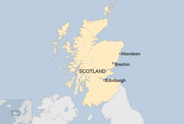
As those winds meet the high ground of the Grampians, they are forced to quickly rise up to get over them. This causes something called “orographic enhancement”. With air rapidly rising and cooling into deeper clouds on the eastern side of the mountains, it leads to higher rainfall totals. Stronger winds enhance this even more.
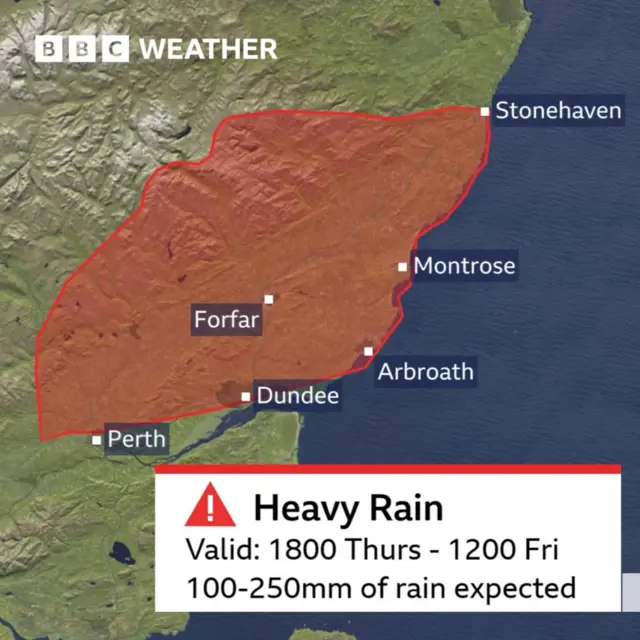
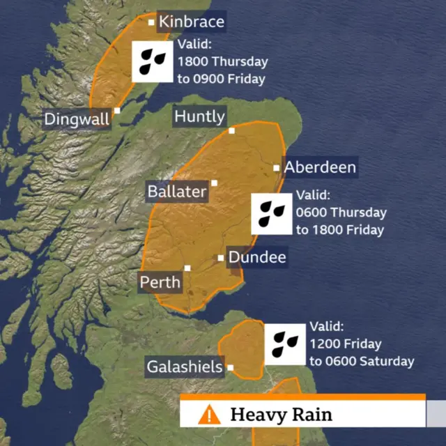
This then rapidly flows down into the low-lying areas across south Aberdeenshire, Angus and Perth & Kinross, resulting in the extensive flooding warned of in the Met Office red weather warning.
