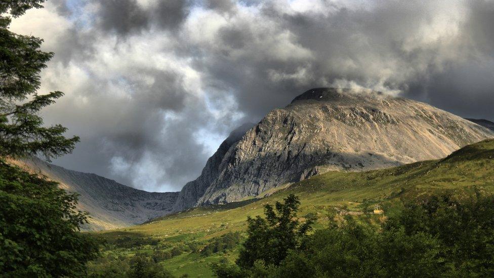
Ben Nevis gets automatic weather station
- Published
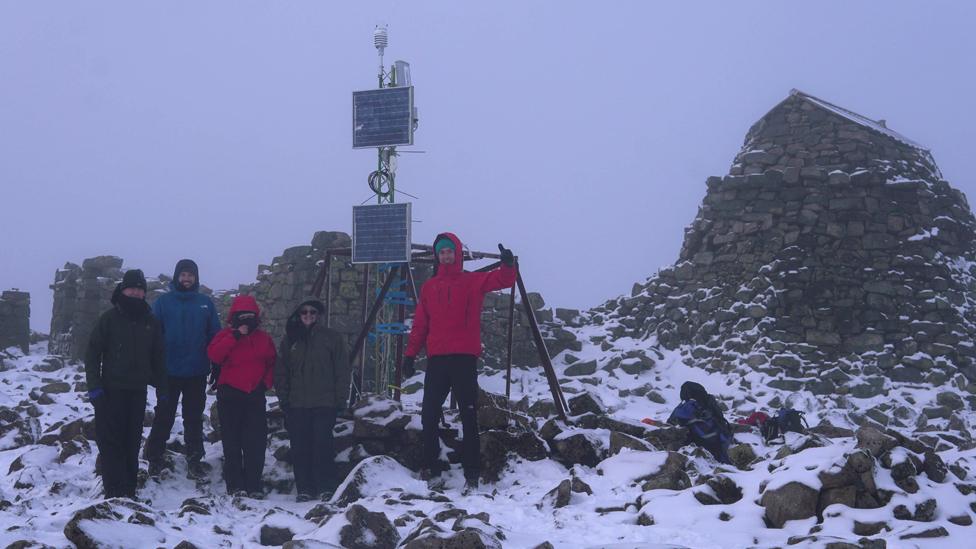
The station is temporary and will be taken down in December
Live weather data is being recorded again at the top of Ben Nevis, the UK's highest peak, after a 113-year gap.
Researchers have installed an automatic meteorological station that digitally collects information on temperatures, wind speeds and rainfall levels.
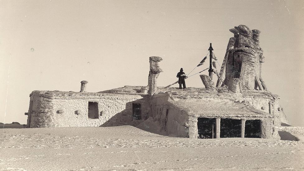
Until 1904, the same measurements were gathered by men who lived in a shelter at the summit.
The weather station was carried up the mountain, in the Scottish Highlands, by a team of researchers on Tuesday.
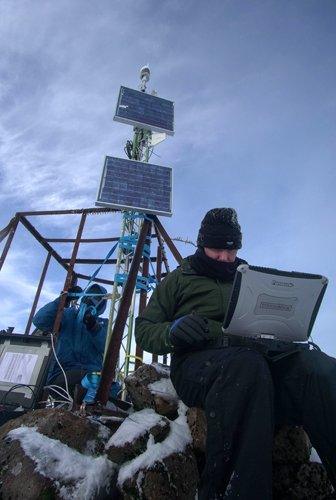
Solar panels and batteries drive the station
The new station means visitors to the UnEarthed exhibition in Edinburgh, external next week will be able to take a look in real-time at weather conditions on the mountain, something that was not possible previously.
Dr Barbara Brooks and her team from the NERC National Centre for Atmospheric Science, external carried the equipment up the mountain on Tuesday - and were able to be precise in their observations on the weather they encountered.
"We had some blue sky and then as we crested the summit the cloud banks rolled in and we got some light snow flurries. The temperature was -3.6C with a wind chill of -12C," she told BBC News.
Escorted by local guide Ron Walker, the team of five set up a solar-and battery-powered Vaisala WXT536 station to record wind speed and direction, pressure, temperature, humidity, and precipitation - specifically rain and sleet.
These are the measurements that the famous "Weathermen of Ben Nevis" would take by hand on the hour, every hour, during the period from 1883 to 1904.
They lived in a small shelter and telegraphed their observations to the town of Fort William down below.
Their original logs are now being digitised by volunteers for the Operation Weather Rescue: Ben Nevis, external project.
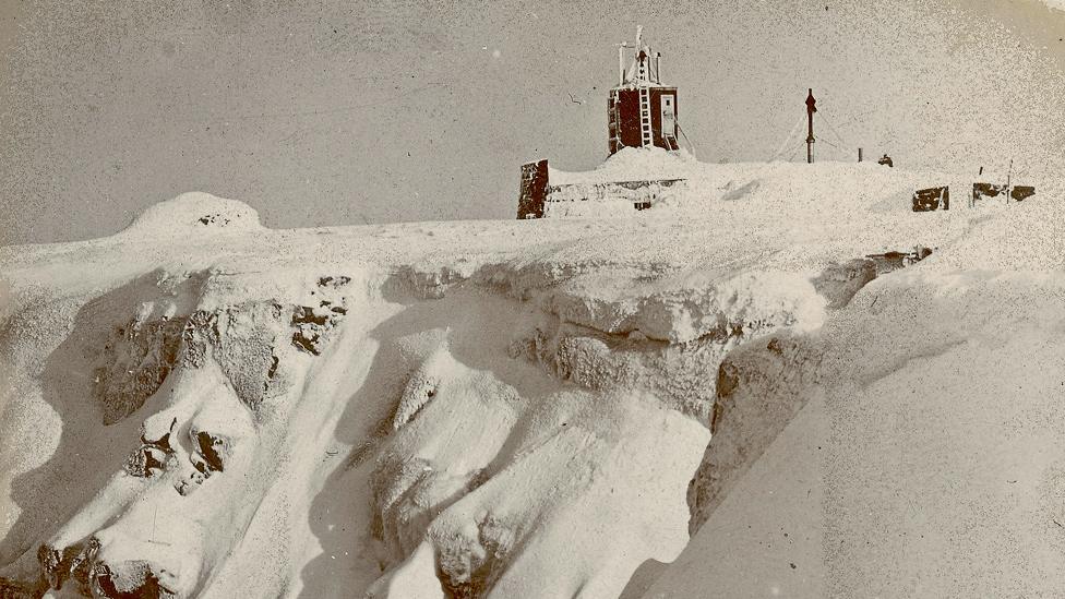
The Ben Nevis weather observatory was manned from 1883 to 1904
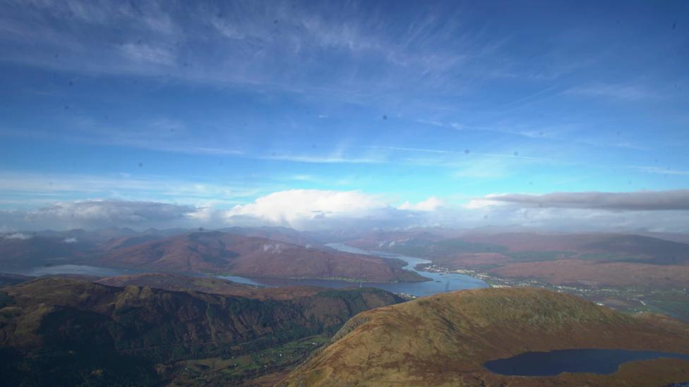
The NCAS team got all types of weather as they went up Ben Nevis
The old information is still useful because it can shed light on past storms in the Scottish Highlands as well as providing ongoing insights into how weather systems evolve as they pass over Scotland's largest mountains.
In addition, scientists say, it is all part of the broader archive of data that is needed to inform our understanding of Britain's climate.
"Next year, the UKCP18 report will be released and it will contain very detailed projections of how the UK climate could change," explained NCAS scientist Prof Ed Hawkins from the University of Reading.
"As part of that there are updated observations and these will include a gridded daily rainfall data-set back to 1891. That's brand new and it will include the recovered Ben Nevis information."
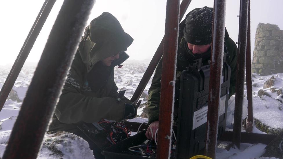
A 4G modem is used to send the weather data to NCAS at Leeds University
The newly installed weather station on the peak of Ben Nevis will only be in place until December, when it will be taken away again.
It has been bolted to some old metal caging about 15m from the pillar that in the past was used to measure the height of the mountain's summit (1,345m/4,411ft) and the surrounding peaks. A permanently installed weather station would require a more secure footing.
The scientists, however, are hopeful the interest around the digitisation project will inspire a successful long-term funding proposal.
This would enable a bigger installation to be flown up by helicopter. Additional instruments such as snow-depth sensors could be included.
Dr Brooks' team left a webcam in position on Tuesday, but a permanent station could have several looking out in all directions.
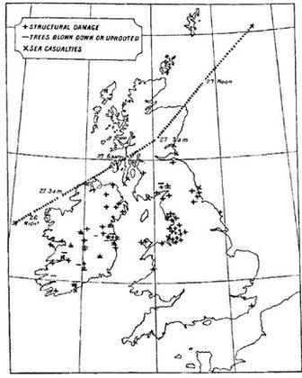
The "Ulysses storm": This is now much better understood
"The weather data would be useful for scientists but of course for the local community it would be more than that - not to be too dramatic about it, it could save lives," the Leeds University-based researcher said.
"They would be able to point and say to walkers, 'it may be the middle of August but it really is that cold at the top of Ben Nevis'."
Volunteers are still needed for Operation Weather Rescue, external.
Prof Ed Hawkins, who oversees the project, said it was 90% complete but some of the earliest rainfall, pressure and temperature data had yet to be digitised.
Photos of tables containing these measurements, which were gathered by the Victorian meteorologists between 1883 and 1887, are now online for citizen scientists to examine in detail.
"There is so much great information in these data-sets. There was a famous storm for example in 1903 that was mentioned in James Joyce's Ulysses because it knocked down loads of trees in Ireland.
"We can now reconstruct this storm much better because it also went right over the top of Ben Nevis and Fort William," Prof Hawkins said.
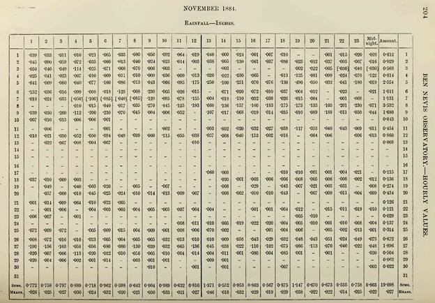
The Weather Rescue project turns printed tables into a digital format
Jonathan.Amos-INTERNET@bbc.co.uk, external and follow me on Twitter: @BBCAmos, external
- Published6 September 2017
- Published18 March 2016
