SSTL to build Canadian satellite constellation
- Published

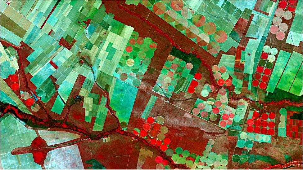
Brazilian fields: There is a growing market in imagery to assist farmers
The Canadian UrtheCast company has formally placed a contract with UK firm SSTL to build its UrtheDaily Earth observation (EO) constellation.
This network of spacecraft, due to launch in 2020, will image the entire global landmass (not including Antarctica) every 24 hours.
One of its key uses will be in “smart agriculture” - taking pictures to help farmers better manage their crops.
SSTL is a world leader in manufacturing satellite constellations.
It has produced series of spacecraft for other EO interests, such as the RapidEye network now owned by Planet and the DMC-3 operation leased to the Chinese concern 21AT.
SSTL is also in the consortium that makes multiple spacecraft for the European Commission’s satellite-navigation system, Galileo.
The Guildford-based manufacturer has been working on the UrtheDaily concept with UrtheCast for a while.
It would see, most probably, eight spacecraft launched into a polar orbit about 600km above the planet.
Arranged like a pearl necklace, these satellites would follow each other, crossing the equator at 10:30 local time.
They would gather something on the order of 140 million square km of land imagery a day (clouds permitting) at a resolution of about 5m.
UrtheCast is a relatively new operator. It started out taking pictures of the Earth from the space station using British-built cameras, and has since acquired the Spanish Deimos satellites to complement its business.
It plans also to launch in the 2020s a novel, high-resolution capability that would see eight pairs of optical and radar satellites circling the globe.
This concept is called OptiSAR. Flying radar with optical enables pictures to be gathered in all weathers, even when there is cloud.
The leading radar satellite would also map the cloud cover so that the trailing optical spacecraft could more efficiently target those regions of the Earth’s surface that were clearly observable.
“We’ve been working with UrtheCast on OptiSAR for about three or four years now, and on UrtheDaily for about the the last year, year and a half," explained Luis Gomes from SSTL.
"There is an identified need in the market for very high-quality imagery at medium resolution, around 5m, for precision agriculture and environmental monitoring.
"We’d already been developing a design for this kind of system and then UrtheCast said it was the kind of thing they wanted.
"The aim is to have all the satellites built by 2020. That’s a challenge, but it’s achievable,” he told BBC News.
SSTL is about to launch a still and video-imaging satellite for the British EO analytics company Earth-i. The spacecraft, dubbed EiX2, will be the first in what is expected to be a large constellation of platforms.
Jonathan.Amos-INTERNET@bbc.co.uk, external and follow me on Twitter: @BBCAmos, external