What's behind the UK's freezing weather?
- Published

As the UK and the wider European continent shivers, the Arctic has witnessed some spectacularly high temperatures in recent days, some 30 degrees above average in places.
Such a topsy-turvy picture inevitably has people wondering if this isn't some kind of fallout from global warming.
But, as ever, meteorologists will not conflate single events with more longer-term trends.
The UK Met Office, for example, is adamant that what is occurring now should be regarded as part of the natural ups and downs we get in our weather.
The current cold snap is likely to have had its origins in the tropical Pacific, believe it or not, and something called the Madden-Julian Oscillation.
This is a short-timescale variation, on the order of weeks, in the pattern of thunderstorms in the region.
This looks to have set in train some disturbances that resulted in a sudden warming a few tens of kilometres up in the atmosphere (a Sudden Stratospheric Warming).
This disruption worked to pull in temperate air over Canada and Greenland and the wider Arctic basin, but also put a block on the jet stream - ribbons of strong winds that move weather around the globe - moving across the Atlantic.
The jet stream actually broke down over Scandinavia, leading to cold air sweeping in from Siberia towards Western Europe.
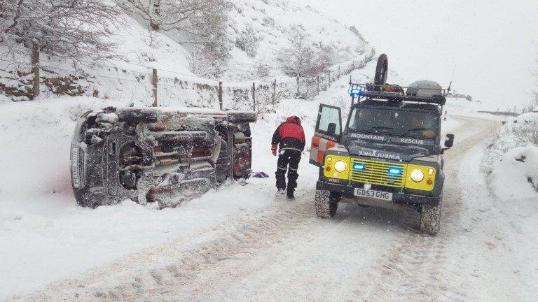
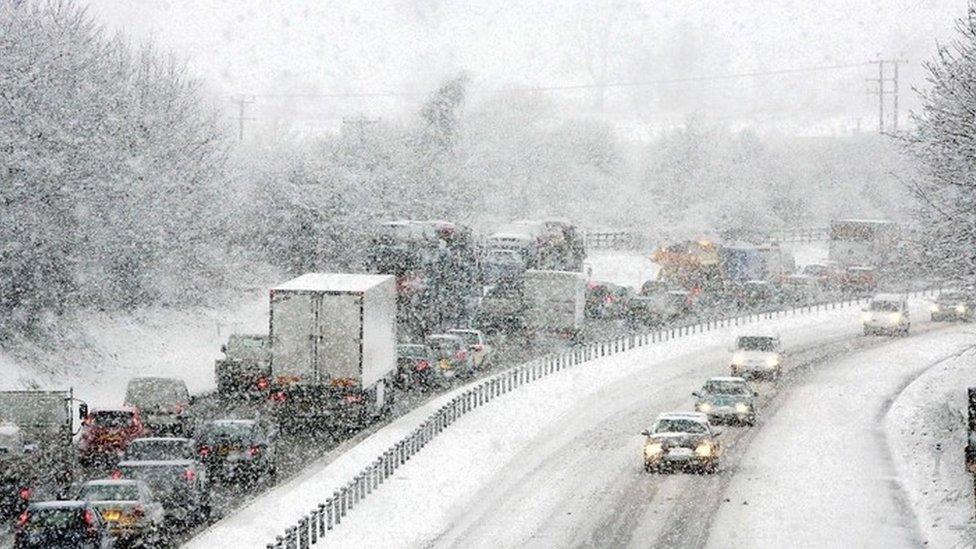
In the western parts of the UK there are now Red Warnings in operation as Storm Emma moves up from the south.
This weather system is pushing moisture ahead of it, and whenever cold air confronts moisture there is the chance for heavy snow.
So meteorologists can describe all these events in an almost mechanical way.
And it is a salute to the skill of modern forecasting that the possibility of what we're experiencing now was seen in the data well over a week ago.
The experts couldn't be sure the cold snap would play out like it has, but they knew they had to start talking about it and raising awareness.
However, all this is a long way from linking the specifics of what we're seeing to trends that become apparent over decades, which you have to do for a judgement about climate change.

Arctic sea ice is low this winter
All that said, the Arctic generally is warming faster than the rest of the globe, and the temperature anomalies in recent days have been extreme.
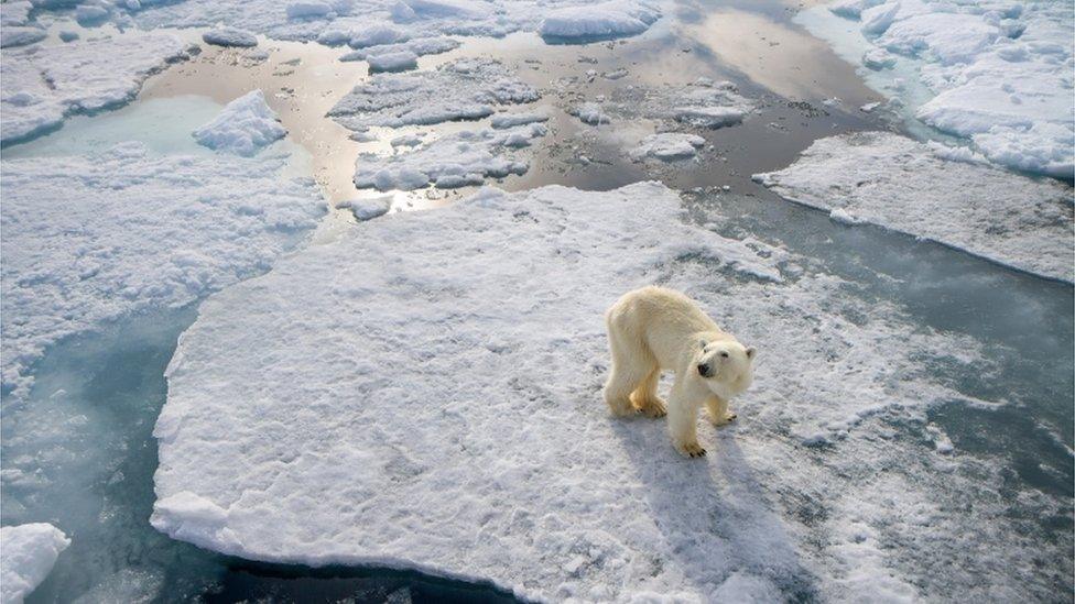
And once again, Arctic sea-ice - that oft-quoted canary of climate change - is very low this winter.
There is an interesting and growing body of research which suggests that a reduced differential between polar and mid-latitude temperatures (where summer temperatures rarely go above 40C, and winters are usually fairly mild) could eventually make for more bumpy weather like we're having now.
It is widely debated but is sure to continue to be a very active line of study.
- Published2 March 2018

- Published1 March 2018

- Published1 March 2018
