Taal volcano's inner lake all but gone in eruption
- Published

The dashed line is the lake's former extent; the solid line is Thursday's extent

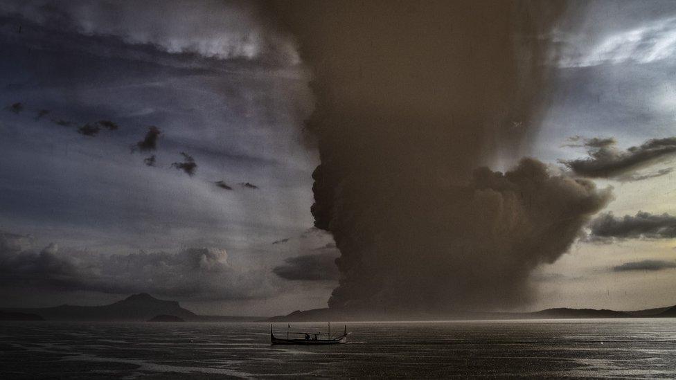
The Taal volcano in the Philippines continued erupting on Thursday, albeit with less of the ash production seen earlier in the week.
Scientists are monitoring the situation remotely, using ground and space instrumentation, to try to gauge what might happen next.
The radar image on this page is the latest to come down from the Iceye radar constellation, external.
The Finnish system senses in the microwave portion of the electromagnetic spectrum, which gives it the ability to see through ejected ash and any cloud to detect directly the hard surface below.
The data reveals how the inner lake ("Yellow Lake") that once filled the very heart of the Taal volcano island has now almost completely disappeared.
It was the interaction of this water with magma that drove a lot of the early explosive behaviour.
The dashed line shows the extent of the lake before the onset of Sunday's eruption phase. The solid line traces the waterline at the time of Thursday's image acquisition (06:37 GMT).
The much wider lake body, "Lake Taal", that surrounds the central edifice of the volcano remains in place.
Allow X content?
This article contains content provided by X. We ask for your permission before anything is loaded, as they may be using cookies and other technologies. You may want to read X’s cookie policy, external and privacy policy, external before accepting. To view this content choose ‘accept and continue’.
Other radar satellites are looking at how the ground is deforming around the volcano.
The EU's Sentinel-1 spacecraft are able to do this by stacking repeat images one on top of each other.
This interferometric technique will help scientists understand how magma is shifting below the volcano and what that might mean for future activity.
Allow X content?
This article contains content provided by X. We ask for your permission before anything is loaded, as they may be using cookies and other technologies. You may want to read X’s cookie policy, external and privacy policy, external before accepting. To view this content choose ‘accept and continue’.
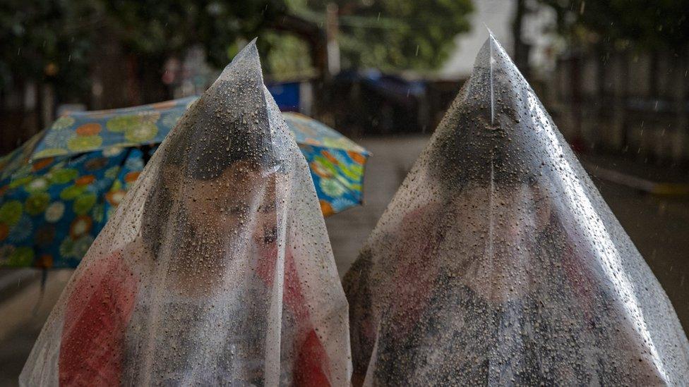
Philippine authorities have been struggling to keep some of the 50,000 residents evacuated from the area from trying to return to their homes to gather possessions and to check on livestock.
"Please allow us to observe the lull period for now. We are studying what that means," Maria Antonia Bornas, a scientist from the Philippines' seismology agency, told reporters.
"A long lull could be just a break from volcanic activity. The danger remains," she was quoted as saying by Agence France-Presse.
Just how much ash has fallen over the surrounding land is evidenced in satellite pictures from the French Spot-7 and Pléiades satellites. The picturesque green landscape has been thoroughly smothered in a blanket of grey.

The central edifice of Taal volcano had a small lake, known as Yellow Lake. The edifice itself is surrounded by a much wider body of water. This is still present
The left-hand image above was acquired in July last year and shows the original extent of the inner crater lake. The right-hand-image was acquired on Tuesday. Optical satellites cannot see through ash and cloud, in contrast to radar satellites.

Zooming in on these pictures it's possible to see how settlements have become smothered by ash.
Jonathan.Amos-INTERNET@bbc.co.uk, external and follow me on Twitter: @BBCAmos, external
- Published12 January 2020
- Published13 January 2020
- Published13 January 2020


