Project seeks super view of Earth's mantle
- Published

Some of the most sophisticated models of the Earth's interior ever constructed will be produced in a new project led from Cardiff University.
Researchers want to simulate the behaviour of the mantle.
This solid rock layer, which resides between the planet's core and crust, moves very slowly over time - roughly at the speed that a fingernail grows.
The scientists will investigate its complex pattern of upwellings and downwellings.
The team hopes its new circulation models will provide fresh insights into how the mantle has influenced the Earth's surface over hundreds of millions of years.
"In the same way that the study of DNA has given us a whole new framework to understand biology, evolution and even this coronavirus we now face - so I want to look to the interior of the Earth to better understand how our planet, our single and sole 'spaceship', really works," project leader Prof Huw Davies told BBC News.

Plate tectonics was a revolution in our understanding of how the Earth works
Everyone is now familiar with plate tectonics - the description of how the rigid outer shell of our planet (its lithosphere) moves and is recycled.
Great strides have been made in developing this theory in the 50 years since it came to prominence.
For example, early ideas suggested the plates simply rode convection cells in the mantle like groceries on a supermarket check-out belt.
But we can now see that it's actually the weight of the ocean plates where they underthrust the continents that plays the major role in driving this remarkable system.
Cold, dense rock at plate margins pulls on everything behind as it sinks into the mantle. And like the slinky dog that's started its journey downstairs, it needs little encouragement to maintain the momentum.
Nonetheless, what goes down is coming back up because the heat of the interior has to be managed and redistributed.

Seismology has given us a flashbulb moment in time, revealing what the interior looks like today
The new project will focus on the where and how of the upwellings, mapping the different regions of temperature, density, and velocity.
Its supercomputer simulations will be constrained by state of the art knowledge in rock physics, chemistry and magnetism.
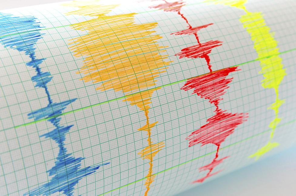
Thanks to seismology, the study of how waves of energy from quakes move through the Earth, we have a very good picture of what the planet's interior looks like today. And the team's models, when they're run forwards and backwards, will have to reproduce this anchoring snapshot.
The goal, says Prof Davies, is to get an accurate representation of behaviour back to about one billion years into the past.
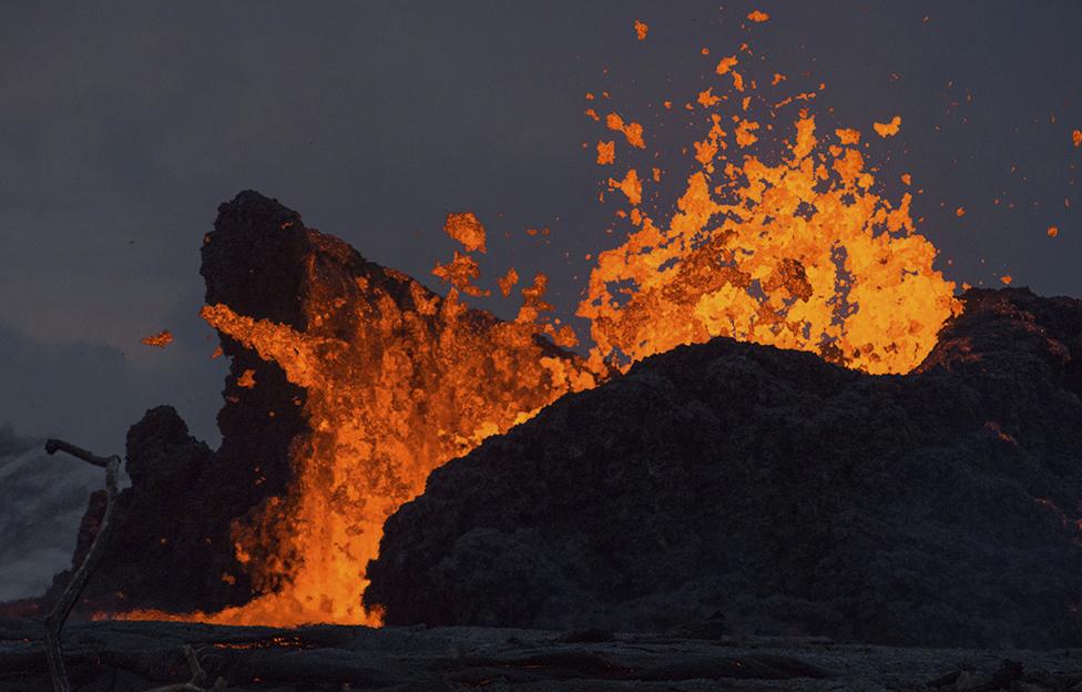
A key target is to understand the upwellings that ultimately result in "hotspots" at the Earth's surface - the places where there have been colossal outpourings of lava and gas through geologic history.

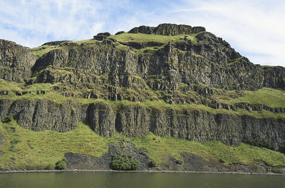
The Columbia River flood basalts in North America: A colossal outpouring of lava and gas
"These are what we call the Large Igneous Provinces, or LIPs," explained Prof Davies.
"There hasn't been anything like this since the Columbia River flood basalts in North America just over 10 million years ago. So, they're rare. And thank goodness, because they can be absolutely catastrophic.
"The Siberian Traps which cover a large part of west Siberia match up with the largest extinction on Earth. A lot of the great extinction events are linked to these LIPs."
The £3m project is funded by the Natural Environment Research Council and will run for four years.
Prof Davies' team has members from the universities of Bristol, Cambridge, Oxford, Leeds, Liverpool, Imperial College London, Royal Holloway University of London, and University College London - in addition to Cardiff.
Jonathan.Amos-INTERNET@bbc.co.uk, external and follow me on Twitter: @BBCAmos, external