Planners 'must prepare' for weather extremes - Met Office
- Published
- comments

The Met Office is launching a tool to help planners prepare for further extremes of rainfall and high temperatures.
It warns that wild weather in the future is likely to place increasing challenges on health, infrastructure and services.
The projections follow a year of UK extremes.
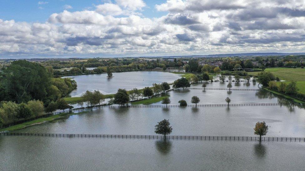
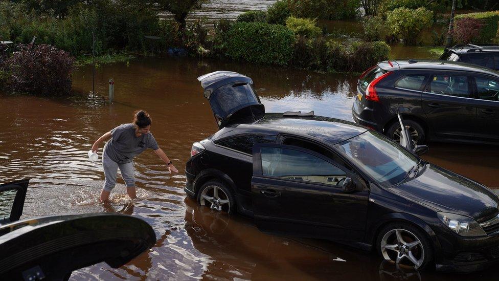
The country experienced its wettest February, a record sunny May and the wettest ever day on 3 October.
This new analysis doesn’t speculate on possible record high temperatures.
Instead, it offers a projection of what researchers call “relatively high extremes” - the sort of weather you’d expect once every 50 years.
The UK Met Office says this is the timeframe that informs decision-making by planners. It says the government, organisations and engineers typically plan to safeguard against a one-in-50-year event – not to protect buildings and systems against more freakish weather.
For London, the high temperature numbers steadily creep up from 1950 - when 35C was a one-in-50-year event - to 2100, when a temperature high-point of 39C is projected to occur every 50 years.
Prof Jason Lowe from the Met Office said: “Some of the most severe consequences of climate change will come from an increasing frequency and severity of extreme weather events.

“We know that, on average, the UK is projected to become hotter and drier in summer, and warmer and wetter in winter.
“This tells us a lot, but for those assessing climate change risk it’s important to better understand how extreme weather events are likely to change too.”
His Met Office colleague Dr Simon Brown added: “If you’re designing a flood-relief scheme or building a railway, for example, you can’t assume that the climate will remain the same - because we know that it is already changing.
“The things you want to know will be 'how much heat or rainfall will my project have to cope with', and that is what our projections will do.”
The analysis is based on a middle-of-the-road climate scenario for greenhouse gas emissions, known as RCP4.5.
This scenario suggests steady rises in the global temperature drive the changes in local extremes. By the 2090s, the global shifts range from 1.4 to 3.3 degrees C, compared with the 1986-2005 period.
The computer tool allows users to examine local areas – down to 25km resolution – and look at the simulated rise for rare high temperature and high rainfall events which may happen on average only one in 20, 50 or 100 years.
Isabella O'Dowd from the green campaign group WWF, said: “These are not records we should be breaking. Weather the UK once classed as extreme is fast on its way to becoming the new normal. These predictions provide further evidence that the natural world is in freefall, and needs our urgent attention.
“Ahead of the climate summit in Glasgow next year the UK must show global leadership by setting out its own ambitious plans for climate action, as promised under the Paris Agreement. Inaction is not an option if we are to protect our planet for future generations.”
Follow Roger on Twitter., external