New Sentinel satellites to check the pulse of Earth
- Published

The Copernicus Sentinels fly a broad suite of high-fidelity sensors
Yet more Sentinel satellites are to be built for the EU's Copernicus Earth observation network.
Contracts have been announced with industry to procure spacecraft that can provide information on a range of parameters - from the extent of Arctic sea-ice to the condition of soils in drought-hit regions of the world.
The new satellites are expected to launch towards the decade's end.
This depends, however, on sufficient further funding being identified.
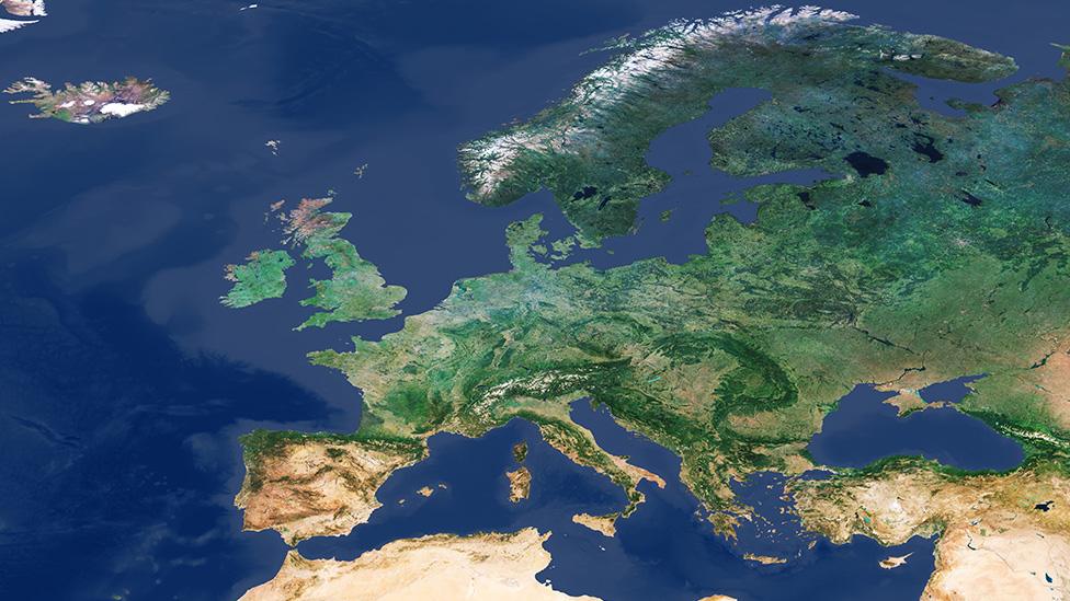
Copernicus, with its Sentinel spacecraft, represents arguably the most ambitious EO programme in the world right now.
While a number of commercial concerns are launching larger numbers of satellites to map the Earth, none is investing in so wide a range of high-fidelity sensor types.

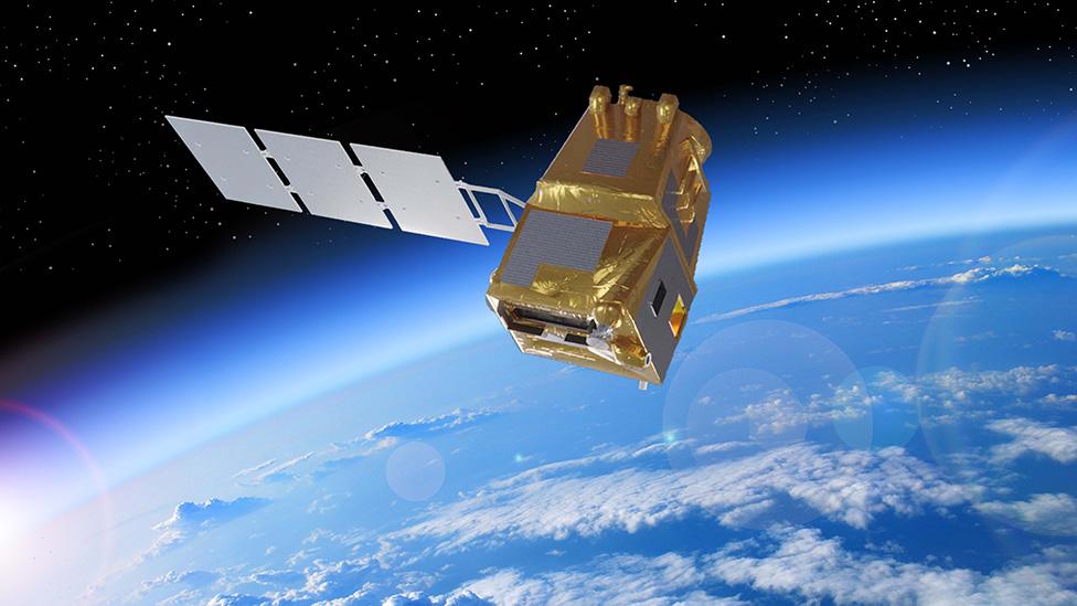
Artwork: LSTM will map the temperature of the land surface at the farm field scale
What's more, all the data from the Sentinels is free and open, including to users outside Europe.
The contracts announced by the European Space Agency (Esa) on Friday begin the development of three systems that, for the moment, carry only codenames:
CHIME (Copernicus Hyperspectral Imaging Mission for the Environment): A hyperspectral imager to return detailed information on the health of crops and other plants. The prime contractor is Thales Alenia Space (TAS) France. Total value of the programme is €455m, which would procure two satellite models.
LSTM (Land Surface Temperature Monitoring): A thermal infrared sensor to measure land-surface temperature. Again, useful in agriculture and to predict drought. The prime contractor is Airbus Spain. The total value of this programme is €380m; and, again, it would secure two satellite models.
CIMR (Copernicus Imaging Microwave Radiometer): A microwave radiometer to measure sea-surface temperature and salinity, and sea-ice concentration. The prime contractor is Thales Alenia Space Italy. Total value is €495m and, likewise, would secure two spacecraft.
Once Esa and the European Commission are satisfied the financing and the technical wherewithal is in place to fully implement these missions, they will be given a Sentinel designation - just as the six existing programmes have: Sentinel-1, -2, -3, -4, -5 and -6.

What is the Copernicus programme?
EU project that is being procured with European Space Agency help
Pulls together all Earth-monitoring data, from space and the ground
Will use a range of spacecraft - some already up there, others yet to fly
Expected to be invaluable to scientists studying climate change
Important for disaster response - earthquakes, floods, fires etc
Data will also help design and enforce EU policies: fishing quotas etc

In July this year, a contract was awarded to OHB-System of Germany to provide Sentinels (Codename: CO2M) to map carbon dioxide concentrations in the atmosphere; and in September, Airbus Germany was asked to get working on a Sentinel that could measure the shape and thickness of polar ice, external (Codename: Cristal).
There is also one other mission that is planned but has yet to reach the contract stage. That's for an L-band radar that can also observe ice but many other targets as well, including forests and soils. Thales Alenia Space Italy will be the prime for the mission, codenamed Rose-L. The contract specifics should be tied up by December at the latest.
"It's been a huge effort to procure these six satellites in parallel," said Toni Tolker-Nielsen, Esa's head of industrial projects for Earth Observation.
"It was done under Covid constraints. Industry prepared thousands and thousands of pages of proposals which we then had a team of 300 people go over in the evaluation boards. So, it's been hard work for so many people and that's part of what makes this a special day," he told BBC News.
All the work for these future Sentinels is in what's called in the aerospace business a B2 phase, where engineers do detailed design. It's also where the costs get refined.
This phase runs until the end of next year when Esa and the European Commission will do a stocktake to assess where they are in terms of financing (the Sentinel programme is shared roughly 30% Esa and 70% EC).

CIMR: The concentration of sea-ice is measured from space by microwave radiometers
Viewed right now, it's not clear how all six new satellite missions can be developed at the same pace.
Member states to Esa gave the agency's Copernicus activities more than was requested when they convened at a special council meeting last year - some €1.8bn. But on Tuesday this week, discussions around the EU's next seven-year budget began to solidify - and it wasn't good news for Copernicus.
The proposed €4.8bn envelope would leave a significant shortfall in funding of about €2bn.
There is hope that the UK, which left the EU in January, can soon re-associate, which would bring with it a potential subscription worth several hundred millions euros over the seven years.
But this association is at the mercy of the wider post-Brexit trade deal between the EU-27 and Britain. If the current talks fail - and the mood music has soured again in recent days - then Copernicus membership for the UK will almost certainly come off the table as well, in the short term at least.
On a brighter note, the first Sentinel-6 satellite is due to be launched on 21 November.
This is a radar altimeter that will measure very precisely the height of the world's oceans. It's data that is critical for understanding sea-level rise but also for weather forecasting and a host of maritime applications, such as efficient routing for ships.

Existing EU/Esa Sentinel satellites
Sentinel-1: Radar satellite that can see the Earth's surface in all weathers
Sentinel-2: Multi-wavelength detectors to study principally land changes
Sentinel-3: Multiple sensors tuned to observe ocean properties/behaviour
Sentinel-4: Future high-orbiting sensor to measure atmospheric gases
Sentinel-5: Low-orbiting atmospheric sensor to help monitor air quality
Sentinel-6: Follow-on to the long-running Jason sea-surface height series

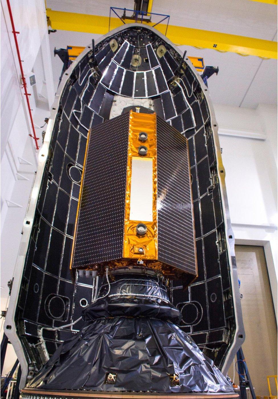
Sentinel-6 is the latest satellite in the series to launch to orbit
