The Cornish hut that gave rise to sea level benchmark
- Published
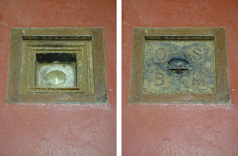
Ordnance Datum Newlyn: The brass bolt marker (L) sits under a cover (R)
It's not much to look at - an anonymous red-and-white concrete hut that has that familiar battered seaside look.
But the building, on the end of South Pier in Cornwall's Newlyn Harbour, is celebrating an important anniversary.
It was measurements made in the hut, and completed on 30 April 1921, that established mean sea level.
And it's this surface, known as Ordnance Datum Newlyn (ODN), that became the reference against which all other elevations were compared.
Every hill, mountain and building in Britain could be described as being so many feet above the Cornish benchmark.
"Without that datum point, without that 'height zero' level that everyone agrees to use, nothing we do would fit," said Mark Greaves, from Ordnance Survey (OS), external, the UK's national mapping agency.
"Even with our modern technologies - you know, in some of our applications you can fly around Ben Nevis (the highest mountain in Britain), for example - none of that would be possible. It's a fundamental underpinning," he told BBC News.
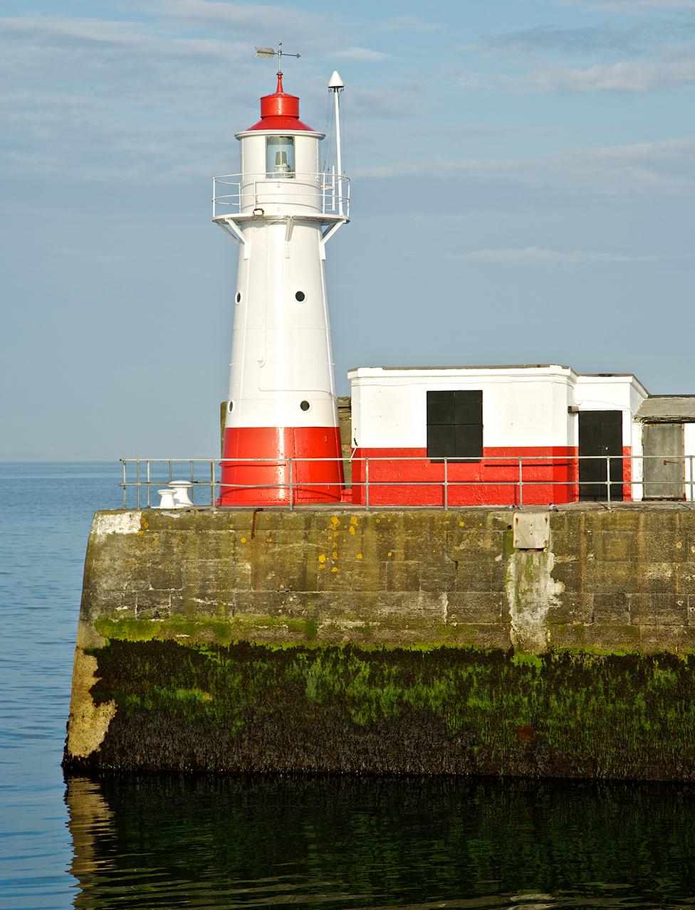
The six-year study was conducted in the concrete building behind the Newlyn lighthouse
Newlyn's efforts to begin measuring mean sea level during WWI were by no means the first attempt to track the highs and lows of tidal movements around the UK. But as scientists came to understand better the complexities of capturing and fixing a robust reference, the Cornish station took on primary importance.
It was in an excellent position to do so. The pier stood on stable granite and the harbour, being close to the open ocean, was less affected by the confounding behaviour of waters that swirled around other stations sited near rivers and estuaries.
OS ran a six-year study from the now-Grade-II-listed hut, starting on 1 May 1915.
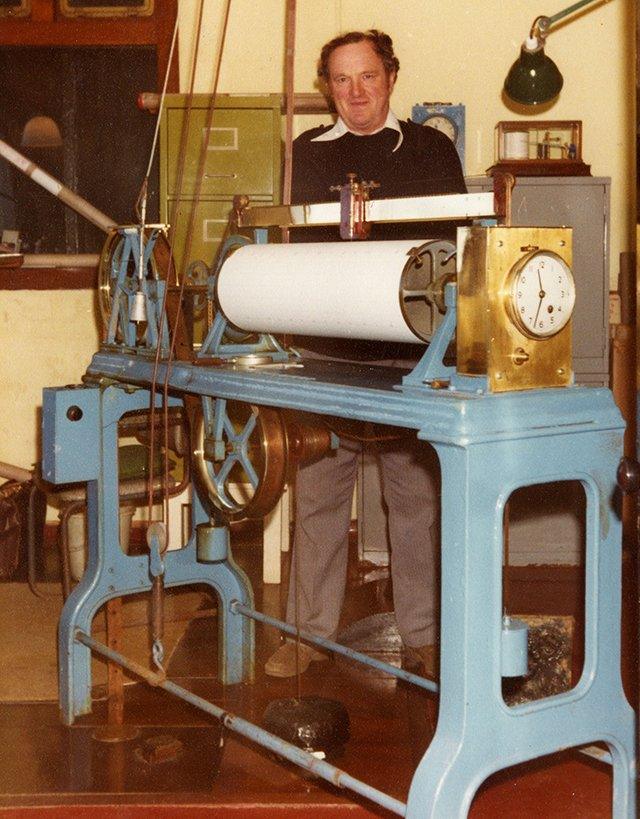
OS maintained full-time observers at the Newlyn station until 1983
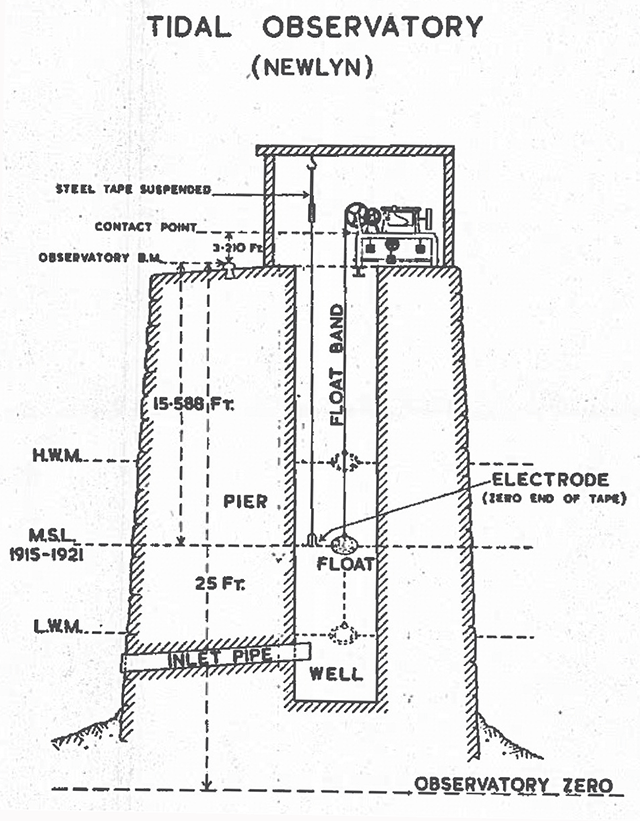
Sea level was measured through a hole in the floor that led down into a chamber which was open to the harbour. A float connected to a chart-recording gauge monitored the ups and downs of Newlyn's tides.
The gauge was inspected twice daily to see that it was still working properly, and temperature, barometric pressure, and salinity measurements were also taken.
There's a brass bolt in the floor of the hut. ODN, at the end of the six-year investigation, was determined to be 15.588ft (4.751m) below this mark, external.
It was then possible, using the standard levelling techniques at the time, to go out and describe elevations anywhere in the country, using Newlyn as the common comparator.
Measuring heights today has been transformed by satellites.
GPS receivers measure height above a mathematical surface known as the ellipsoid but the data from gravity sensors in orbit has been used to construct surface models (a geoid) against which GPS heights can be converted to give you an elevation above mean sea-level to a few millimetres.
"We now use satellites to measure height relative to the ellipsoid, but ellipsoidal heights are not what you might call 'natural'," said Mark Greaves.
"It still seems natural to have a height that's somehow relative to the sea. We're land-based creatures after all And if you're stood on a beach, it just feels right that height-zero should be somewhere around where you get your feet wet."
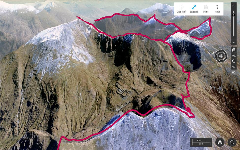
OS map applications allow you to fly around 3D mountains
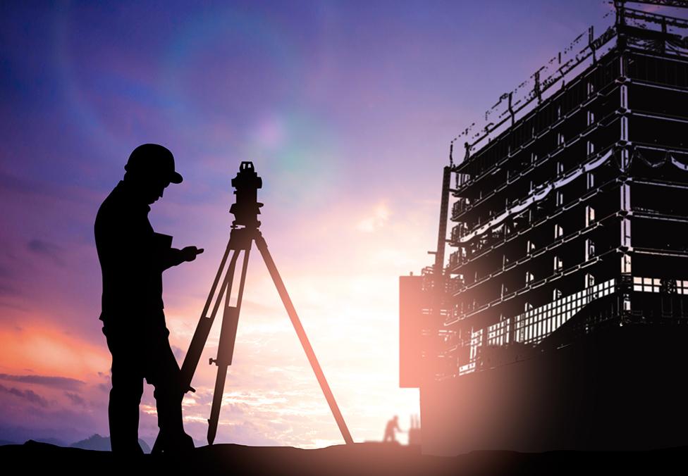
However heights are measured, it's a critical endeavour. So many fields are utterly dependent on accurate mapping with precise elevation data.
Modelling areas most likely to flood; understanding how air pollution will move around tall structures in a city; knowing where to site solar panels or cell towers so they're not shadowed; planning the routes of new rail and road infrastructure; even plotting the flight paths of the drones that will one day deliver our online purchases.
All of these applications have a link to the legacy founded in that hut on Newlyn's South Pier on 30 April 1921.
So many fields are now dependent on precise elevation data
