Potential potholes detected by smart scanner
- Published

In a test, the device correctly identified 900 potential pothole sites.
Smart scanners that can identify the sites of potholes before they form are being developed by academics at Nottingham Trent University.
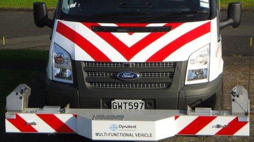
An algorithm processes data captured by 2D and 3D scanners and sensors positioned at the front of a van.
It identifies signs of "ravelling" - damage to the asphalt that leads to cracks and potholes.
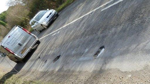
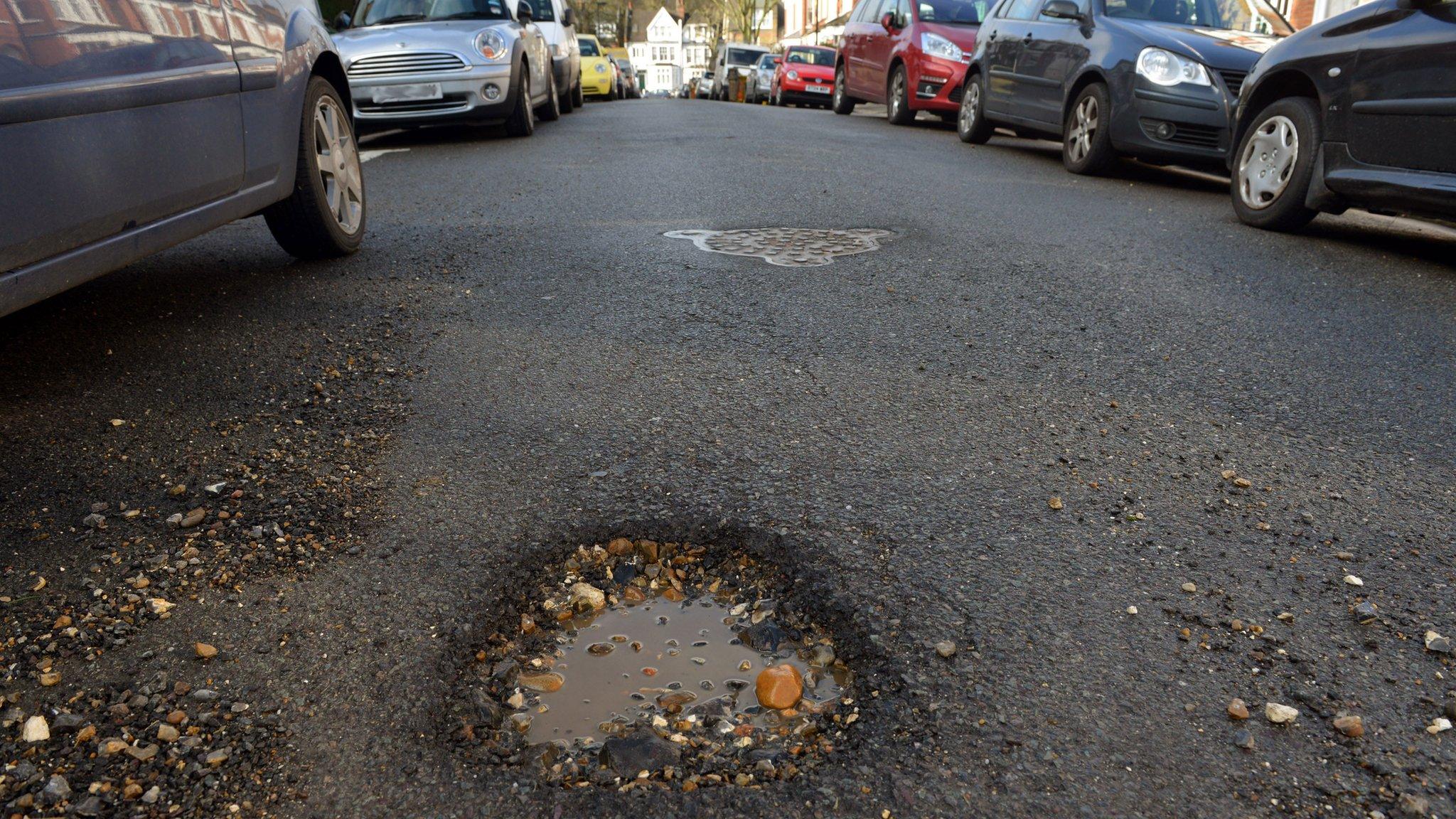
Drivers claimed more than £3m compensation for pothole damage in the UK last year, according to the RAC.
The scanner system can distinguish ravelling from other textural differences on the road, such as oil spills, tyre marks and previous pothole repairs.
In a test, the device correctly identified 900 potential sites. It took 0.65 seconds to process the data, the researchers say.
While the technology would be adopted by paving specialists Dynatest, who collaborated on the research project, it would also be open-source, said Dr Senthan Mathavan, lead researcher and visiting fellow at Nottingham Trent University.
The sensors used on the device were the same as those developed to help robots perceive their environment, he said.

The RAC says drivers claimed more than £3m compensation for vehicle damage caused by potholes
"These sensors are common to us and to civil engineers," he said.
"The technology is established, but we're using the data to look for much smaller defects."
Fellow researcher Dr Mujib Rahman added: "Dealing with road-surface damage like potholes in the early stages is cheaper in the long-term than reacting to potholes when they occur.
"This technology will also allow councils to plan ahead better and be more efficient with any programme of repairs.
"If councils know that there's likely to be a pothole in a certain part of a road in say three years' time, they can plan the repair before it gets to the point that an emergency repair is needed."
The research has been published in the journal Transportation Research Record, external.
- Published26 January 2015

- Published26 January 2015
