High-speed rail map: Proposed new stations
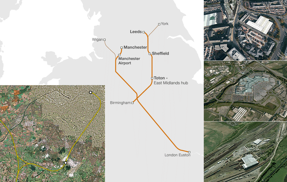
There will be five new stations on phase two of the proposed high-speed rail line from Birmingham to Manchester and Leeds. A final decision on the route will be taken in 2014. The map below shows where the five new stations will be built.
Two new Manchester stations
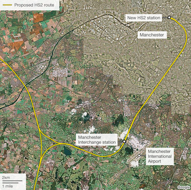
The government believes the HS2 would virtually halve journey times between London and Manchester; from two hours and eight minutes to one hour and eight minutes.
New station for Leeds
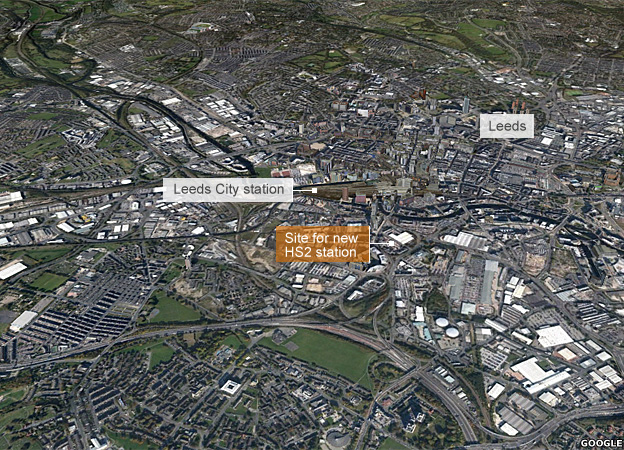
The phase two link onwards from Birmingham to Leeds could start being built in the middle of the next decade, with the new station and line open by 2032-33.
Sheffield station in shopping centre
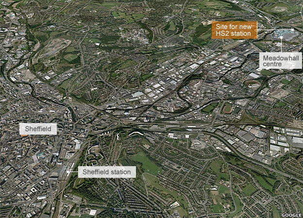
The new Sheffield station will be built at the Meadowhall shopping centre, five miles from the city centre.
East Midlands hub
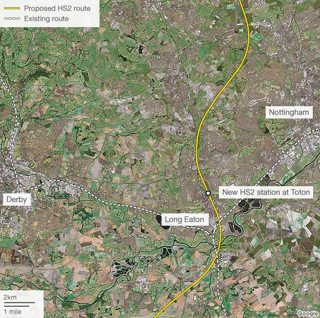
The new station at Toton will be built near sidings currently used as storage for more than 50 locomotives and will act as a gateway to Derby and Nottingham.

 MPs warn on growth of UK jihadists